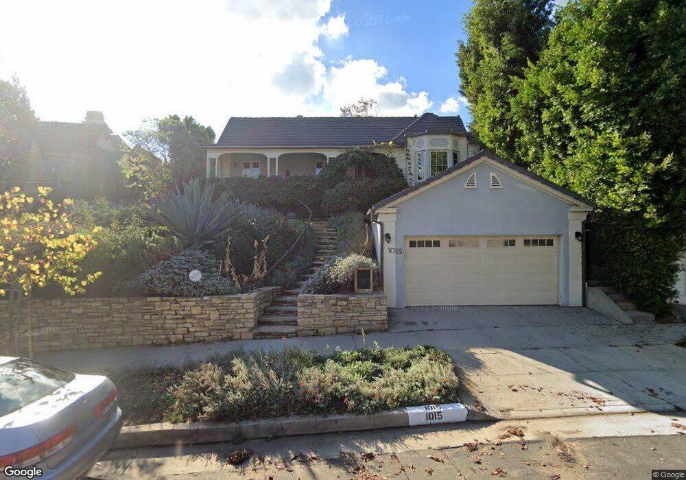
1015 Manning Ave Los Angeles, CA 90024
Westwood NeighborhoodEstimated Value: $3,481,000 - $4,750,000
3
Beds
3
Baths
3,108
Sq Ft
$1,295/Sq Ft
Est. Value
About This Home
This home is located at 1015 Manning Ave, Los Angeles, CA 90024 and is currently estimated at $4,024,943, approximately $1,295 per square foot. 1015 Manning Ave is a home located in Los Angeles County with nearby schools including Warner Avenue Elementary, Ralph Waldo Emerson Community Charter Middle School, and University High School Charter.
Ownership History
Date
Name
Owned For
Owner Type
Purchase Details
Closed on
Jul 1, 2014
Sold by
New Horizon Consulting Inc
Bought by
Hall Timothy M
Current Estimated Value
Home Financials for this Owner
Home Financials are based on the most recent Mortgage that was taken out on this home.
Original Mortgage
$1,702,500
Outstanding Balance
$1,244,412
Interest Rate
3.12%
Mortgage Type
Adjustable Rate Mortgage/ARM
Estimated Equity
$2,780,531
Purchase Details
Closed on
Oct 1, 2013
Sold by
Kline Richard H and The Richard H Kline Revocable
Bought by
New Horizon Consulting Inc
Home Financials for this Owner
Home Financials are based on the most recent Mortgage that was taken out on this home.
Original Mortgage
$1,170,000
Interest Rate
4.53%
Mortgage Type
Purchase Money Mortgage
Create a Home Valuation Report for This Property
The Home Valuation Report is an in-depth analysis detailing your home's value as well as a comparison with similar homes in the area
Home Values in the Area
Average Home Value in this Area
Purchase History
| Date | Buyer | Sale Price | Title Company |
|---|---|---|---|
| Hall Timothy M | $2,270,000 | Lawyers Title Company | |
| New Horizon Consulting Inc | $1,800,000 | Pacific Coast Title Company |
Source: Public Records
Mortgage History
| Date | Status | Borrower | Loan Amount |
|---|---|---|---|
| Open | Hall Timothy M | $1,702,500 | |
| Previous Owner | New Horizon Consulting Inc | $1,170,000 |
Source: Public Records
Tax History Compared to Growth
Tax History
| Year | Tax Paid | Tax Assessment Tax Assessment Total Assessment is a certain percentage of the fair market value that is determined by local assessors to be the total taxable value of land and additions on the property. | Land | Improvement |
|---|---|---|---|---|
| 2025 | $33,717 | $2,819,219 | $2,163,328 | $655,891 |
| 2024 | $33,717 | $2,763,941 | $2,120,910 | $643,031 |
| 2023 | $33,063 | $2,709,747 | $2,079,324 | $630,423 |
| 2022 | $31,523 | $2,656,615 | $2,038,553 | $618,062 |
| 2021 | $31,141 | $2,604,526 | $1,998,582 | $605,944 |
| 2020 | $31,466 | $2,577,820 | $1,978,089 | $599,731 |
| 2019 | $30,206 | $2,527,275 | $1,939,303 | $587,972 |
| 2018 | $29,057 | $2,397,722 | $1,901,278 | $496,444 |
| 2016 | $27,800 | $2,304,617 | $1,827,450 | $477,167 |
| 2015 | $27,391 | $2,270,000 | $1,800,000 | $470,000 |
| 2014 | $24,083 | $1,800,000 | $1,500,000 | $300,000 |
Source: Public Records
Map
Nearby Homes
- 10736 Le Conte Ave
- 10701 Wilshire Blvd Unit 503
- 10701 Wilshire Blvd Unit 1601
- 10701 Wilshire Blvd Unit 306
- 10727 Wilshire Blvd Unit 301
- 10727 Wilshire Blvd Unit 1802
- 10727 Wilshire Blvd Unit 501
- 10727 Wilshire Blvd Unit 806
- 10727 Wilshire Blvd Unit 1805
- 10727 Wilshire Blvd Unit 2002
- 10778 Weyburn Ave
- 10601 Wilshire Blvd Unit 1201
- 10601 Wilshire Blvd Unit 1603
- 10601 Wilshire Blvd Unit PHE
- 10601 Wilshire Blvd Unit 403
- 10601 Wilshire Blvd Unit 19E
- 10747 Wilshire Blvd Unit 601
- 10747 Wilshire Blvd Unit 1102
- 901 Malcolm Ave
- 820 Glenmont Ave
- 1009 Manning Ave
- 1021 Manning Ave
- 1001 Manning Ave
- 1034 Selby Ave
- 1027 Manning Ave
- 1040 Selby Ave
- 1028 Selby Ave
- 957 Manning Ave
- 1046 Selby Ave
- 1014 Manning Ave
- 1035 Manning Ave
- 1022 Manning Ave
- 951 Manning Ave
- 1022 Selby Ave
- 10723 Lindbrook Dr
- 10729 Lindbrook Dr
- 1030 Manning Ave
- 1054 Selby Ave
- 1000 Manning Ave
- 10717 Lindbrook Dr