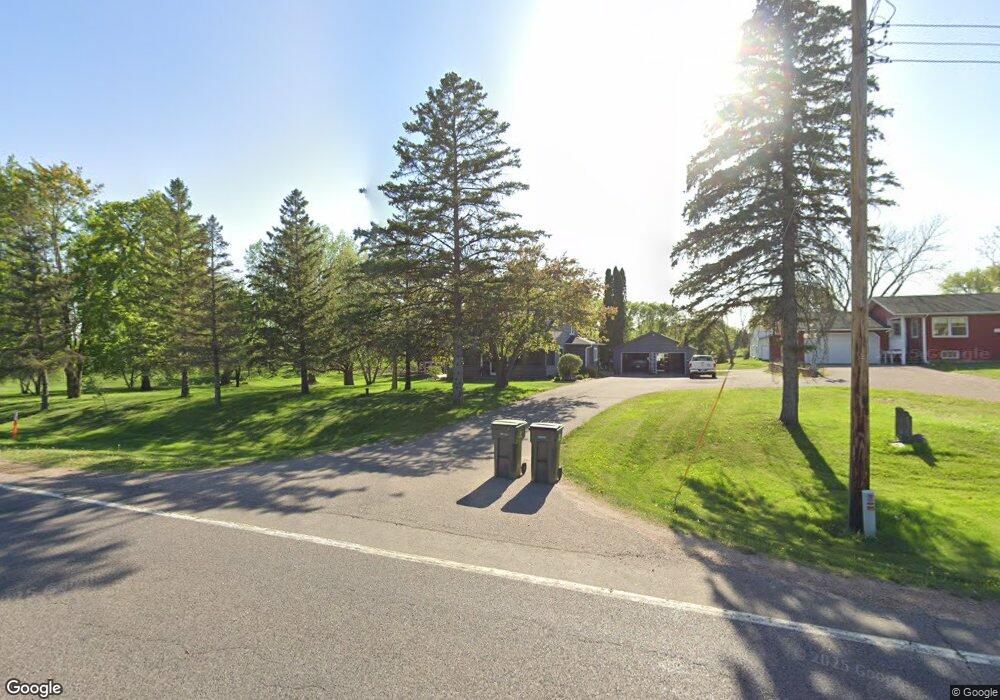
10150 State Highway 284 Waconia, MN 55387
Estimated Value: $421,000 - $492,000
4
Beds
3
Baths
1,706
Sq Ft
$270/Sq Ft
Est. Value
About This Home
This home is located at 10150 State Highway 284, Waconia, MN 55387 and is currently estimated at $461,449, approximately $270 per square foot. 10150 State Highway 284 is a home located in Carver County with nearby schools including Southview Elementary School, Waconia Middle School, and Waconia High School.
Ownership History
Date
Name
Owned For
Owner Type
Purchase Details
Closed on
Jun 7, 2018
Sold by
Puckett Troy P and Puckett Becky J
Bought by
Scharenbrock Aaron John and Scharenbrock Amy Leah
Current Estimated Value
Home Financials for this Owner
Home Financials are based on the most recent Mortgage that was taken out on this home.
Original Mortgage
$291,600
Outstanding Balance
$252,750
Interest Rate
4.6%
Mortgage Type
New Conventional
Estimated Equity
$208,699
Create a Home Valuation Report for This Property
The Home Valuation Report is an in-depth analysis detailing your home's value as well as a comparison with similar homes in the area
Home Values in the Area
Average Home Value in this Area
Purchase History
| Date | Buyer | Sale Price | Title Company |
|---|---|---|---|
| Scharenbrock Aaron John | $324,000 | Results Title |
Source: Public Records
Mortgage History
| Date | Status | Borrower | Loan Amount |
|---|---|---|---|
| Open | Scharenbrock Aaron John | $291,600 |
Source: Public Records
Tax History Compared to Growth
Tax History
| Year | Tax Paid | Tax Assessment Tax Assessment Total Assessment is a certain percentage of the fair market value that is determined by local assessors to be the total taxable value of land and additions on the property. | Land | Improvement |
|---|---|---|---|---|
| 2025 | $3,632 | $395,300 | $171,000 | $224,300 |
| 2024 | $3,528 | $400,900 | $166,300 | $234,600 |
| 2023 | $3,424 | $400,900 | $166,300 | $234,600 |
| 2022 | $3,514 | $392,000 | $166,300 | $225,700 |
| 2021 | $3,466 | $329,700 | $127,900 | $201,800 |
| 2020 | $3,088 | $329,700 | $127,900 | $201,800 |
| 2019 | $2,718 | $265,600 | $116,700 | $148,900 |
| 2018 | $996 | $265,600 | $116,700 | $148,900 |
| 2017 | $882 | $248,300 | $109,300 | $139,000 |
| 2016 | $880 | $88,400 | $0 | $0 |
| 2015 | $1,777 | $189,200 | $0 | $0 |
| 2014 | $1,777 | $163,900 | $0 | $0 |
Source: Public Records
Map
Nearby Homes
- 1767 Campfire Dr W
- 1774 Campfire Dr W
- 1887 Campfire Dr W
- 1951 Woods Point
- Shadowood Plan at Woodland Creek
- Legend Plan at Woodland Creek
- 1843 Campfire Dr E
- 1851 Campfire Dr E
- 1958 Campfire Dr E
- 1954 Campfire Dr E
- 1956 Campfire Dr E
- 629 Sierra Pkwy
- 565 Waterford Place
- 561 Waterford Place
- 558 Waterford Place
- 317 Ravencroft Rd
- 321 Ravencroft Rd
- 325 Ravencroft Rd
- 609 Sierra Pkwy
- 162 Huntington Dr
- 10130 State Highway 284
- 10080 State Highway 284
- 10440 102nd St
- 10480 102nd St
- 10350 102nd St
- 10555 102nd St
- 10020 State Highway 284
- 10020 Minnesota 284
- 10465 Elm Creek Rd
- 10010 State Highway 284
- 10010 10010 Highway 284
- 10010 Minnesota 284
- 1750 Campfire Dr W
- 1703 Campfire Dr E
- 1704 Campfire Dr E
- 10475 Elm Creek Rd
- 1712 Campfire Dr E
- 1882 Campfire Dr W
- 1884 Campfire Dr W
- 10545 102nd St