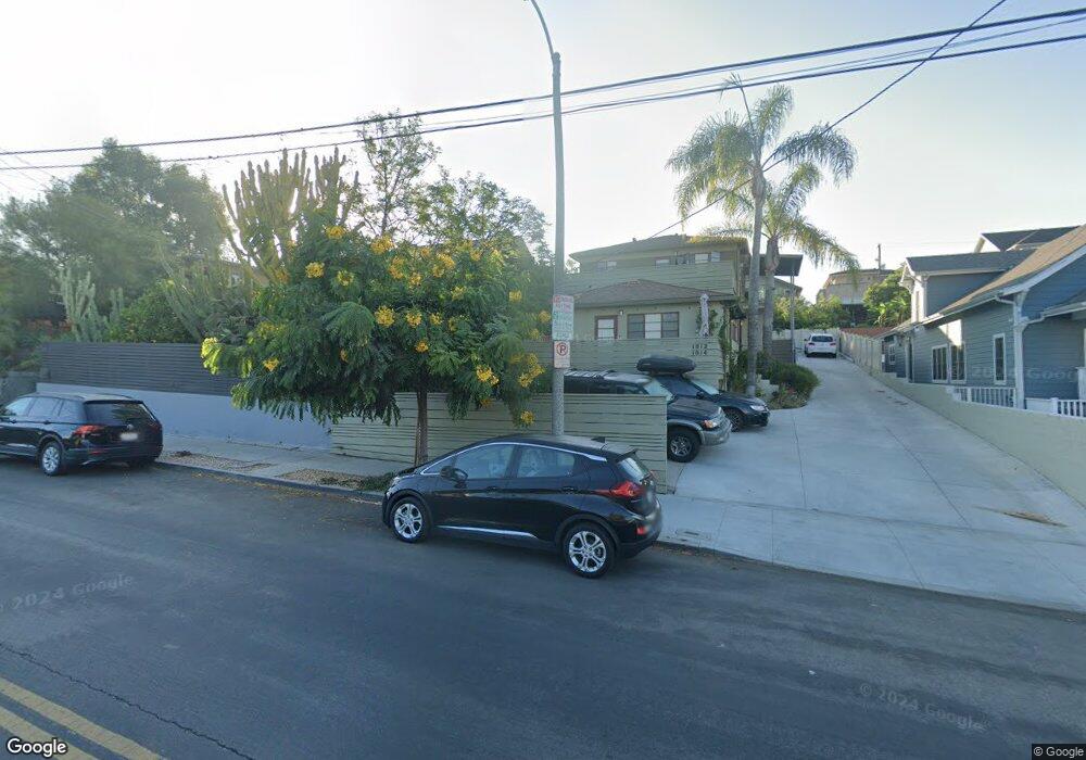
1016 1/2 Hyperion Ave Los Angeles, CA 90029
Estimated Value: $795,000 - $1,385,000
1
Bed
1
Bath
738
Sq Ft
$1,357/Sq Ft
Est. Value
About This Home
This home is located at 1016 1/2 Hyperion Ave, Los Angeles, CA 90029 and is currently estimated at $1,001,800, approximately $1,357 per square foot. 1016 1/2 Hyperion Ave is a home located in Los Angeles County with nearby schools including Micheltorena Street Elementary School, Thomas Starr King Middle School Film and Media Magnet, and John Marshall Senior High.
Ownership History
Date
Name
Owned For
Owner Type
Purchase Details
Closed on
Nov 17, 1993
Sold by
Mdanat Bravo R F and Mdanat Monica
Bought by
Egan Thomas
Current Estimated Value
Home Financials for this Owner
Home Financials are based on the most recent Mortgage that was taken out on this home.
Original Mortgage
$104,000
Interest Rate
7.37%
Create a Home Valuation Report for This Property
The Home Valuation Report is an in-depth analysis detailing your home's value as well as a comparison with similar homes in the area
Home Values in the Area
Average Home Value in this Area
Purchase History
| Date | Buyer | Sale Price | Title Company |
|---|---|---|---|
| Egan Thomas | $114,000 | World Title Company |
Source: Public Records
Mortgage History
| Date | Status | Borrower | Loan Amount |
|---|---|---|---|
| Previous Owner | Egan Thomas | $104,000 |
Source: Public Records
Tax History Compared to Growth
Tax History
| Year | Tax Paid | Tax Assessment Tax Assessment Total Assessment is a certain percentage of the fair market value that is determined by local assessors to be the total taxable value of land and additions on the property. | Land | Improvement |
|---|---|---|---|---|
| 2025 | $2,350 | $193,730 | $154,997 | $38,733 |
| 2024 | $2,350 | $189,932 | $151,958 | $37,974 |
| 2023 | $2,305 | $186,209 | $148,979 | $37,230 |
| 2022 | $2,196 | $182,558 | $146,058 | $36,500 |
| 2021 | $2,166 | $178,980 | $143,195 | $35,785 |
| 2019 | $2,099 | $173,674 | $138,949 | $34,725 |
| 2018 | $2,052 | $170,270 | $136,225 | $34,045 |
| 2016 | $1,951 | $163,660 | $130,936 | $32,724 |
| 2015 | $1,922 | $161,203 | $128,970 | $32,233 |
| 2014 | $1,934 | $158,046 | $126,444 | $31,602 |
Source: Public Records
Map
Nearby Homes
- 916 Sanborn Ave
- 1018 Manzanita St
- 1016 Manzanita St
- 3924 W Sunset Blvd
- 971 Manzanita St
- 910 Rector Place
- 1118 Sanborn Ave
- 975 Lucile Ave
- 967 Lucile Ave
- 4202 Lexington Ave
- 970 N Hoover St
- 962 N Hoover St
- 4111 W Sunset Blvd Unit 220
- 3432 Larissa Dr
- 1132 Manzanita St
- 3801 Effie St
- 1145 N Hoover St
- 1128 N Commonwealth Ave
- 1644 Maltman Ave
- 816 Hyperion Ave
- 1016 Hyperion Ave
- 1014 1/2 Hyperion Ave Unit 1014 12 Hyperion Ave.
- 1012 Hyperion Ave
- 1014 1/4 Hyperion Ave Unit 1014.25
- 1022 Hyperion Ave
- 1006 Hyperion Ave
- 1026 Hyperion Ave
- 1017 Hyperion Ave Unit 1017 Hyperion
- 1017 Hyperion Ave Unit 1
- 1017 Hyperion Ave
- 1000 Hyperion Ave
- 1030 Hyperion Ave
- 1417 Lucile Ave Unit 1
- 1417 Lucile Ave
- 1411 Lucile Ave
- 1423 Lucile Ave
- 1013 Hyperion Ave
- 988 Hyperion Ave
- 1407 Lucile Ave
- 1005 Hyperion Ave