1016 Gail Farrell Dr Durant, OK 74701
Estimated Value: $261,782 - $338,000
3
Beds
3
Baths
1,963
Sq Ft
$156/Sq Ft
Est. Value
About This Home
This home is located at 1016 Gail Farrell Dr, Durant, OK 74701 and is currently estimated at $305,946, approximately $155 per square foot. 1016 Gail Farrell Dr is a home located in Bryan County with nearby schools including Northwest Heights Elementary School, Washington Irving Elementary School, and Durant Intermediate Elementary School.
Ownership History
Date
Name
Owned For
Owner Type
Purchase Details
Closed on
Jan 4, 2017
Sold by
Stroup Debra J
Bought by
Britton Stephen Paul and Britton Allison Dru
Current Estimated Value
Home Financials for this Owner
Home Financials are based on the most recent Mortgage that was taken out on this home.
Original Mortgage
$209,000
Outstanding Balance
$171,791
Interest Rate
4.03%
Mortgage Type
New Conventional
Estimated Equity
$134,155
Purchase Details
Closed on
Jan 12, 1998
Sold by
Thomas Robert and Thomas Erma
Bought by
Thomas Family Trust
Create a Home Valuation Report for This Property
The Home Valuation Report is an in-depth analysis detailing your home's value as well as a comparison with similar homes in the area
Home Values in the Area
Average Home Value in this Area
Purchase History
| Date | Buyer | Sale Price | Title Company |
|---|---|---|---|
| Britton Stephen Paul | $220,000 | None Available | |
| Thomas Family Trust | -- | -- |
Source: Public Records
Mortgage History
| Date | Status | Borrower | Loan Amount |
|---|---|---|---|
| Open | Britton Stephen Paul | $209,000 |
Source: Public Records
Tax History Compared to Growth
Tax History
| Year | Tax Paid | Tax Assessment Tax Assessment Total Assessment is a certain percentage of the fair market value that is determined by local assessors to be the total taxable value of land and additions on the property. | Land | Improvement |
|---|---|---|---|---|
| 2024 | $2,222 | $22,820 | $1,953 | $20,867 |
| 2023 | $2,222 | $21,734 | $1,953 | $19,781 |
| 2022 | $2,040 | $21,734 | $1,953 | $19,781 |
| 2021 | $2,090 | $21,734 | $1,953 | $19,781 |
| 2020 | $2,088 | $21,734 | $1,953 | $19,781 |
| 2019 | $2,008 | $22,148 | $1,953 | $20,195 |
| 2018 | $2,175 | $24,200 | $2,475 | $21,725 |
| 2017 | $1,510 | $17,913 | $1,815 | $16,098 |
| 2016 | $1,476 | $17,391 | $3,134 | $14,257 |
| 2015 | $1,425 | $16,885 | $1,650 | $15,235 |
| 2014 | $1,424 | $16,885 | $1,650 | $15,235 |
Source: Public Records
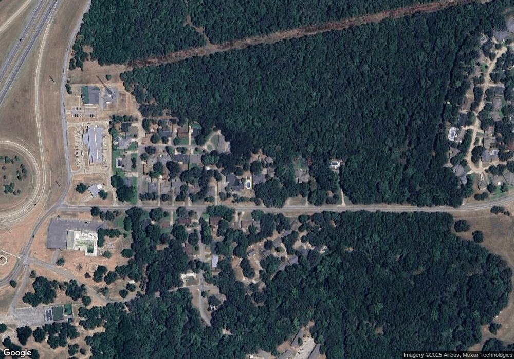
Map
Nearby Homes
- 905 Brookside Dr
- 1110 Ada St
- 927 Crooked Oak Dr
- 906 Briarwood Place
- 001 N Washington Ave
- 988 Wilson St
- 824 Wilson St
- 1107 Wilson St
- 114 Wilson Loop
- 0 N Washington Ave
- 1003 Four Seasons Dr
- 1019 Four Seasons Dr
- 0 Wilson St
- 00 Ed F Davis Rd
- 00031 Ed F Davis Rd
- 00030 Ed F Davis Rd
- 1832 Red Fox Rd
- 4001 N Washington Ave
- 1715 Worley St
- 1521 N 10th Ave
- 1012 Gail Farrell Dr
- 1020 Gail Farrell Dr
- 919 Gail Farrell Dr
- 921 Gail Farrell Dr
- 1010 Gail Farrell Dr
- 1100 Ada St
- 1001 Gail Farrell Dr
- 1024 Gail Farrell Dr
- 902 Brookside Dr
- 904 Brookside Dr
- 1005 Gail Farrell Dr
- 1100 Gail Farrell Dr
- 1002 Brookside Dr
- 900 Brookside Dr
- 2808 Briarwood Ave
- 1003 Brookside Dr
- 1102 Ada St
- 800 Gail Farrell Dr