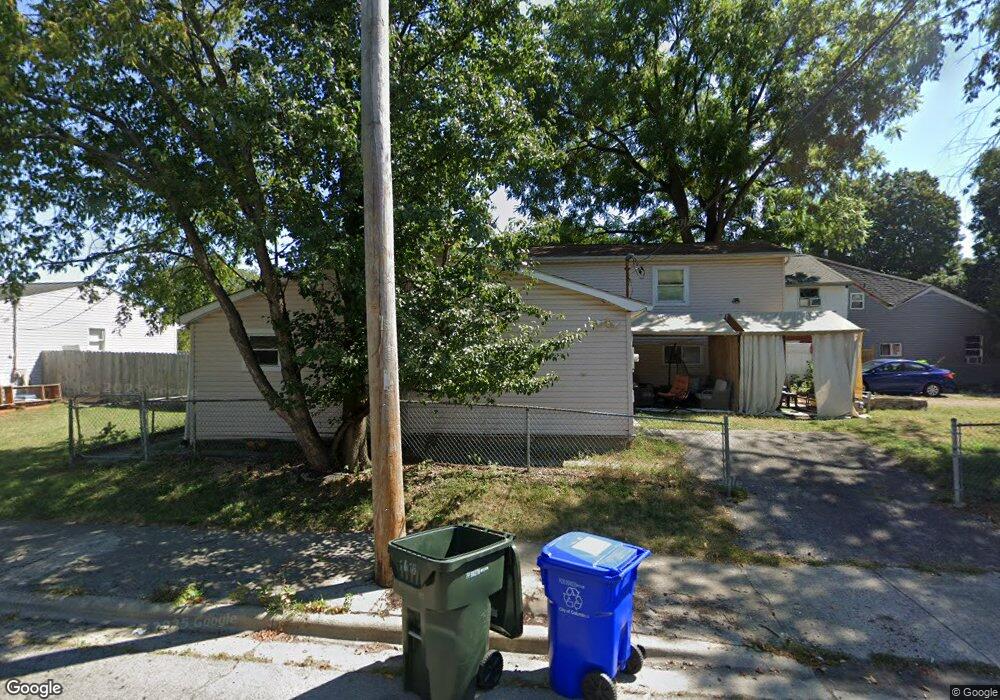
1016 Rumsey Rd Columbus, OH 43207
Obetz-Lockbourne NeighborhoodEstimated Value: $213,000 - $244,000
6
Beds
2
Baths
2,136
Sq Ft
$106/Sq Ft
Est. Value
About This Home
This home is located at 1016 Rumsey Rd, Columbus, OH 43207 and is currently estimated at $226,683, approximately $106 per square foot. 1016 Rumsey Rd is a home located in Franklin County with nearby schools including Parsons Elementary School, Buckeye Middle School, and Marion-Franklin High School.
Ownership History
Date
Name
Owned For
Owner Type
Purchase Details
Closed on
Apr 7, 2005
Sold by
The Bank Of New York
Bought by
Hesouk Eric A
Current Estimated Value
Purchase Details
Closed on
Nov 17, 2004
Sold by
Estate Of Angelo L Carmona
Bought by
The Bank Of New York
Purchase Details
Closed on
Dec 4, 1996
Sold by
Stanley Aurora T
Bought by
Carmono Aurora T Stanley and Carmono Angelo L
Home Financials for this Owner
Home Financials are based on the most recent Mortgage that was taken out on this home.
Original Mortgage
$63,750
Interest Rate
7.91%
Mortgage Type
New Conventional
Purchase Details
Closed on
Mar 8, 1988
Create a Home Valuation Report for This Property
The Home Valuation Report is an in-depth analysis detailing your home's value as well as a comparison with similar homes in the area
Home Values in the Area
Average Home Value in this Area
Purchase History
| Date | Buyer | Sale Price | Title Company |
|---|---|---|---|
| Hesouk Eric A | $50,000 | Chicago Tit | |
| The Bank Of New York | $55,000 | Chicago Tit | |
| Carmono Aurora T Stanley | $22,500 | -- | |
| -- | -- | -- |
Source: Public Records
Mortgage History
| Date | Status | Borrower | Loan Amount |
|---|---|---|---|
| Previous Owner | Carmono Aurora T Stanley | $63,750 |
Source: Public Records
Tax History Compared to Growth
Tax History
| Year | Tax Paid | Tax Assessment Tax Assessment Total Assessment is a certain percentage of the fair market value that is determined by local assessors to be the total taxable value of land and additions on the property. | Land | Improvement |
|---|---|---|---|---|
| 2024 | $2,971 | $64,820 | $15,820 | $49,000 |
| 2023 | $2,933 | $64,820 | $15,820 | $49,000 |
| 2022 | $1,555 | $29,270 | $8,720 | $20,550 |
| 2021 | $1,558 | $29,270 | $8,720 | $20,550 |
| 2020 | $1,561 | $29,270 | $8,720 | $20,550 |
| 2019 | $1,818 | $23,980 | $7,560 | $16,420 |
| 2018 | $1,635 | $23,980 | $7,560 | $16,420 |
| 2017 | $1,692 | $23,980 | $7,560 | $16,420 |
| 2016 | $1,843 | $27,130 | $3,680 | $23,450 |
| 2015 | $1,631 | $27,130 | $3,680 | $23,450 |
| 2014 | $1,635 | $27,130 | $3,680 | $23,450 |
| 2013 | $806 | $28,525 | $3,850 | $24,675 |
Source: Public Records
Map
Nearby Homes
- 780 Basswood Rd
- 3302 Hilock Place
- 884 Bruckner Rd
- 1124 Rumsey Rd
- 696 Williams Rd
- 0 Williams Rd
- 1085 Williams Rd
- 3573 S Champion Ave
- 1138 Hilock Rd Unit 35
- 1118 Maplewood Rd
- 1633-1635 E Greenway Ave
- 445 Basswood Rd
- 1068 Tobi Dr
- 3785 S Ohio Ave
- 3414 Parsons Ave
- 3380 Parsons Ave
- 3735 Christie Rd W
- 662 Bartfield Dr
- 3691 Ferman Rd
- 525 Ashwood Rd
- 1020 Rumsey Rd
- 865 Stockbridge Rd
- 1024 Rumsey Rd
- 3480 S Champion Ave
- 857 Stockbridge Rd
- 1028 Rumsey Rd
- 1019 Rumsey Rd
- 856 Rumsey Rd
- 1015 Rumsey Rd
- 1023 Rumsey Rd
- 845 Stockbridge Rd
- 820 Rumsey Rd
- 837 Stockbridge Rd
- 1038 Rumsey Rd
- 1031 Rumsey Rd
- 870 Stockbridge Rd
- 800 Rumsey Rd
- 1027 Rumsey Rd
- 825 Stockbridge Rd
- 0 Rumsey Rd