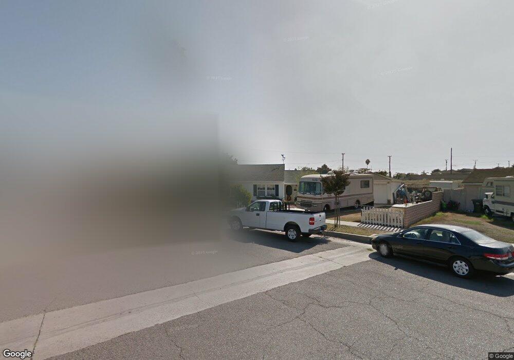
1016 W 209th St Torrance, CA 90502
West Carson NeighborhoodEstimated Value: $703,167 - $862,000
3
Beds
1
Bath
860
Sq Ft
$901/Sq Ft
Est. Value
About This Home
This home is located at 1016 W 209th St, Torrance, CA 90502 and is currently estimated at $774,542, approximately $900 per square foot. 1016 W 209th St is a home located in Los Angeles County with nearby schools including Van Deene Avenue Elementary School, Stephen M. White Middle School, and Nathaniel Narbonne Senior High School.
Ownership History
Date
Name
Owned For
Owner Type
Purchase Details
Closed on
Nov 20, 2007
Sold by
Fowler Franklin E and Fowler Maren J
Bought by
Fowler Franklin E
Current Estimated Value
Home Financials for this Owner
Home Financials are based on the most recent Mortgage that was taken out on this home.
Original Mortgage
$82,000
Interest Rate
6.36%
Mortgage Type
New Conventional
Purchase Details
Closed on
Sep 25, 2003
Sold by
Fowler Franklin and Fowler Maren
Bought by
Fowler Family Trust
Create a Home Valuation Report for This Property
The Home Valuation Report is an in-depth analysis detailing your home's value as well as a comparison with similar homes in the area
Home Values in the Area
Average Home Value in this Area
Purchase History
| Date | Buyer | Sale Price | Title Company |
|---|---|---|---|
| Fowler Franklin E | -- | American Coast Title | |
| Fowler Family Trust | -- | -- |
Source: Public Records
Mortgage History
| Date | Status | Borrower | Loan Amount |
|---|---|---|---|
| Previous Owner | Fowler Franklin E | $82,000 |
Source: Public Records
Tax History Compared to Growth
Tax History
| Year | Tax Paid | Tax Assessment Tax Assessment Total Assessment is a certain percentage of the fair market value that is determined by local assessors to be the total taxable value of land and additions on the property. | Land | Improvement |
|---|---|---|---|---|
| 2025 | $2,391 | $160,152 | $87,605 | $72,547 |
| 2024 | $2,391 | $157,013 | $85,888 | $71,125 |
| 2023 | $2,350 | $153,935 | $84,204 | $69,731 |
| 2022 | $2,246 | $150,917 | $82,553 | $68,364 |
| 2021 | $2,224 | $147,959 | $80,935 | $67,024 |
| 2019 | $2,156 | $143,573 | $78,536 | $65,037 |
| 2018 | $2,047 | $140,759 | $76,997 | $63,762 |
| 2016 | $1,947 | $135,295 | $74,008 | $61,287 |
| 2015 | $1,909 | $133,264 | $72,897 | $60,367 |
| 2014 | $1,908 | $130,655 | $71,470 | $59,185 |
Source: Public Records
Map
Nearby Homes
- 1107 W 210th St
- 20553 S Vermont Ave Unit 6
- 20545 S Vermont Ave Unit 2
- 20553 S Vermont Ave Unit 1
- 21141 Berendo Ave
- 20616 Budlong Ave
- 20710 Raymond Ave
- 20612 Kenwood Ave
- 20518 Raymond Ave
- 1291 Bonnet Way
- 1145 Milton St
- 22221 Vermont Ave
- 1106 W 204th St
- 20426 S Vermont Ave Unit 79
- 20813 Normandie Ave
- 20414 Kenwood Ave
- 21125 Normandie Ave
- 22302 Sage Ct
- 22303 Sage Ct
- 22325 Sage Ct
- 1012 W 209th St
- 1022 W 209th St
- 1006 W 209th St
- 20909 New Hampshire Ave
- 20903 New Hampshire Ave
- 1028 W 209th St
- 20913 New Hampshire Ave
- 20849 New Hampshire Ave
- 1002 W 209th St
- 1023 W 209th St
- 20919 New Hampshire Ave
- 20843 New Hampshire Ave
- 1034 W 209th St
- 1029 W 209th St
- 1003 Greenhedge St
- 20923 New Hampshire Ave
- 20839 New Hampshire Ave
- 1035 W 209th St
- 1038 W 209th St
- 1022 Greenhedge St