Estimated Value: $296,000 - $329,920
2
Beds
2
Baths
1,152
Sq Ft
$276/Sq Ft
Est. Value
About This Home
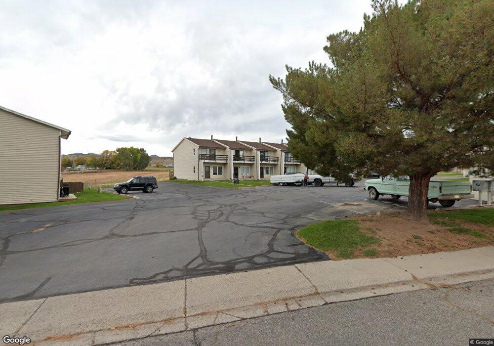
This home is located at 1016 Wamsley Way, Rifle, CO 81650 and is currently estimated at $317,980, approximately $276 per square foot. 1016 Wamsley Way is a home located in Garfield County with nearby schools including Graham Mesa Elementary School, Rifle Middle School, and Rifle High School.
Ownership History
Date
Name
Owned For
Owner Type
Purchase Details
Closed on
Feb 1, 2013
Sold by
Can Jose L Moo and Cruz Maria A
Bought by
Landcap Llc
Current Estimated Value
Purchase Details
Closed on
Feb 8, 2010
Sold by
Moo Can Jose L and Moocan Jose Luis
Bought by
Moo Can Jose L and Cruz Mari A
Purchase Details
Closed on
Jan 4, 2006
Sold by
Mobley Donald and Mobley Patricia A
Bought by
Moocan Jose Luis
Home Financials for this Owner
Home Financials are based on the most recent Mortgage that was taken out on this home.
Original Mortgage
$122,900
Interest Rate
6.5%
Mortgage Type
Fannie Mae Freddie Mac
Purchase Details
Closed on
Jan 9, 2003
Sold by
Johnnie Carolyn A
Bought by
Mobley Donald and Mobley Patricia A
Home Financials for this Owner
Home Financials are based on the most recent Mortgage that was taken out on this home.
Original Mortgage
$74,800
Interest Rate
6.06%
Mortgage Type
Purchase Money Mortgage
Create a Home Valuation Report for This Property
The Home Valuation Report is an in-depth analysis detailing your home's value as well as a comparison with similar homes in the area
Home Values in the Area
Average Home Value in this Area
Purchase History
| Date | Buyer | Sale Price | Title Company |
|---|---|---|---|
| Landcap Llc | $56,500 | Stewart Title | |
| Moo Can Jose L | -- | Accommodation | |
| Moocan Jose Luis | $122,900 | Stewart Title | |
| Mobley Donald | $93,500 | Independence Title |
Source: Public Records
Mortgage History
| Date | Status | Borrower | Loan Amount |
|---|---|---|---|
| Previous Owner | Moocan Jose Luis | $122,900 | |
| Previous Owner | Mobley Donald | $74,800 |
Source: Public Records
Tax History Compared to Growth
Tax History
| Year | Tax Paid | Tax Assessment Tax Assessment Total Assessment is a certain percentage of the fair market value that is determined by local assessors to be the total taxable value of land and additions on the property. | Land | Improvement |
|---|---|---|---|---|
| 2024 | $851 | $11,160 | $1,110 | $10,050 |
| 2023 | $851 | $11,160 | $1,110 | $10,050 |
| 2022 | $763 | $10,660 | $1,110 | $9,550 |
| 2021 | $876 | $10,960 | $1,140 | $9,820 |
| 2020 | $742 | $10,140 | $1,000 | $9,140 |
| 2019 | $702 | $10,140 | $1,000 | $9,140 |
| 2018 | $557 | $7,870 | $1,010 | $6,860 |
| 2017 | $504 | $7,870 | $1,010 | $6,860 |
| 2016 | $366 | $6,470 | $800 | $5,670 |
| 2015 | $338 | $6,470 | $800 | $5,670 |
| 2014 | $148 | $2,820 | $440 | $2,380 |
Source: Public Records
Map
Nearby Homes
- 1008 Wamsley Way
- 990 Wamsley Way
- 1110 Arnold Ct
- 580 Will Ave
- 500 Fairway Ave
- 342 Elm Ave
- TBD Stillwell Ave
- 663 Park Ave
- 335 Hutton Ave
- 1617 W 7th St
- 336 Will Ave
- 531 Park Ave
- 751 Park Ave
- 381 W 5th St Unit 2
- 1016 Stillwell Ave
- 758 Railroad Ave
- 629 Whiteriver Ave
- 108 Ray Ave
- 1012 East Ave Unit 2
- 440 Whiteriver Ave
- 1018 Wamsley Way
- 1014 Wamsley Way
- 1020 Wamsley Way
- 1012 Wamsley Way
- 1006 Wamsley Way
- 636 Shadow Ln
- 1004 Wamsley Way
- 644 Shadow Ln
- 628 Shadow Ln
- 620 Shadow Ln
- 612 Shadow Ln
- 946 Wamsley Way
- 934 Wamsley Way
- 998 Wamsley Way
- 1002 Wamsley Way
- 996 Wamsley Way
- 994 Wamsley Way
- 992 Wamsley Way
- 1015 Wamsley Way
- 599 Wamsley Way