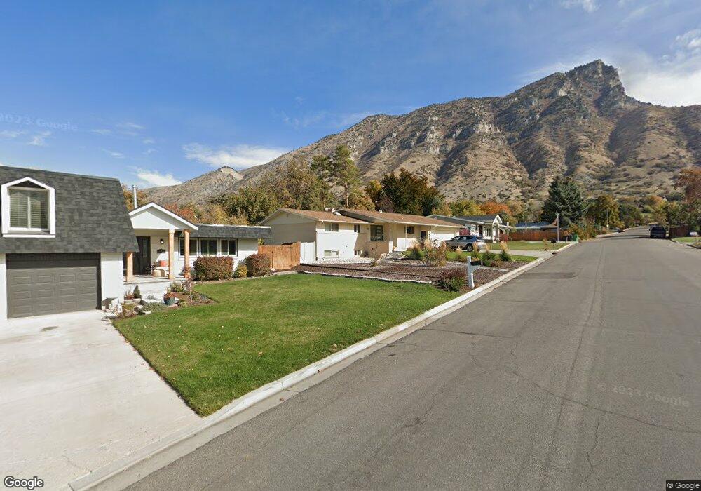
1017 E 2680 N Provo, UT 84604
Rock Canyon NeighborhoodEstimated Value: $734,253 - $800,000
5
Beds
3
Baths
1,509
Sq Ft
$501/Sq Ft
Est. Value
About This Home
This home is located at 1017 E 2680 N, Provo, UT 84604 and is currently estimated at $756,418, approximately $501 per square foot. 1017 E 2680 N is a home located in Utah County with nearby schools including Rock Canyon Elementary School, Centennial Middle School, and Timpview High School.
Ownership History
Date
Name
Owned For
Owner Type
Purchase Details
Closed on
Mar 17, 2021
Sold by
Timp Rentals Lc
Bought by
Smith Stan and Smith Emily Knelli
Current Estimated Value
Home Financials for this Owner
Home Financials are based on the most recent Mortgage that was taken out on this home.
Original Mortgage
$489,250
Outstanding Balance
$438,578
Interest Rate
2.7%
Mortgage Type
New Conventional
Estimated Equity
$317,840
Purchase Details
Closed on
Jan 22, 2021
Sold by
Sandberg Barbara J
Bought by
Timp Rentals Lc
Home Financials for this Owner
Home Financials are based on the most recent Mortgage that was taken out on this home.
Original Mortgage
$489,250
Outstanding Balance
$438,578
Interest Rate
2.7%
Mortgage Type
New Conventional
Estimated Equity
$317,840
Purchase Details
Closed on
Jan 2, 2009
Sold by
Pletsch Sarah J
Bought by
Sandberg Barbara J
Purchase Details
Closed on
Aug 9, 2005
Sold by
Sandberg Barbara J
Bought by
Sandberg Barbara J and Pletsch Sarah J
Create a Home Valuation Report for This Property
The Home Valuation Report is an in-depth analysis detailing your home's value as well as a comparison with similar homes in the area
Home Values in the Area
Average Home Value in this Area
Purchase History
| Date | Buyer | Sale Price | Title Company |
|---|---|---|---|
| Smith Stan | -- | Cottonwood Title | |
| Timp Rentals Lc | -- | None Available | |
| Sandberg Barbara J | -- | Old Republic Title Company | |
| Sandberg Barbara J | -- | -- |
Source: Public Records
Mortgage History
| Date | Status | Borrower | Loan Amount |
|---|---|---|---|
| Open | Smith Stan | $489,250 |
Source: Public Records
Tax History
| Year | Tax Paid | Tax Assessment Tax Assessment Total Assessment is a certain percentage of the fair market value that is determined by local assessors to be the total taxable value of land and additions on the property. | Land | Improvement |
|---|---|---|---|---|
| 2025 | $3,459 | $371,030 | -- | -- |
| 2024 | $3,459 | $340,450 | $0 | $0 |
| 2023 | $3,274 | $317,735 | $0 | $0 |
| 2022 | $3,315 | $324,335 | $0 | $0 |
| 2021 | $2,305 | $393,400 | $189,900 | $203,500 |
| 2020 | $2,197 | $351,400 | $151,900 | $199,500 |
| 2019 | $2,112 | $351,400 | $151,900 | $199,500 |
| 2018 | $1,886 | $318,200 | $144,700 | $173,500 |
| 2017 | $1,680 | $155,815 | $0 | $0 |
| 2016 | $1,700 | $146,905 | $0 | $0 |
| 2015 | $1,541 | $134,585 | $0 | $0 |
| 2014 | $1,320 | $120,230 | $0 | $0 |
Source: Public Records
Map
Nearby Homes
Your Personal Tour Guide
Ask me questions while you tour the home.