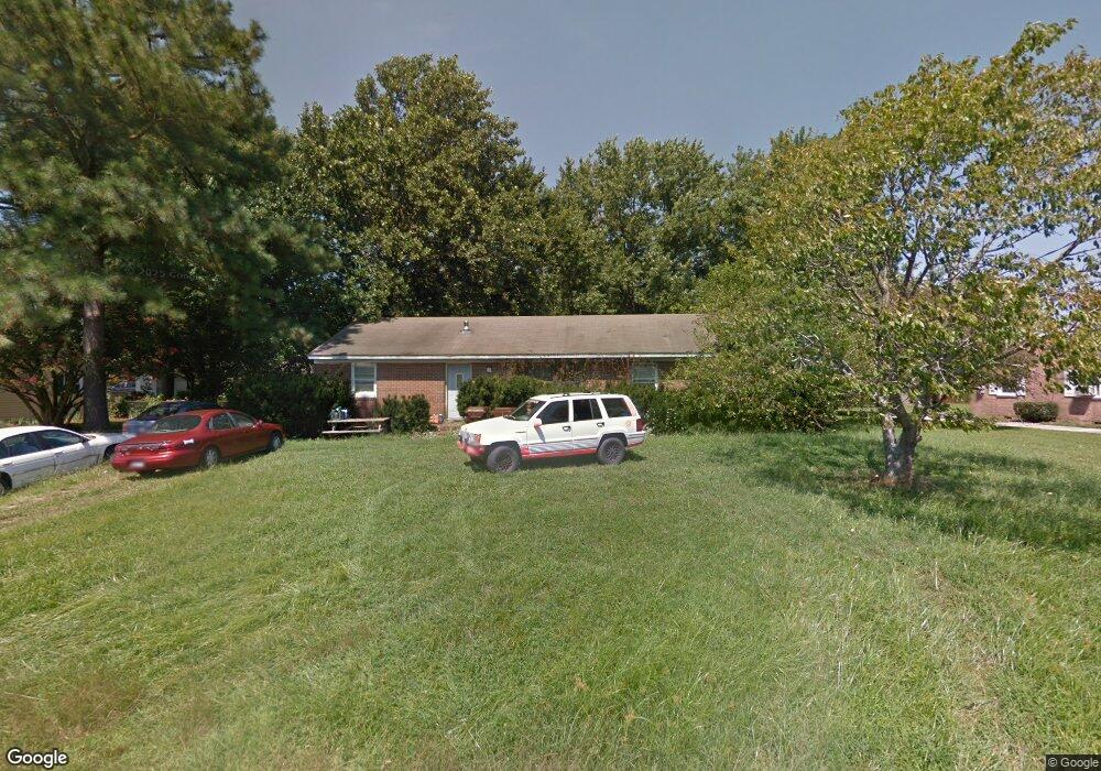
1017 Sherwood Cir Salisbury, MD 21804
North Salisbury NeighborhoodEstimated Value: $216,435 - $282,000
--
Bed
2
Baths
1,456
Sq Ft
$179/Sq Ft
Est. Value
About This Home
This home is located at 1017 Sherwood Cir, Salisbury, MD 21804 and is currently estimated at $261,109, approximately $179 per square foot. 1017 Sherwood Cir is a home located in Wicomico County with nearby schools including Beaver Run Elementary School, East Salisbury Elementary School, and Wicomico Middle School.
Ownership History
Date
Name
Owned For
Owner Type
Purchase Details
Closed on
Aug 24, 2006
Sold by
Price Clarence F
Bought by
Price Agatha J and Cornine Theresa L
Current Estimated Value
Purchase Details
Closed on
Aug 18, 2006
Sold by
Price Clarence F
Bought by
Price Agatha J and Cornine Theresa L
Purchase Details
Closed on
May 15, 1995
Sold by
Burns Robert E and Burns Oleta D
Bought by
Price Clarence F and Price Agatha J
Purchase Details
Closed on
Dec 16, 1988
Sold by
Span Jeffrey P
Bought by
Burns Robert E and Burns Oleta D
Home Financials for this Owner
Home Financials are based on the most recent Mortgage that was taken out on this home.
Original Mortgage
$79,500
Interest Rate
10.71%
Create a Home Valuation Report for This Property
The Home Valuation Report is an in-depth analysis detailing your home's value as well as a comparison with similar homes in the area
Home Values in the Area
Average Home Value in this Area
Purchase History
| Date | Buyer | Sale Price | Title Company |
|---|---|---|---|
| Price Agatha J | -- | -- | |
| Price Agatha J | -- | -- | |
| Price Clarence F | $79,116 | -- | |
| Burns Robert E | $79,500 | -- |
Source: Public Records
Mortgage History
| Date | Status | Borrower | Loan Amount |
|---|---|---|---|
| Previous Owner | Burns Robert E | $79,500 | |
| Closed | Price Clarence F | -- |
Source: Public Records
Tax History Compared to Growth
Tax History
| Year | Tax Paid | Tax Assessment Tax Assessment Total Assessment is a certain percentage of the fair market value that is determined by local assessors to be the total taxable value of land and additions on the property. | Land | Improvement |
|---|---|---|---|---|
| 2025 | $1,540 | $166,400 | $27,500 | $138,900 |
| 2024 | $1,540 | $154,367 | $0 | $0 |
| 2023 | $1,420 | $142,333 | $0 | $0 |
| 2022 | $1,388 | $130,300 | $27,500 | $102,800 |
| 2021 | $1,377 | $129,000 | $0 | $0 |
| 2020 | $1,377 | $127,700 | $0 | $0 |
| 2019 | $1,383 | $126,400 | $27,500 | $98,900 |
| 2018 | $1,389 | $126,400 | $27,500 | $98,900 |
| 2017 | $1,389 | $126,400 | $0 | $0 |
| 2016 | -- | $128,500 | $0 | $0 |
| 2015 | $1,139 | $128,000 | $0 | $0 |
| 2014 | $1,139 | $127,500 | $0 | $0 |
Source: Public Records
Map
Nearby Homes
- 1002 Sherwood Cir
- 707 W Morris Leonard Rd
- 803 Lyndhurst Ln
- 6957 Amber Fields Ct
- 504 Parker Rd Unit 1
- 506 Barnsdale Dr
- 911 Outten Rd
- 529 Birchwood Dr
- 218 Potomac Ave
- 215 Potomac Ave
- 403 Woodcrest Ave
- 30575 Zion Rd
- 421 Stream Valley Ct
- 30446 Zion Rd
- 30483 Bennett Rd
- 30536 Bennett Rd
- 2712 Merritt Mill Rd
- 31011 Old Ocean City Rd
- 112 Roseberry Ave
- 6844 Coleman Ave
- 1015 Sherwood Cir
- 605 Nottingham Dr
- 1019 Sherwood Cir
- 607 Nottingham Dr
- 1013 Sherwood Cir
- 1014 Sherwood Cir
- 1018 Sherwood Cir
- 1016 Sherwood Cir
- 600 Sherwood Cir
- 1020 Sherwood Cir
- 609 Nottingham Dr
- 604 Nottingham Dr
- 1012 Sherwood Cir
- 606 Nottingham Dr
- 1009 Sherwood Cir
- 602 Nottingham Dr
- 602 Sherwood Cir
- 501 Archer Place
- 608 Nottingham Dr
- 7001 Amber Fields Ct