1017 Tyson Rd Eagle River, WI 54521
Estimated Value: $349,000 - $1,789,254
Studio
--
Bath
--
Sq Ft
143,312
Sq Ft Lot
About This Home
This home is located at 1017 Tyson Rd, Eagle River, WI 54521 and is currently estimated at $1,025,814. 1017 Tyson Rd is a home located in Vilas County with nearby schools including Northland Pines High School and Christ Lutheran School.
Ownership History
Date
Name
Owned For
Owner Type
Purchase Details
Closed on
Feb 20, 2021
Sold by
Dominick Development Llc
Bought by
Lowell Scott K and Joint Melissa
Current Estimated Value
Purchase Details
Closed on
Sep 25, 2019
Sold by
Heyer 2 Llc
Bought by
Dominick Development Llc
Home Financials for this Owner
Home Financials are based on the most recent Mortgage that was taken out on this home.
Original Mortgage
$545,000
Interest Rate
3.4%
Mortgage Type
Commercial
Purchase Details
Closed on
Apr 15, 2013
Sold by
Heyer Charles T and Martin Stephanie
Bought by
Heyer 2 Llc
Create a Home Valuation Report for This Property
The Home Valuation Report is an in-depth analysis detailing your home's value as well as a comparison with similar homes in the area
Home Values in the Area
Average Home Value in this Area
Purchase History
| Date | Buyer | Sale Price | Title Company |
|---|---|---|---|
| Lowell Scott K | $1,340,000 | Vilas Title Service Inc | |
| Dominick Development Llc | $667,500 | None Available | |
| Heyer 2 Llc | -- | None Available |
Source: Public Records
Mortgage History
| Date | Status | Borrower | Loan Amount |
|---|---|---|---|
| Previous Owner | Dominick Development Llc | $545,000 |
Source: Public Records
Tax History
| Year | Tax Paid | Tax Assessment Tax Assessment Total Assessment is a certain percentage of the fair market value that is determined by local assessors to be the total taxable value of land and additions on the property. | Land | Improvement |
|---|---|---|---|---|
| 2025 | $10,833 | $1,808,800 | $615,100 | $1,193,700 |
| 2024 | $9,906 | $1,769,600 | $615,100 | $1,154,500 |
| 2023 | $10,905 | $1,769,600 | $615,100 | $1,154,500 |
| 2022 | $6,136 | $668,200 | $321,300 | $346,900 |
| 2021 | $5,952 | $668,200 | $321,300 | $346,900 |
| 2020 | $5,706 | $637,900 | $321,300 | $316,600 |
| 2019 | $5,742 | $637,900 | $321,300 | $316,600 |
| 2018 | $5,525 | $637,900 | $321,300 | $316,600 |
| 2017 | $5,145 | $606,400 | $321,300 | $285,100 |
| 2016 | $5,272 | $606,400 | $321,300 | $285,100 |
| 2015 | $5,173 | $611,300 | $321,300 | $290,000 |
| 2014 | $5,047 | $611,300 | $321,300 | $290,000 |
| 2013 | $4,825 | $578,000 | $353,300 | $224,700 |
Source: Public Records
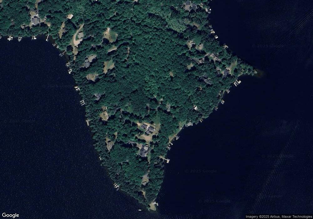
Map
Nearby Homes
- Off Fawn Ridge Ln Unit 11
- 4252 Spruce Ln
- 681 Springview Dr
- 1354 Dollar Lake Rd
- 4288 Spruce Ln
- 669 Springview Dr
- 1645 Golf View Rd
- Off Eagle Waters Rd Unit 6 & 7
- Off Eagle Waters Rd Unit 4 & 5
- 1688 Anthony Dr
- 1664 Anthony Dr
- 1401 Cedar Dr
- 1348 Capich Dr
- 1717 Summer Dr Unit 1
- 1717C Summers Dr Unit Building 1
- Off Norway Pine Dr Unit 13 & 14
- 1532 Sandstone Cr
- 3939 Eagle Waters Rd Unit 2
- 47 Eagle Waters Rd
- 1177 Eagle Wings Ln
Your Personal Tour Guide
Ask me questions while you tour the home.