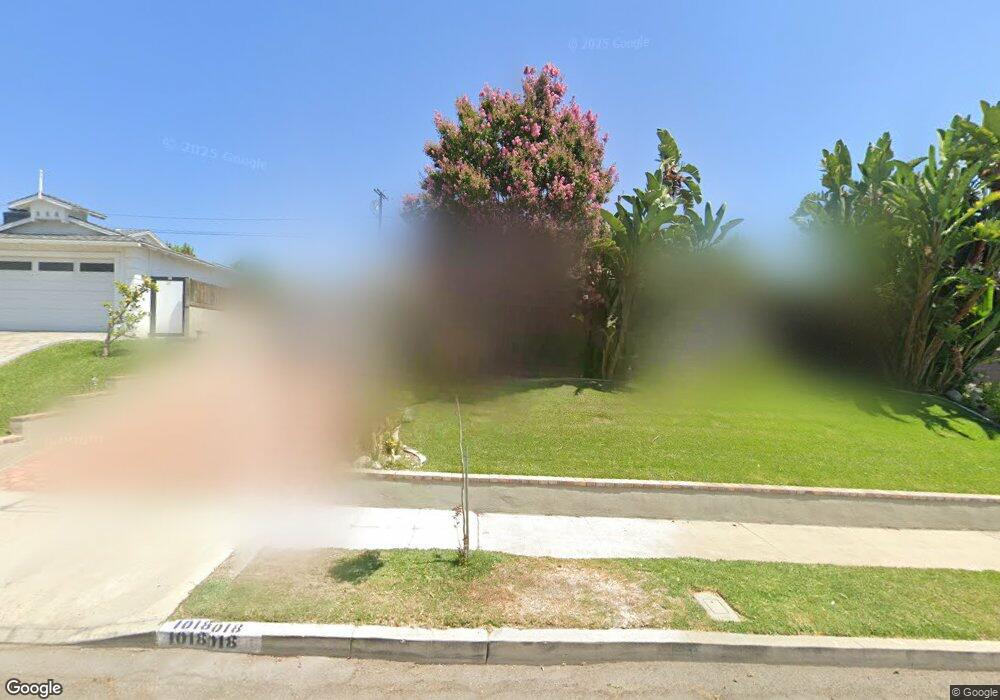
1018 Cornell Dr Burbank, CA 91504
Hillside District NeighborhoodEstimated Value: $1,575,208 - $2,160,000
3
Beds
3
Baths
2,053
Sq Ft
$889/Sq Ft
Est. Value
About This Home
This home is located at 1018 Cornell Dr, Burbank, CA 91504 and is currently estimated at $1,825,802, approximately $889 per square foot. 1018 Cornell Dr is a home located in Los Angeles County with nearby schools including Ralph Emerson Elementary School, John Muir Middle School, and Burbank High School.
Ownership History
Date
Name
Owned For
Owner Type
Purchase Details
Closed on
Aug 6, 2020
Sold by
Voytko Timothy J and Voytko Veronica S
Bought by
Voytko Timothy J and Voytko Veronica S
Current Estimated Value
Home Financials for this Owner
Home Financials are based on the most recent Mortgage that was taken out on this home.
Original Mortgage
$497,000
Outstanding Balance
$440,052
Interest Rate
2.9%
Mortgage Type
New Conventional
Estimated Equity
$1,385,750
Purchase Details
Closed on
Mar 15, 1994
Sold by
Buntrock John H
Bought by
Voytko Timothy and Voytko Veronica
Home Financials for this Owner
Home Financials are based on the most recent Mortgage that was taken out on this home.
Original Mortgage
$232,000
Interest Rate
4.87%
Create a Home Valuation Report for This Property
The Home Valuation Report is an in-depth analysis detailing your home's value as well as a comparison with similar homes in the area
Home Values in the Area
Average Home Value in this Area
Purchase History
| Date | Buyer | Sale Price | Title Company |
|---|---|---|---|
| Voytko Timothy J | -- | Priority Title Company | |
| Voytko Timothy | $290,000 | Southland Title |
Source: Public Records
Mortgage History
| Date | Status | Borrower | Loan Amount |
|---|---|---|---|
| Open | Voytko Timothy J | $497,000 | |
| Previous Owner | Voytko Timothy | $232,000 |
Source: Public Records
Tax History Compared to Growth
Tax History
| Year | Tax Paid | Tax Assessment Tax Assessment Total Assessment is a certain percentage of the fair market value that is determined by local assessors to be the total taxable value of land and additions on the property. | Land | Improvement |
|---|---|---|---|---|
| 2025 | $6,270 | $552,935 | $320,551 | $232,384 |
| 2024 | $6,270 | $542,094 | $314,266 | $227,828 |
| 2023 | $6,206 | $531,465 | $308,104 | $223,361 |
| 2022 | $5,929 | $521,045 | $302,063 | $218,982 |
| 2021 | $5,899 | $510,830 | $296,141 | $214,689 |
| 2019 | $5,664 | $495,680 | $287,358 | $208,322 |
| 2018 | $5,539 | $485,962 | $281,724 | $204,238 |
| 2016 | $5,249 | $467,093 | $270,785 | $196,308 |
| 2015 | $5,144 | $460,078 | $266,718 | $193,360 |
| 2014 | $5,135 | $451,067 | $261,494 | $189,573 |
Source: Public Records
Map
Nearby Homes
- 710 E Walnut Ave
- 0 Churchs Ct
- 1025 E San Jose Ave
- 648 Uclan Dr
- 531 Tufts Ave
- 620 N 6th St Unit 106
- 606 E Cypress Ave
- 441 University Ave
- 418 Delaware Rd
- 645 E Magnolia Blvd Unit C
- 217 N Bel Aire Dr
- 565 E San Jose Ave Unit 204
- 554 E San Jose Ave Unit 203
- 0 Country Club Dr Unit SB24168055
- 906 Groton Dr
- 101 N Kenneth Rd
- 230 Bethany Rd Unit 117
- 701 Country Club Dr
- 227 E Burbank Blvd Unit C
- 227 E Burbank Blvd Unit E
- 1024 Cornell Dr
- 1012 Cornell Dr
- 1019 Delaware Rd
- 1006 Cornell Dr
- 1013 Delaware Rd
- 1025 Delaware Rd
- 1030 Cornell Dr
- 1019 Cornell Dr
- 1031 Delaware Rd
- 1011 Delaware Rd
- 1013 Cornell Dr
- 1025 Cornell Dr
- 1120 N Bel Aire Dr
- 1007 Cornell Dr
- 1037 Delaware Rd
- 1100 N Bel Aire Dr
- 1001 Cornell Dr
- 1033 Cornell Dr
- 1018 Bethany Rd
- 1012 Bethany Rd