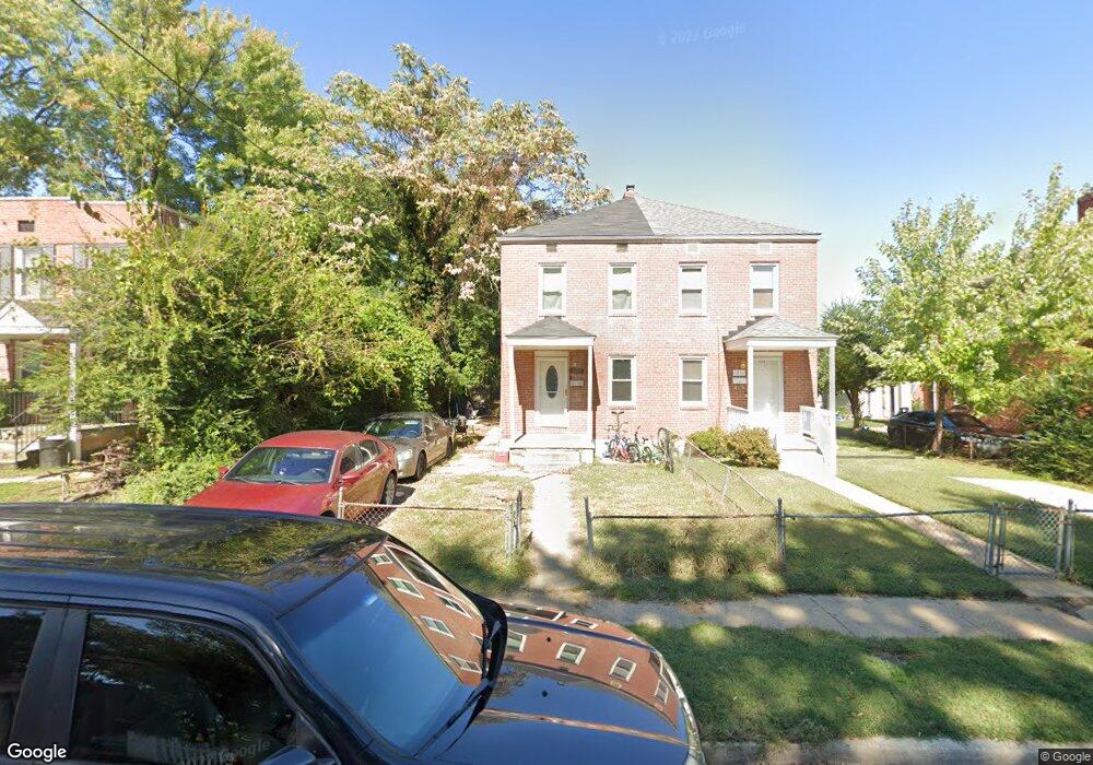
1018 Monroe St Annapolis, MD 21403
Eastport NeighborhoodEstimated Value: $183,000 - $281,000
--
Bed
1
Bath
900
Sq Ft
$265/Sq Ft
Est. Value
About This Home
This home is located at 1018 Monroe St, Annapolis, MD 21403 and is currently estimated at $238,466, approximately $264 per square foot. 1018 Monroe St is a home located in Anne Arundel County with nearby schools including Eastport Elementary School, Annapolis Middle School, and Annapolis High School.
Ownership History
Date
Name
Owned For
Owner Type
Purchase Details
Closed on
Jul 23, 2002
Sold by
Homes For America Inc
Bought by
Colbert Tarell O
Current Estimated Value
Purchase Details
Closed on
Oct 5, 2001
Sold by
Household Finance Corp Iii
Bought by
Homes For America Inc
Purchase Details
Closed on
Jan 18, 2001
Sold by
Logan Emma B
Bought by
Household Finance Corp Iii
Create a Home Valuation Report for This Property
The Home Valuation Report is an in-depth analysis detailing your home's value as well as a comparison with similar homes in the area
Home Values in the Area
Average Home Value in this Area
Purchase History
| Date | Buyer | Sale Price | Title Company |
|---|---|---|---|
| Colbert Tarell O | $85,000 | -- | |
| Homes For America Inc | $45,000 | -- | |
| Household Finance Corp Iii | $45,000 | -- |
Source: Public Records
Mortgage History
| Date | Status | Borrower | Loan Amount |
|---|---|---|---|
| Closed | Homes For America Inc | -- |
Source: Public Records
Tax History Compared to Growth
Tax History
| Year | Tax Paid | Tax Assessment Tax Assessment Total Assessment is a certain percentage of the fair market value that is determined by local assessors to be the total taxable value of land and additions on the property. | Land | Improvement |
|---|---|---|---|---|
| 2025 | $2,378 | $169,633 | -- | -- |
| 2024 | $2,378 | $165,467 | $0 | $0 |
| 2023 | $2,316 | $161,300 | $75,000 | $86,300 |
| 2022 | $2,273 | $161,300 | $75,000 | $86,300 |
| 2021 | $2,315 | $161,300 | $75,000 | $86,300 |
| 2020 | $2,315 | $164,200 | $75,000 | $89,200 |
| 2019 | $2,241 | $158,833 | $0 | $0 |
| 2018 | $2,135 | $153,467 | $0 | $0 |
| 2017 | $1,933 | $148,100 | $0 | $0 |
| 2016 | -- | $136,600 | $0 | $0 |
| 2015 | -- | $125,100 | $0 | $0 |
| 2014 | -- | $113,600 | $0 | $0 |
Source: Public Records
Map
Nearby Homes
- 934 Bay Ridge Ave Unit 308
- 1007 Park Ave
- 412 Jefferson St
- 10 Sailors Way
- 13 Elliott Rd
- 1002 Tyler Ave
- 8 Spa Creek Landing Unit B1 A1
- 1004 Primrose Rd
- 14 Spa Creek Landing Unit B1
- 794 Fairview Ave Unit 794 C
- 755 Fairview Ave Unit 755 D
- 399 Hilltop Ln
- 316 Burnside St Unit 101
- 289 State St Unit 4
- 1071 Cedar Ridge Ct
- 287 State St Unit 3
- 703 Glendon Ave
- 0 Lt 115 703 Glendon Ave
- 301 Burnside St Unit C 202
- 742 Warren Dr
- 1016 Monroe St
- 1020 Monroe St
- 1022 Monroe St
- 1014 Monroe St
- 1012 Monroe St
- 1019 President St
- 1017 President St
- 1010 Monroe St
- 1011 Monroe St
- 1013 Monroe St
- 1023 Madison Ct
- 1015 President St
- 1021 Madison Ct
- 1008 Monroe St
- 1013 President St
- 1007 Monroe St
- 1015 Monroe St
- 1019 Madison Ct
- 1025 Madison Ct
- 1011 President St