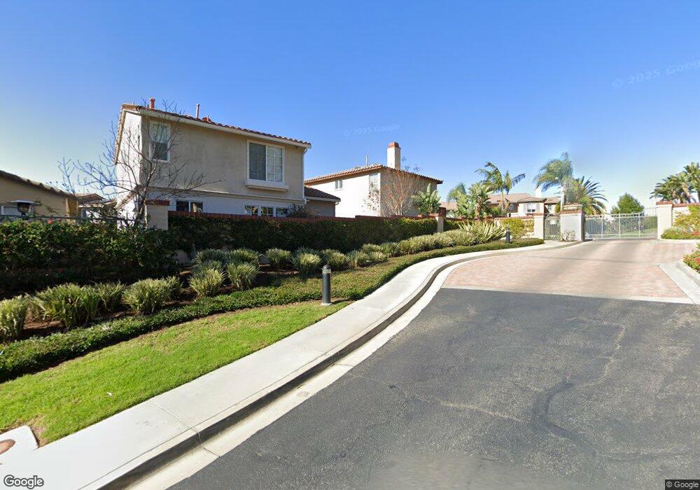
10189 Boyd Dr Tustin, CA 92782
Tustin Ranch NeighborhoodEstimated Value: $1,080,063 - $1,424,000
2
Beds
3
Baths
1,510
Sq Ft
$830/Sq Ft
Est. Value
About This Home
This home is located at 10189 Boyd Dr, Tustin, CA 92782 and is currently estimated at $1,253,266, approximately $829 per square foot. 10189 Boyd Dr is a home located in Orange County with nearby schools including Peters Canyon Elementary School, Pioneer Middle School, and Arnold O. Beckman High School.
Ownership History
Date
Name
Owned For
Owner Type
Purchase Details
Closed on
Nov 26, 2019
Sold by
Frank Richard
Bought by
Frank Regina and Frank Richard
Current Estimated Value
Home Financials for this Owner
Home Financials are based on the most recent Mortgage that was taken out on this home.
Original Mortgage
$289,560
Outstanding Balance
$256,035
Interest Rate
3.75%
Mortgage Type
New Conventional
Estimated Equity
$997,231
Purchase Details
Closed on
Dec 8, 1997
Sold by
Catellus Residential Tustin Ii Llc
Bought by
Frank Richard and Frank Regina M
Home Financials for this Owner
Home Financials are based on the most recent Mortgage that was taken out on this home.
Original Mortgage
$178,650
Interest Rate
7.62%
Create a Home Valuation Report for This Property
The Home Valuation Report is an in-depth analysis detailing your home's value as well as a comparison with similar homes in the area
Home Values in the Area
Average Home Value in this Area
Purchase History
| Date | Buyer | Sale Price | Title Company |
|---|---|---|---|
| Frank Regina | -- | Servicelink | |
| Frank Richard | $198,527 | First American Title Ins Co |
Source: Public Records
Mortgage History
| Date | Status | Borrower | Loan Amount |
|---|---|---|---|
| Open | Frank Regina | $289,560 | |
| Closed | Frank Richard | $178,650 |
Source: Public Records
Tax History
| Year | Tax Paid | Tax Assessment Tax Assessment Total Assessment is a certain percentage of the fair market value that is determined by local assessors to be the total taxable value of land and additions on the property. | Land | Improvement |
|---|---|---|---|---|
| 2025 | $3,254 | $316,943 | $87,169 | $229,774 |
| 2024 | $3,254 | $310,729 | $85,460 | $225,269 |
| 2023 | $3,178 | $304,637 | $83,785 | $220,852 |
| 2022 | $4,082 | $298,664 | $82,142 | $216,522 |
| 2021 | $3,986 | $292,808 | $80,531 | $212,277 |
| 2020 | $3,982 | $289,806 | $79,705 | $210,101 |
| 2019 | $3,908 | $284,124 | $78,142 | $205,982 |
| 2018 | $3,813 | $278,553 | $76,609 | $201,944 |
| 2017 | $3,672 | $273,092 | $75,107 | $197,985 |
| 2016 | $3,611 | $267,738 | $73,635 | $194,103 |
| 2015 | $3,585 | $263,717 | $72,529 | $191,188 |
| 2014 | $3,579 | $258,552 | $71,109 | $187,443 |
Source: Public Records
Map
Nearby Homes
- 10181 Overhill Dr
- 10162 La Sierra Place
- 10412 Boca Canyon Dr
- 10182 Cowan Heights Dr
- 1711 Sirrine Dr
- 2508 Platt Place
- 10062 Rangeview Dr
- 9821 Brentwood Dr
- 66 Poncho
- 1461 Longmont Place
- 10442 Brightwood Dr
- 10222 Deerhill Dr
- 2737 Dietrich Dr
- 10471 Brightwood Dr
- 2503 Newman Ave
- 10461 Shadyridge Dr
- 100 Boulder Pass
- 212 Clear Falls
- 63 Longchamp
- 59 Longchamp
- 10181 Boyd Dr
- 10197 Boyd Dr
- 10180 Marchant Ave
- 10188 Marchant Ave
- 10172 Marchant Ave
- 10205 Boyd Dr
- 10175 Boyd Dr
- 10164 Marchant Ave
- 10196 Marchant Ave
- 10188 Ferrey Dr
- 10210 Boyd Dr
- 10196 Ferrey Dr
- 10173 Marchant Ave
- 10218 Boyd Dr
- 10165 Marchant Ave
- 10189 Marchant Ave
- 10181 Marchant Ave
- 10229 Boyd Dr
- 10204 Ferrey Dr
- 10225 Ferrey Dr
Your Personal Tour Guide
Ask me questions while you tour the home.