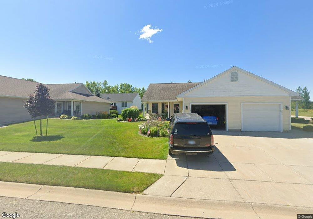
1019 Randy Ln Unit 33 Saint Johns, MI 48879
Estimated Value: $239,880 - $274,000
2
Beds
1
Bath
1,065
Sq Ft
$246/Sq Ft
Est. Value
About This Home
This home is located at 1019 Randy Ln Unit 33, Saint Johns, MI 48879 and is currently estimated at $261,970, approximately $245 per square foot. 1019 Randy Ln Unit 33 is a home located in Clinton County with nearby schools including St. Johns High School and St Joseph Catholic School.
Ownership History
Date
Name
Owned For
Owner Type
Purchase Details
Closed on
Aug 11, 2008
Sold by
Fred Motz Builders Inc
Bought by
Baker Gaynor L
Current Estimated Value
Home Financials for this Owner
Home Financials are based on the most recent Mortgage that was taken out on this home.
Original Mortgage
$146,370
Outstanding Balance
$96,349
Interest Rate
6.39%
Mortgage Type
Purchase Money Mortgage
Estimated Equity
$165,621
Create a Home Valuation Report for This Property
The Home Valuation Report is an in-depth analysis detailing your home's value as well as a comparison with similar homes in the area
Home Values in the Area
Average Home Value in this Area
Purchase History
| Date | Buyer | Sale Price | Title Company |
|---|---|---|---|
| Baker Gaynor L | $143,500 | First American Title Ins Co |
Source: Public Records
Mortgage History
| Date | Status | Borrower | Loan Amount |
|---|---|---|---|
| Open | Baker Gaynor L | $146,370 |
Source: Public Records
Tax History
| Year | Tax Paid | Tax Assessment Tax Assessment Total Assessment is a certain percentage of the fair market value that is determined by local assessors to be the total taxable value of land and additions on the property. | Land | Improvement |
|---|---|---|---|---|
| 2025 | $2,907 | $106,700 | $17,500 | $89,200 |
| 2024 | $20 | $102,700 | $15,000 | $87,700 |
| 2023 | $1,889 | $97,900 | $0 | $0 |
| 2022 | $2,616 | $82,100 | $15,000 | $67,100 |
| 2021 | $2,551 | $75,600 | $12,500 | $63,100 |
| 2020 | $2,464 | $72,900 | $12,500 | $60,400 |
| 2019 | $2,388 | $68,500 | $12,500 | $56,000 |
| 2018 | $2,231 | $67,200 | $12,500 | $54,700 |
| 2017 | -- | $68,200 | $12,500 | $55,700 |
| 2016 | $2,335 | $64,900 | $12,500 | $52,400 |
| 2015 | -- | $57,400 | $0 | $0 |
| 2011 | -- | $64,400 | $0 | $0 |
Source: Public Records
Map
Nearby Homes
- 1021 Randy Ln Unit 34
- 810 Joyce Ln
- 808 Joyce Ln
- 912 Randy Ln Unit 6
- 705 N Us127
- 719 N Clinton Ave
- 308 N Swegles St
- 107 W Steel St
- 111 W Steel St
- 1110 Lois Ln
- 100 N Oakland St
- 308 E State St
- 1455 W Hyde Rd
- 1103 Kelcrasta Dr
- 509 W Gibbs St
- 300 N Kibbee St
- 606 W Gibbs St
- 608 N Morton St
- 609 N Morton St Unit 13
- 609 N Morton St Unit 80
- 1017 Randy Ln Unit 32
- 916 Joyce Ln
- 914 Joyce Ln
- 912 Joyce Ln
- 1011 Randy Ln Unit 29
- 918 Joyce Ln
- 1013 Randy Ln Unit 30
- 1018 Randy Ln Unit 20
- 1022 Randy Ln Unit 22
- 1016 Randy Ln Unit 19
- 1009 Randy Ln Unit 28
- 1014 Randy Ln Unit 18
- 1012 Randy Ln Unit 17
- 1007 Randy Ln Unit 27
- 1010 Randy Ln
- 1037 Bills Ln
- 1037 Bills Ln
- 1035 Bills Ln
- 926 Joyce Ln Unit 35
- 1008 Randy Ln
Your Personal Tour Guide
Ask me questions while you tour the home.