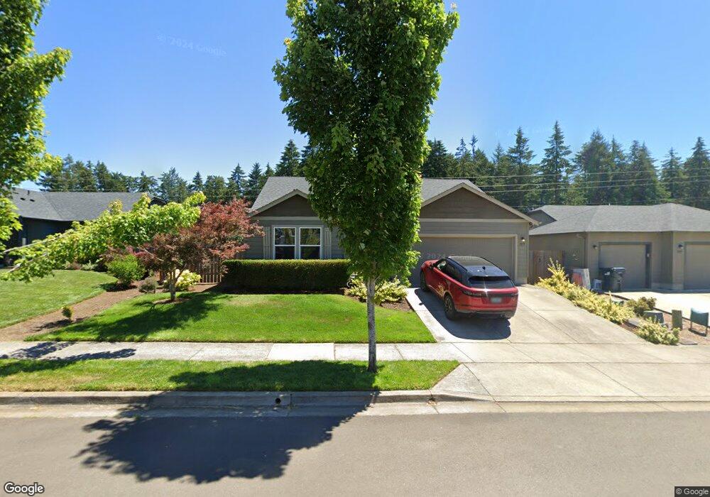
1019 S 55th St Springfield, OR 97478
East Springfield NeighborhoodEstimated Value: $439,312 - $459,000
3
Beds
2
Baths
1,408
Sq Ft
$317/Sq Ft
Est. Value
About This Home
This home is located at 1019 S 55th St, Springfield, OR 97478 and is currently estimated at $446,578, approximately $317 per square foot. 1019 S 55th St is a home located in Lane County with nearby schools including Mt. Vernon Elementary School, Agnes Stewart Middle School, and Thurston High School.
Ownership History
Date
Name
Owned For
Owner Type
Purchase Details
Closed on
Jul 20, 2023
Sold by
Slack Katreen Gabrielle Dela Calzada
Bought by
Slack Alex Lance
Current Estimated Value
Purchase Details
Closed on
Nov 6, 2018
Sold by
Slack Alex L
Bought by
Slack Alex L and Slack Katreen Gabrielle
Home Financials for this Owner
Home Financials are based on the most recent Mortgage that was taken out on this home.
Original Mortgage
$255,392
Interest Rate
4.62%
Mortgage Type
FHA
Purchase Details
Closed on
Oct 5, 2015
Sold by
Hayden Homes Llc
Bought by
Slack Alex L
Home Financials for this Owner
Home Financials are based on the most recent Mortgage that was taken out on this home.
Original Mortgage
$199,028
Interest Rate
3.87%
Mortgage Type
FHA
Create a Home Valuation Report for This Property
The Home Valuation Report is an in-depth analysis detailing your home's value as well as a comparison with similar homes in the area
Home Values in the Area
Average Home Value in this Area
Purchase History
| Date | Buyer | Sale Price | Title Company |
|---|---|---|---|
| Slack Alex Lance | -- | None Listed On Document | |
| Slack Alex L | -- | First American Title | |
| Slack Alex L | $202,700 | Cascade Title Company |
Source: Public Records
Mortgage History
| Date | Status | Borrower | Loan Amount |
|---|---|---|---|
| Previous Owner | Slack Alex L | $255,392 | |
| Previous Owner | Slack Alex L | $199,028 |
Source: Public Records
Tax History Compared to Growth
Tax History
| Year | Tax Paid | Tax Assessment Tax Assessment Total Assessment is a certain percentage of the fair market value that is determined by local assessors to be the total taxable value of land and additions on the property. | Land | Improvement |
|---|---|---|---|---|
| 2024 | $3,978 | $214,098 | -- | -- |
| 2023 | $3,978 | $207,863 | $0 | $0 |
| 2022 | $3,685 | $201,809 | $0 | $0 |
| 2021 | $3,618 | $195,932 | $0 | $0 |
| 2020 | $3,513 | $190,226 | $0 | $0 |
| 2019 | $3,407 | $184,686 | $0 | $0 |
| 2018 | $3,212 | $174,084 | $0 | $0 |
| 2017 | $5,499 | $174,084 | $0 | $0 |
| 2016 | $613 | $34,246 | $0 | $0 |
| 2015 | $2 | $88 | $0 | $0 |
Source: Public Records
Map
Nearby Homes
- 883 S 57th St
- 1076 S 57th Place
- 1097 S 57th Place
- 5761 Mount Vernon Rd
- 784 S 53rd St
- 5335 Daisy St Unit TL 0130
- 5292 Squirrel St
- 5782 Montclaire Way
- 1083 S 59th St
- 5335 Main St Unit 229
- 5335 Main St Unit 236
- 5335 Main St Unit 214
- 5335 Main St Unit 187
- 578 S 53rd St
- 5273 Cedar View Dr
- 5261 Cedar View Dr
- 5289 Cedar View Dr
- 5211 Cedar View Dr
- 5223 Cedar View Dr
- 5247 Cedar View Dr