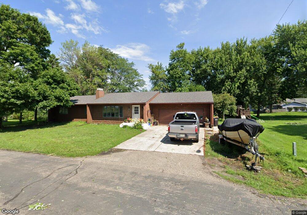
102 4th St SW Clarks Grove, MN 56016
Estimated Value: $245,938 - $280,000
3
Beds
3
Baths
3,240
Sq Ft
$82/Sq Ft
Est. Value
About This Home
This home is located at 102 4th St SW, Clarks Grove, MN 56016 and is currently estimated at $264,235, approximately $81 per square foot. 102 4th St SW is a home located in Freeborn County with nearby schools including Lakeview Elementary School, Southwest Middle School, and Albert Lea Senior High School.
Ownership History
Date
Name
Owned For
Owner Type
Purchase Details
Closed on
Dec 3, 2020
Sold by
Scruton Loren C and Scruton Pamela K
Bought by
Smith Brianna and Smith Cody
Current Estimated Value
Purchase Details
Closed on
Oct 25, 2019
Sold by
Atkinson Babcock
Bought by
Scruton Loren C and Scruton Pmela K
Home Financials for this Owner
Home Financials are based on the most recent Mortgage that was taken out on this home.
Original Mortgage
$167,000
Interest Rate
3.6%
Mortgage Type
VA
Create a Home Valuation Report for This Property
The Home Valuation Report is an in-depth analysis detailing your home's value as well as a comparison with similar homes in the area
Home Values in the Area
Average Home Value in this Area
Purchase History
| Date | Buyer | Sale Price | Title Company |
|---|---|---|---|
| Smith Brianna | $199,900 | None Available | |
| Scruton Loren C | $167,000 | None Available | |
| Smith Brianna Brianna | $199,900 | -- |
Source: Public Records
Mortgage History
| Date | Status | Borrower | Loan Amount |
|---|---|---|---|
| Previous Owner | Scruton Loren C | $167,000 | |
| Closed | Smith Brianna Brianna | $199,900 |
Source: Public Records
Tax History Compared to Growth
Tax History
| Year | Tax Paid | Tax Assessment Tax Assessment Total Assessment is a certain percentage of the fair market value that is determined by local assessors to be the total taxable value of land and additions on the property. | Land | Improvement |
|---|---|---|---|---|
| 2025 | $2,354 | $235,600 | $6,000 | $229,600 |
| 2024 | $2,360 | $199,100 | $6,000 | $193,100 |
| 2023 | $2,316 | $190,500 | $6,000 | $184,500 |
| 2022 | $2,340 | $186,800 | $6,000 | $180,800 |
| 2021 | $2,296 | $163,100 | $14,400 | $148,700 |
| 2020 | $2,226 | $157,600 | $14,400 | $143,200 |
| 2019 | $2,516 | $152,900 | $14,400 | $138,500 |
| 2018 | $2,154 | $0 | $0 | $0 |
| 2016 | $1,828 | $0 | $0 | $0 |
| 2015 | $1,780 | $0 | $0 | $0 |
| 2014 | $2,216 | $0 | $0 | $0 |
| 2012 | $2,500 | $0 | $0 | $0 |
Source: Public Records
Map
Nearby Homes
- 000 County Highway 45
- 378 Hillcrest Cir
- 199 2nd St NE
- 77201 270th St
- 720XX 255th St
- 26444 740th Ave
- 28674 810th Ave
- 77348 325th St
- 74500 240th St
- 26795 820th Ave
- 75976 230th St
- 305 1st St SW
- 309 Central Ave S
- tbd 2nd St SE
- XXXX Bridge Ave N
- TBD Tbd
- TBA SE 2nd
- TBD Bridgeport Subdivision
- xxx Hi Tec Ave
- TBD 2709 - 2715 Bridge Ave
- 424 Independence Ave S
- 422 Independence Ave S
- 101 4th St SW
- 420 Independence Ave S
- 502 Independence Ave S
- 418 Independence Ave S
- 416 Independence Ave S
- 309 Paul Hanson Dr
- 414 Independence Ave S
- 415 Independence Ave S
- 412 Independence Ave S
- 310 Paul Hanson Dr
- 413 Independence Ave S
- 307 Paul Hanson Dr
- 404 Highway 65 S
- 411 Independence Ave S
- 308 Paul Hanson Dr
- 305 Paul Hanson Dr
- 27663 770th Ave
- 406 Independence Ave S