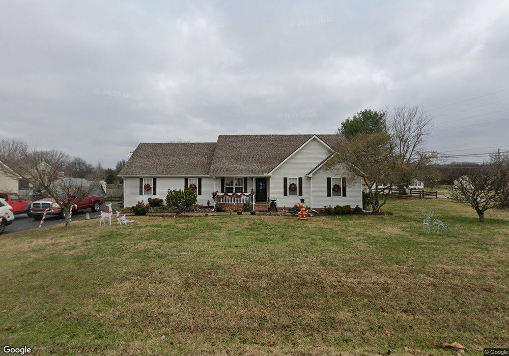
102 Appomattox Ct Murfreesboro, TN 37130
Estimated Value: $345,877 - $386,000
--
Bed
2
Baths
1,568
Sq Ft
$234/Sq Ft
Est. Value
About This Home
This home is located at 102 Appomattox Ct, Murfreesboro, TN 37130 and is currently estimated at $366,719, approximately $233 per square foot. 102 Appomattox Ct is a home located in Rutherford County with nearby schools including Walter Hill Elementary School, Oakland Middle School, and Oakland High School.
Ownership History
Date
Name
Owned For
Owner Type
Purchase Details
Closed on
Jul 30, 1998
Sold by
Homewood Properties Inc
Bought by
Shuman Chad A and Shuman Susan E
Current Estimated Value
Create a Home Valuation Report for This Property
The Home Valuation Report is an in-depth analysis detailing your home's value as well as a comparison with similar homes in the area
Home Values in the Area
Average Home Value in this Area
Purchase History
| Date | Buyer | Sale Price | Title Company |
|---|---|---|---|
| Shuman Chad A | $99,900 | -- |
Source: Public Records
Tax History Compared to Growth
Tax History
| Year | Tax Paid | Tax Assessment Tax Assessment Total Assessment is a certain percentage of the fair market value that is determined by local assessors to be the total taxable value of land and additions on the property. | Land | Improvement |
|---|---|---|---|---|
| 2025 | $1,419 | $75,625 | $13,750 | $61,875 |
| 2024 | $1,419 | $75,625 | $13,750 | $61,875 |
| 2023 | $1,419 | $75,625 | $13,750 | $61,875 |
| 2022 | $1,205 | $74,550 | $13,750 | $60,800 |
| 2021 | $1,111 | $50,050 | $8,750 | $41,300 |
| 2020 | $1,111 | $50,050 | $8,750 | $41,300 |
| 2019 | $1,111 | $50,050 | $8,750 | $41,300 |
| 2018 | $1,051 | $50,050 | $0 | $0 |
| 2017 | $915 | $34,150 | $0 | $0 |
| 2016 | $915 | $34,150 | $0 | $0 |
| 2015 | $915 | $34,150 | $0 | $0 |
| 2014 | $849 | $34,150 | $0 | $0 |
| 2013 | -- | $34,675 | $0 | $0 |
Source: Public Records
Map
Nearby Homes
- 7431 Antietam Ln
- 6923 Riverwalk Blvd
- 102 Marcus Cir
- 105 Dominic Cir
- 6834 Riverwalk Blvd
- 336 Royal Garden Dr
- 3023 Barretts Ridge Dr
- 365 Royal Garden Dr
- 3014 Barretts Ridge Dr
- 6439 Wade Springs Rd
- 1505 Martha Washington Way
- 1509 Martha Washington Way
- 1501 Martha Washington Way
- 1611 Martha Washington Way
- 1709 Martha Washington Way
- 1900 Martha Washington Way
- 6464 Lebanon Rd
- 4605 Pat Nixon Ct
- 0 Pat Nixon Ct
- 10634 Lebanon Rd
- 106 Appomattox Ct
- 103 Appomattox Ct
- 7349 Antietam Ln
- 7411 Antietam Ln
- 1110 Woods Green Rd
- 7404 Antietam Ln
- 7348 Antietam Ln
- 107 Appomattox Ct
- 7343 Antietam Ln
- 1103 Woods Green Rd
- 110 Appomattox Ct
- 1102 Woods Green Rd
- 7344 Antietam Ln
- 1207 Woods Green Rd
- 7419 Antietam Ln
- 7414 Antietam Ln
- 1206 Woods Green Rd
- 7344 Appomattox Dr
- 7406 Appomattox Dr
- 7339 Antietam Ln