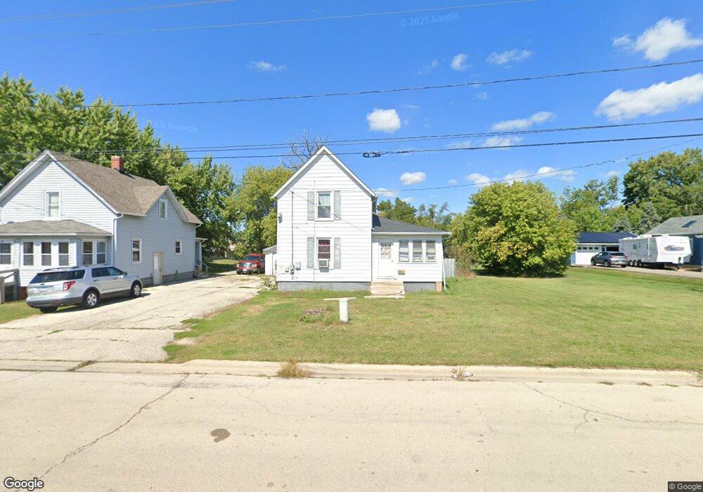
102 E Brink St Harvard, IL 60033
Estimated Value: $152,022 - $302,000
Studio
--
Bath
--
Sq Ft
0.3
Acres
About This Home
This home is located at 102 E Brink St, Harvard, IL 60033 and is currently estimated at $216,756. 102 E Brink St is a home located in McHenry County with nearby schools including Jefferson Elementary School, Crosby Elementary School, and Harvard Junior High School.
Ownership History
Date
Name
Owned For
Owner Type
Purchase Details
Closed on
May 15, 2002
Sold by
Household Finance Corp Iii
Bought by
Allen Deborah L and Allen Edward R
Current Estimated Value
Purchase Details
Closed on
Apr 3, 2002
Sold by
Wilkinson Dawn M
Bought by
Household Finance Corp Iii
Purchase Details
Closed on
Oct 30, 1998
Sold by
Cutts Daniel R and Cutts Helen E
Bought by
Wilkinson Dawn M
Home Financials for this Owner
Home Financials are based on the most recent Mortgage that was taken out on this home.
Original Mortgage
$72,000
Interest Rate
10%
Create a Home Valuation Report for This Property
The Home Valuation Report is an in-depth analysis detailing your home's value as well as a comparison with similar homes in the area
Home Values in the Area
Average Home Value in this Area
Purchase History
| Date | Buyer | Sale Price | Title Company |
|---|---|---|---|
| Allen Deborah L | $63,900 | -- | |
| Household Finance Corp Iii | -- | -- | |
| Wilkinson Dawn M | $90,000 | M&M Title Insurance |
Source: Public Records
Mortgage History
| Date | Status | Borrower | Loan Amount |
|---|---|---|---|
| Previous Owner | Wilkinson Dawn M | $72,000 | |
| Closed | Wilkinson Dawn M | $18,000 |
Source: Public Records
Tax History
| Year | Tax Paid | Tax Assessment Tax Assessment Total Assessment is a certain percentage of the fair market value that is determined by local assessors to be the total taxable value of land and additions on the property. | Land | Improvement |
|---|---|---|---|---|
| 2024 | $3,087 | $34,435 | $11,260 | $23,175 |
| 2023 | $2,939 | $31,129 | $10,179 | $20,950 |
| 2022 | $2,720 | $27,652 | $10,179 | $17,473 |
| 2021 | $2,609 | $25,751 | $9,479 | $16,272 |
| 2020 | $2,561 | $24,515 | $9,024 | $15,491 |
| 2019 | $2,444 | $22,942 | $8,445 | $14,497 |
| 2018 | $2,640 | $23,556 | $8,446 | $15,110 |
| 2017 | $2,554 | $21,224 | $7,610 | $13,614 |
| 2016 | $2,473 | $20,034 | $7,183 | $12,851 |
| 2013 | -- | $20,066 | $7,195 | $12,871 |
Source: Public Records
Map
Nearby Homes
- 202 E Park St
- 201 Lincoln St
- 106 W Thompson St
- 710 1/2 Dewey St
- 17905 Illinois 173
- 305 Garfield St
- 20519 Illinois 173
- 306 Grant St
- 307 Grant St
- 338 Timber Dr
- 203 W Brown St
- 703 Lincoln St
- 516 Cobblestone Cir
- NA Mcguire Rd
- 41.94 Acres US Highway 14
- 0 Us Highway 14
- 704 W Mckinley St
- 1503 W Diggins St
- 00 Route 14 Hwy
- 1317 Sage Ln
- 100 E Brink St
- 106 E Brink St
- 0101 W Brink St
- 209 S Division St
- 200 E Brink St
- 202 E Brink St
- 202 S Division St
- 301 S Division St
- 204 E Brink St
- 204 E Brink St Unit 2
- 103 Mccomb St
- 306 Randall St
- 105 Mccomb St
- 206 E Brink St
- 109 Mccomb St
- 406 E Washington St
- 205 S Jefferson St
- 305 S Division St
- 407 E Park St
- 208 E Brink St
Your Personal Tour Guide
Ask me questions while you tour the home.