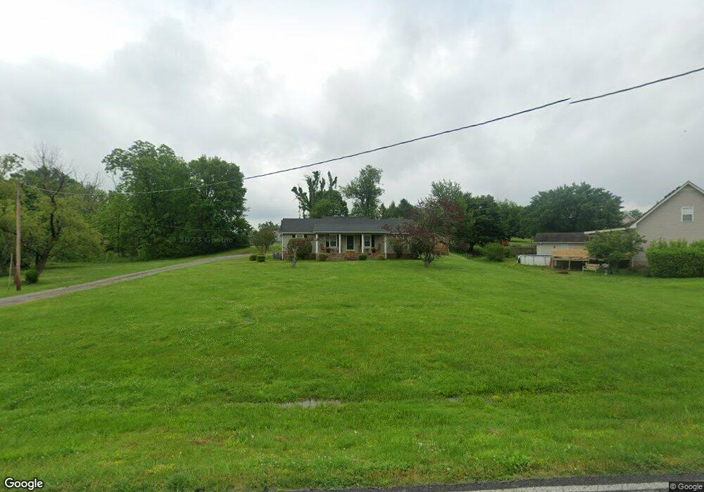
102 Jennings Ln Shelbyville, TN 37160
Estimated Value: $259,446 - $307,000
--
Bed
2
Baths
1,344
Sq Ft
$216/Sq Ft
Est. Value
About This Home
This home is located at 102 Jennings Ln, Shelbyville, TN 37160 and is currently estimated at $290,112, approximately $215 per square foot. 102 Jennings Ln is a home located in Bedford County with nearby schools including East Side Elementary School, Harris Middle School, and Christian Chapel Academy.
Ownership History
Date
Name
Owned For
Owner Type
Purchase Details
Closed on
Jun 29, 2023
Sold by
Gragg Gayle Arlene and Randall Ivan
Bought by
Lamb Randall Ivan
Current Estimated Value
Purchase Details
Closed on
Sep 6, 2002
Sold by
Gragg Rosemary
Bought by
Gragg Gayle A
Purchase Details
Closed on
May 9, 1997
Sold by
York Bob W Deborah
Bought by
Sadler Rosemary
Purchase Details
Closed on
Apr 9, 1997
Sold by
York Bob W Deborah
Bought by
Gragg Robert E
Purchase Details
Closed on
Feb 28, 1991
Bought by
Hornaday Larry J
Create a Home Valuation Report for This Property
The Home Valuation Report is an in-depth analysis detailing your home's value as well as a comparison with similar homes in the area
Home Values in the Area
Average Home Value in this Area
Purchase History
| Date | Buyer | Sale Price | Title Company |
|---|---|---|---|
| Lamb Randall Ivan | -- | None Listed On Document | |
| Gragg Gayle A | $50,321 | -- | |
| Sadler Rosemary | $67,500 | -- | |
| Hornaday Larry J | -- | -- | |
| Gragg Robert E | $67,500 | -- | |
| York Bob W Deborah | -- | -- | |
| Hornaday Larry J | $50,000 | -- |
Source: Public Records
Tax History Compared to Growth
Tax History
| Year | Tax Paid | Tax Assessment Tax Assessment Total Assessment is a certain percentage of the fair market value that is determined by local assessors to be the total taxable value of land and additions on the property. | Land | Improvement |
|---|---|---|---|---|
| 2025 | -- | $51,625 | $0 | $0 |
| 2024 | -- | $40,000 | $8,050 | $31,950 |
| 2023 | $592 | $40,000 | $8,050 | $31,950 |
| 2022 | $1,566 | $40,000 | $8,050 | $31,950 |
| 2021 | $1,422 | $40,000 | $8,050 | $31,950 |
| 2020 | $1,211 | $40,000 | $8,050 | $31,950 |
| 2019 | $1,211 | $27,325 | $5,750 | $21,575 |
| 2018 | $1,184 | $27,325 | $5,750 | $21,575 |
| 2017 | $1,184 | $27,325 | $5,750 | $21,575 |
| 2016 | $1,172 | $27,325 | $5,750 | $21,575 |
| 2015 | $1,172 | $27,325 | $5,750 | $21,575 |
| 2014 | $1,082 | $27,590 | $0 | $0 |
Source: Public Records
Map
Nearby Homes
- 1030 Union St
- 407 Dow Dr
- 309 Honeysuckle Ln
- 223 Megan Cir
- 1615 Elevation ABC Plan at Wheatfield
- 1567 Elevation ABC Plan at Wheatfield
- 402 Rose Ln
- 225 Republic St
- 227 Republic St
- 119 Millet St
- 122 Laurelwood Dr
- 232 Republic St
- 226 Republic St
- 228 Republic St
- 118 Millet St
- 603 Tines Dr
- 105 Atlantic Ave
- 229 Millet St
- 410 Dover St
- 101 Briar Patch Dr