102 Laurel Haven Rd Fairview, NC 28730
Estimated Value: $412,000 - $704,000
2
Beds
2
Baths
1,320
Sq Ft
$386/Sq Ft
Est. Value
About This Home
This home is located at 102 Laurel Haven Rd, Fairview, NC 28730 and is currently estimated at $509,241, approximately $385 per square foot. 102 Laurel Haven Rd is a home located in Buncombe County with nearby schools including A.C. Reynolds High School, Fairview Elementary School, and Cane Creek Middle.
Ownership History
Date
Name
Owned For
Owner Type
Purchase Details
Closed on
May 5, 2011
Sold by
Augram Charles Jeffery
Bought by
Augram Charles Jeffery and Augram Robin R
Current Estimated Value
Home Financials for this Owner
Home Financials are based on the most recent Mortgage that was taken out on this home.
Original Mortgage
$77,000
Interest Rate
4.81%
Mortgage Type
New Conventional
Create a Home Valuation Report for This Property
The Home Valuation Report is an in-depth analysis detailing your home's value as well as a comparison with similar homes in the area
Home Values in the Area
Average Home Value in this Area
Purchase History
| Date | Buyer | Sale Price | Title Company |
|---|---|---|---|
| Augram Charles Jeffery | -- | None Available |
Source: Public Records
Mortgage History
| Date | Status | Borrower | Loan Amount |
|---|---|---|---|
| Closed | Augram Charles Jeffery | $77,000 | |
| Closed | Augram Charles Jeffery | $50,000 |
Source: Public Records
Tax History
| Year | Tax Paid | Tax Assessment Tax Assessment Total Assessment is a certain percentage of the fair market value that is determined by local assessors to be the total taxable value of land and additions on the property. | Land | Improvement |
|---|---|---|---|---|
| 2025 | $1,668 | $246,100 | $45,000 | $201,100 |
| 2024 | $1,668 | $246,100 | $45,000 | $201,100 |
| 2023 | $1,668 | $246,100 | $45,000 | $201,100 |
| 2022 | $1,558 | $246,100 | $0 | $0 |
| 2021 | $1,558 | $246,100 | $0 | $0 |
| 2020 | $1,293 | $191,900 | $0 | $0 |
| 2019 | $1,293 | $191,900 | $0 | $0 |
| 2018 | $1,236 | $191,900 | $0 | $0 |
| 2017 | $1,236 | $157,200 | $0 | $0 |
| 2016 | $1,115 | $157,200 | $0 | $0 |
| 2015 | $1,115 | $157,200 | $0 | $0 |
| 2014 | $1,115 | $157,200 | $0 | $0 |
Source: Public Records
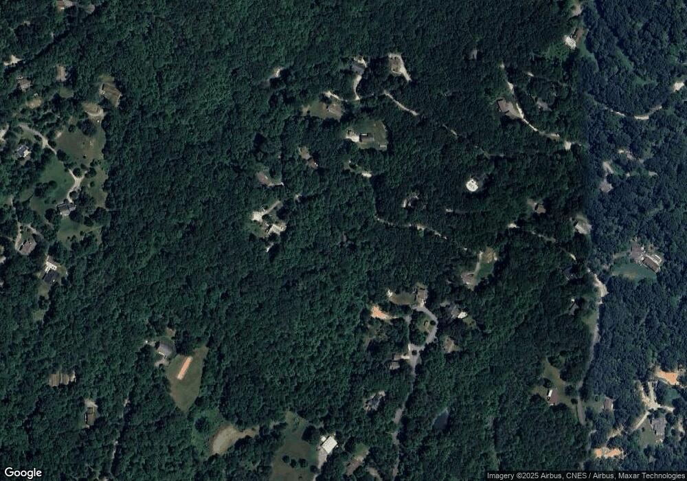
Map
Nearby Homes
- 19 Laurel Loop Rd SE
- 116 Vehorn Rd
- 16 Rusty Clay Ridge
- 55 Heavenly Ln
- 38 Gollum Dr
- 808 Old Fort Rd
- 66 Enterprise Dr Unit 66
- 90 Indian Mound Trail
- 25 Ted Linn Dr
- 48 Buck Ridge Rd
- 29 Honey Hollow Ln
- 67 Flat Top Mountain Rd
- 94 Church Rd
- 5 Becky Ln
- 10 Bear Trail
- 310 Log Gap Rd
- 15 Edmond Woods Place
- 703 Garren Creek Rd
- 7 Noble Rd
- 341 Sugar Hollow Rd
- 106 Laurel Haven Rd
- 111 Laurel Haven Rd
- 85 Laurel Haven Rd
- 56 Laurel Trail Dr
- 60 Laurel Trail Dr
- 110 Laurel Haven Rd
- 95 Laurel Haven Rd
- 108 Laurel Loop Rd
- 61 Laurel Trail Dr
- 119 Laurel Haven Rd
- 119 Laurel Haven Rd
- 81 Laurel Haven Rd
- 50 Laurel Trail Dr
- 80 Laurel Haven Rd
- 128 Laurel Loop
- 135 Laurel Haven Rd
- 57 Laurel Trail Dr
- 139 Laurel Haven Rd
- 124 Laurel Haven Rd
- 40 Laurel Trail Dr
Your Personal Tour Guide
Ask me questions while you tour the home.