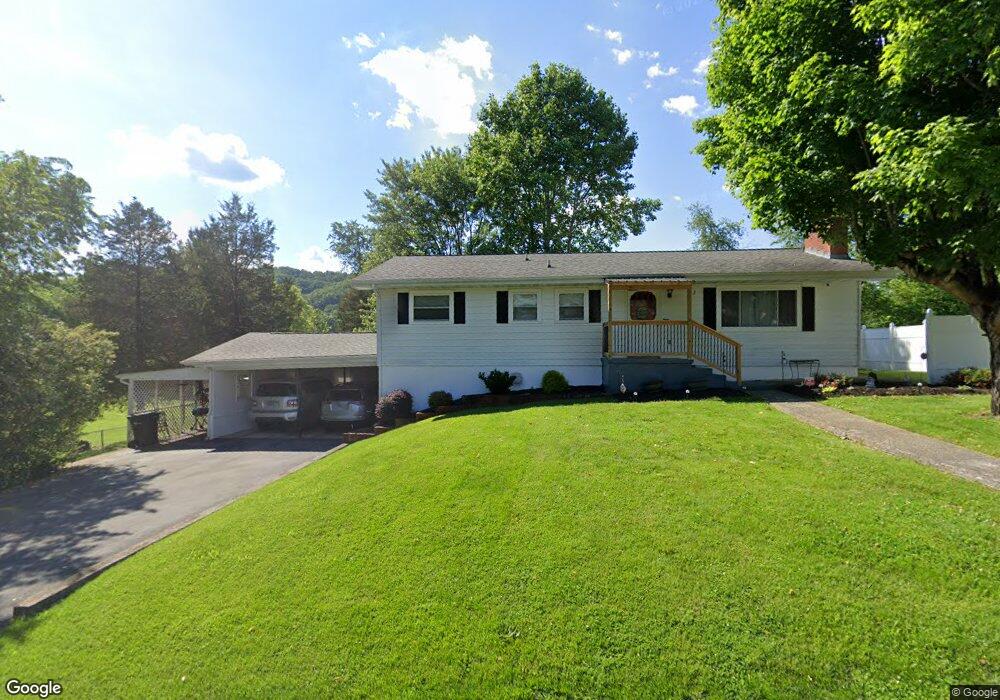
102 Laurel Rd Bristol, TN 37620
Estimated Value: $173,258 - $241,000
--
Bed
2
Baths
1,175
Sq Ft
$182/Sq Ft
Est. Value
About This Home
This home is located at 102 Laurel Rd, Bristol, TN 37620 and is currently estimated at $213,565, approximately $181 per square foot. 102 Laurel Rd is a home located in Sullivan County with nearby schools including Avoca Elementary School, Vance Middle School, and Tennessee High School.
Ownership History
Date
Name
Owned For
Owner Type
Purchase Details
Closed on
Aug 10, 2020
Sold by
Woodlief Jennifer
Bought by
Byington Alica B
Current Estimated Value
Home Financials for this Owner
Home Financials are based on the most recent Mortgage that was taken out on this home.
Original Mortgage
$70,736
Outstanding Balance
$62,748
Interest Rate
3%
Estimated Equity
$150,817
Purchase Details
Closed on
Oct 4, 2019
Sold by
Woodliff Jennifer
Bought by
Woodliff Jennifer and Byington Alica
Create a Home Valuation Report for This Property
The Home Valuation Report is an in-depth analysis detailing your home's value as well as a comparison with similar homes in the area
Home Values in the Area
Average Home Value in this Area
Purchase History
| Date | Buyer | Sale Price | Title Company |
|---|---|---|---|
| Byington Alica B | -- | Reliable T&E Llc | |
| Woodliff Jennifer | -- | None Available |
Source: Public Records
Mortgage History
| Date | Status | Borrower | Loan Amount |
|---|---|---|---|
| Open | Byington Alica B | $70,736 |
Source: Public Records
Tax History Compared to Growth
Tax History
| Year | Tax Paid | Tax Assessment Tax Assessment Total Assessment is a certain percentage of the fair market value that is determined by local assessors to be the total taxable value of land and additions on the property. | Land | Improvement |
|---|---|---|---|---|
| 2024 | -- | $28,075 | $4,425 | $23,650 |
| 2023 | $1,234 | $28,075 | $4,425 | $23,650 |
| 2022 | $1,234 | $28,075 | $4,425 | $23,650 |
| 2021 | $1,233 | $28,075 | $4,425 | $23,650 |
| 2020 | $1,268 | $28,075 | $4,425 | $23,650 |
| 2019 | $1,268 | $26,800 | $4,425 | $22,375 |
| 2018 | $1,262 | $26,800 | $4,425 | $22,375 |
| 2017 | $1,262 | $26,800 | $4,425 | $22,375 |
| 2016 | $1,252 | $25,950 | $4,425 | $21,525 |
| 2014 | $1,182 | $25,943 | $0 | $0 |
Source: Public Records
Map
Nearby Homes
- 521 Hickory Rd
- 208 Blue Ridge Dr
- 210 Hemlock Rd
- 101 Ridgewood Dr
- 2118 King College Rd
- 403 Martindale Rd
- 302 Martindale Rd
- 305 Sunnybrook Dr
- 1011 Barber Rd
- 100 Martindale Rd
- 1026 Deer Harbour Rd
- 3218 Avoca Rd
- 301 Tween Hills Rd
- 307 Tween Hills Rd
- 101 Timberlane Rd
- 204 Shady Brook Dr
- 1837 Holston Dr
- 117 Carla St
- 305 Fieldcrest Rd
- 251 Rock Creek Dr
- 100 Laurel Rd
- 201 Honeysuckle Ln
- 103 Longwood Rd
- 105 Laurel Rd
- 105 Laurel Rd
- 207 Honeysuckle Ln
- 103 Laurel Rd
- 101 Laurel Rd
- 108 Blue Ridge Dr
- 105 Longwood Rd
- 200 Honeysuckle Ln
- 106 Blue Ridge Dr
- 110 Blue Ridge Dr
- 102 Longwood Rd
- 202 Honeysuckle Ln
- 104 Honeysuckle Ln
- 301 Honeysuckle Ln
- 8 Hemlock St
- 10 Hemlock St
- 204 Honeysuckle Ln