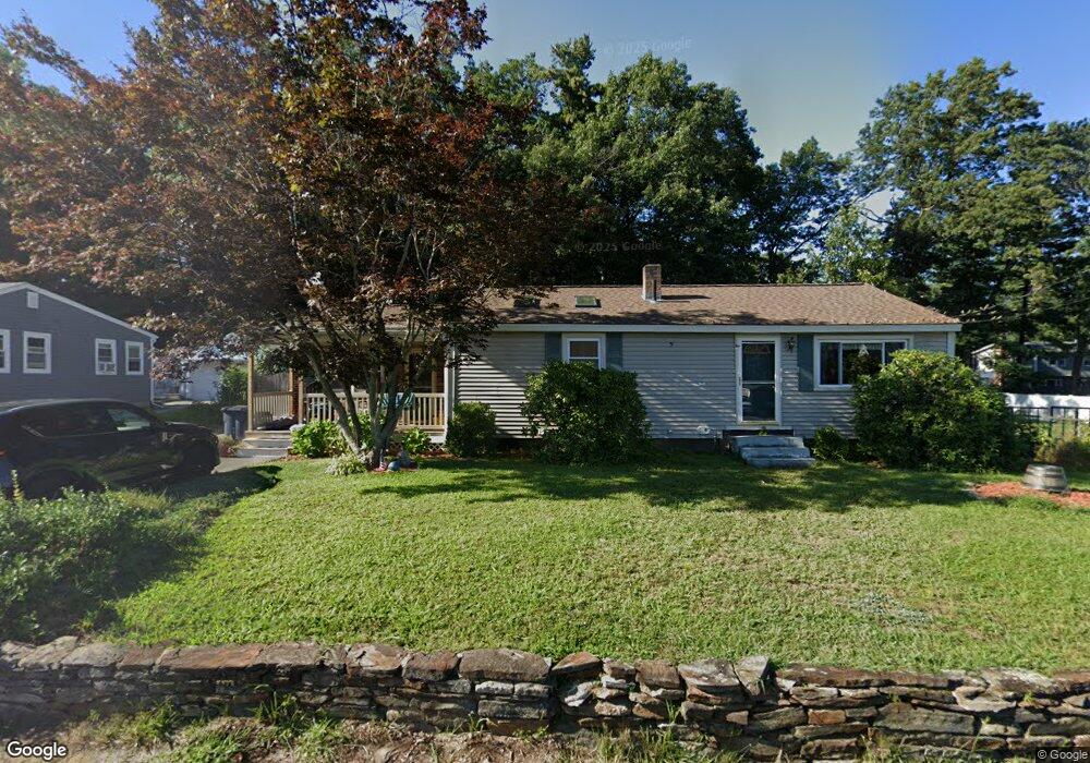
102 Linton St Unit 239 Nashua, NH 03060
Southeast Nashua NeighborhoodEstimated Value: $479,000 - $511,000
3
Beds
2
Baths
1,184
Sq Ft
$421/Sq Ft
Est. Value
About This Home
This home is located at 102 Linton St Unit 239, Nashua, NH 03060 and is currently estimated at $498,167, approximately $420 per square foot. 102 Linton St Unit 239 is a home located in Hillsborough County with nearby schools including Sunset Heights Elementary School, Elm Street Middle School, and Nashua High School South.
Ownership History
Date
Name
Owned For
Owner Type
Purchase Details
Closed on
Nov 18, 2002
Sold by
Hartson Holly L
Bought by
Lockwood John H and Lockwood Kim E
Current Estimated Value
Home Financials for this Owner
Home Financials are based on the most recent Mortgage that was taken out on this home.
Original Mortgage
$140,000
Interest Rate
6.03%
Create a Home Valuation Report for This Property
The Home Valuation Report is an in-depth analysis detailing your home's value as well as a comparison with similar homes in the area
Home Values in the Area
Average Home Value in this Area
Purchase History
| Date | Buyer | Sale Price | Title Company |
|---|---|---|---|
| Lockwood John H | $200,000 | -- |
Source: Public Records
Mortgage History
| Date | Status | Borrower | Loan Amount |
|---|---|---|---|
| Open | Lockwood John H | $180,423 | |
| Closed | Lockwood John H | $192,139 | |
| Closed | Lockwood John H | $140,000 |
Source: Public Records
Tax History Compared to Growth
Tax History
| Year | Tax Paid | Tax Assessment Tax Assessment Total Assessment is a certain percentage of the fair market value that is determined by local assessors to be the total taxable value of land and additions on the property. | Land | Improvement |
|---|---|---|---|---|
| 2024 | $6,715 | $422,300 | $157,200 | $265,100 |
| 2023 | $6,421 | $352,200 | $125,800 | $226,400 |
| 2022 | $6,364 | $352,200 | $125,800 | $226,400 |
| 2021 | $5,872 | $252,900 | $88,000 | $164,900 |
| 2020 | $5,664 | $250,500 | $88,000 | $162,500 |
| 2019 | $5,451 | $250,500 | $88,000 | $162,500 |
| 2018 | $5,313 | $250,500 | $88,000 | $162,500 |
| 2017 | $4,776 | $185,200 | $75,800 | $109,400 |
| 2016 | $4,643 | $185,200 | $75,800 | $109,400 |
| 2015 | $4,543 | $185,200 | $75,800 | $109,400 |
| 2014 | $4,454 | $185,200 | $75,800 | $109,400 |
Source: Public Records
Map
Nearby Homes
- 130 E Hobart St Unit 85
- 160 Daniel Webster Hwy Unit 328
- 61 Spindlewick Dr
- 36 Eastman St Unit 26
- 4 Autumn Leaf Dr Unit 8
- 7 Hickory St
- 15 Learned St Unit 123
- 73 Bluestone Dr
- 27 Fifield St Unit 13
- 6 Hayden St
- 92 Bluestone Dr
- 9 Byron Dr
- 17 Herrick St
- 5 Louisburg Square Unit 11
- 1 Circle Ave
- 10 Cedar St
- 125 Lille Rd
- 2 Lyons St
- 65 Allds St
- 15 Lovell St Unit 3
- 100 Linton St Unit 261
- 108 Linton St
- 103 Linton St
- 112 Linton St Unit 236
- 101 Linton St Unit 216
- 96 Linton St Unit 242
- 107 Linton St
- 15 Westbrook Dr
- 111 Linton St Unit 220
- 97 Linton St Unit 214
- 104 E Glenwood St
- 116 Linton St
- 17 Westbrook Dr
- 106 E Glenwood St
- 100 E Glenwood St Unit 170
- 115 Linton St
- 86 Linton St Unit 244245
- 108 E Glenwood St Unit 166
- 89 Linton St
- 90 E Glenwood St Unit 172