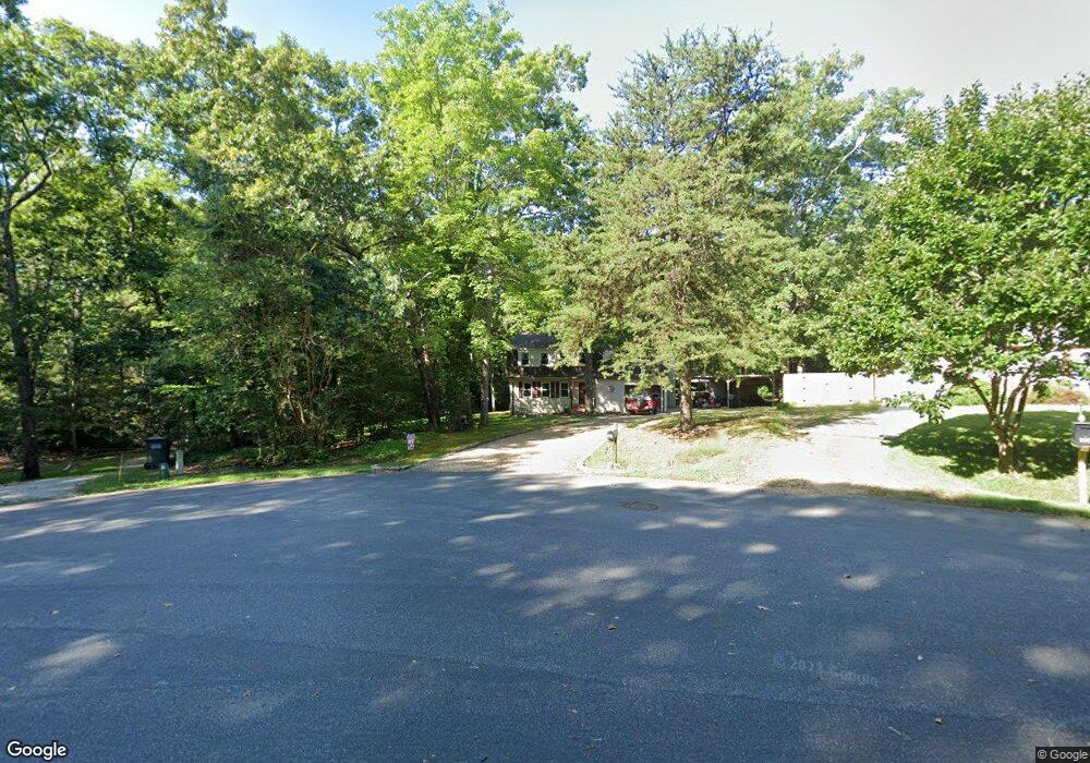
102 Macon Cir Williamsburg, VA 23188
Estimated Value: $386,000 - $406,000
3
Beds
2
Baths
2,029
Sq Ft
$195/Sq Ft
Est. Value
About This Home
This home is located at 102 Macon Cir, Williamsburg, VA 23188 and is currently estimated at $396,137, approximately $195 per square foot. 102 Macon Cir is a home located in York County with nearby schools including Waller Mill Elementary School, Queens Lake Middle School, and Bruton High School.
Ownership History
Date
Name
Owned For
Owner Type
Purchase Details
Closed on
Mar 26, 2008
Sold by
Rogers William L
Bought by
Hayes Brett P
Current Estimated Value
Home Financials for this Owner
Home Financials are based on the most recent Mortgage that was taken out on this home.
Original Mortgage
$234,945
Outstanding Balance
$148,983
Interest Rate
5.99%
Mortgage Type
New Conventional
Estimated Equity
$247,154
Create a Home Valuation Report for This Property
The Home Valuation Report is an in-depth analysis detailing your home's value as well as a comparison with similar homes in the area
Purchase History
| Date | Buyer | Sale Price | Title Company |
|---|---|---|---|
| Hayes Brett P | $230,000 | -- |
Source: Public Records
Mortgage History
| Date | Status | Borrower | Loan Amount |
|---|---|---|---|
| Open | Hayes Brett P | $234,945 |
Source: Public Records
Tax History
| Year | Tax Paid | Tax Assessment Tax Assessment Total Assessment is a certain percentage of the fair market value that is determined by local assessors to be the total taxable value of land and additions on the property. | Land | Improvement |
|---|---|---|---|---|
| 2025 | $2,420 | $327,000 | $93,000 | $234,000 |
| 2024 | $2,420 | $327,000 | $93,000 | $234,000 |
| 2023 | $2,007 | $260,600 | $93,000 | $167,600 |
| 2022 | $2,033 | $260,600 | $93,000 | $167,600 |
| 2021 | $1,791 | $225,300 | $84,000 | $141,300 |
| 2020 | $1,791 | $225,300 | $84,000 | $141,300 |
| 2019 | $2,399 | $210,400 | $78,800 | $131,600 |
| 2018 | $2,399 | $210,400 | $78,800 | $131,600 |
| 2017 | $1,553 | $206,600 | $75,000 | $131,600 |
| 2016 | $1,553 | $206,600 | $75,000 | $131,600 |
| 2015 | -- | $208,100 | $75,000 | $133,100 |
| 2014 | -- | $208,100 | $75,000 | $133,100 |
Source: Public Records
Map
Nearby Homes
- 107 Chapel Hill Ln
- 4012 Newman Rd
- 105 Londonderry Ln
- 110 Rustic Run Ln
- 1300 Treviso Bay
- 1312 Treviso Bay
- 1224 Treviso Bay
- 1268 Treviso Bay
- 1272 Treviso Bay
- 201 Skimino Rd
- 328 Wilkinson Dr
- 133 Capeside Ct
- 701 Lightfoot Rd
- 109 N Cove Rd
- 100 Clark Ln
- 129 Clark Ln
- 6050 Mooretown Rd
- 100 Moore Dr
- 101 Moore Dr
- 8209 Natures Way
- 104 Macon Cir
- 100 Macon Cir
- 122 Alabama Ln
- 101 Macon Cir
- 120 Alabama Ln
- 103 Macon Cir
- 128 Alabama Ln
- 121 Alabama Ln
- 118 Alabama Ln
- 125 Alabama Ln
- 117 Alabama Ln
- 116 Alabama Ln
- 127 Alabama Ln
- 130 Alabama Ln
- 129 Alabama Ln
- 115 Alabama Ln
- 108 Chapel Hill Ln
- 114 Alabama Ln
- 112 Chapel Hill Ln
- 113 Alabama Ln
Your Personal Tour Guide
Ask me questions while you tour the home.