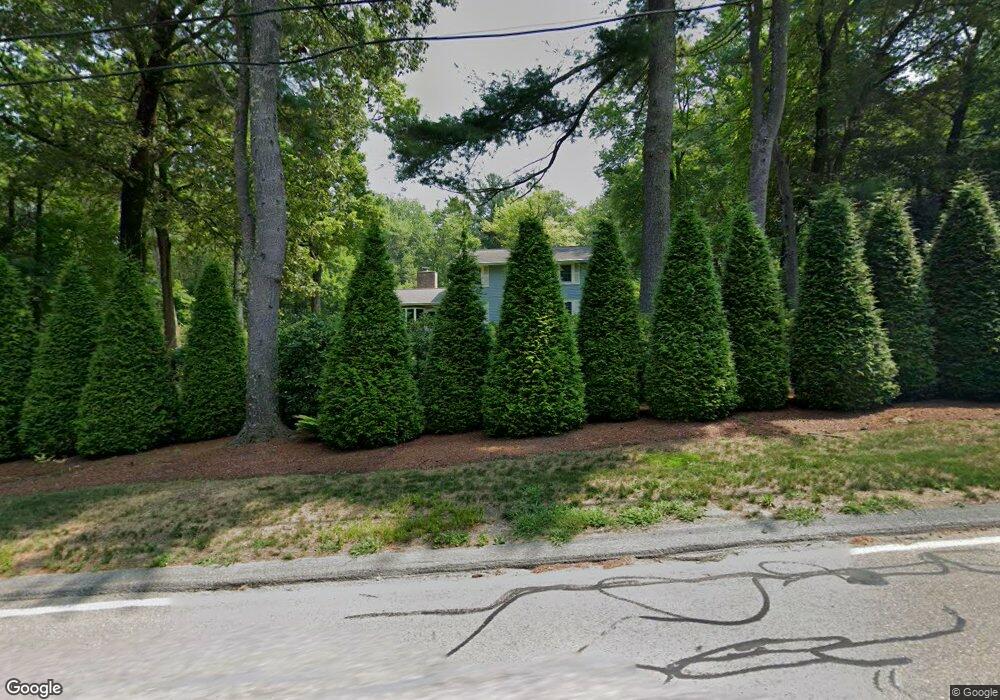
102 Pinnacle Rd Harvard, MA 01451
Estimated Value: $796,925 - $943,000
3
Beds
3
Baths
2,288
Sq Ft
$388/Sq Ft
Est. Value
About This Home
This home is located at 102 Pinnacle Rd, Harvard, MA 01451 and is currently estimated at $886,981, approximately $387 per square foot. 102 Pinnacle Rd is a home located in Worcester County with nearby schools including Hildreth Elementary School and The Bromfield School.
Ownership History
Date
Name
Owned For
Owner Type
Purchase Details
Closed on
Jan 21, 2025
Sold by
Mitchell Susan S
Bought by
Susan S Mitchell Ret and Mitchell
Current Estimated Value
Purchase Details
Closed on
Jun 10, 2019
Sold by
Deng Peitao
Bought by
Mitchell Susan S
Purchase Details
Closed on
Apr 8, 1966
Bought by
Mitchell Robert M and Mitchell Susan S
Create a Home Valuation Report for This Property
The Home Valuation Report is an in-depth analysis detailing your home's value as well as a comparison with similar homes in the area
Home Values in the Area
Average Home Value in this Area
Purchase History
| Date | Buyer | Sale Price | Title Company |
|---|---|---|---|
| Susan S Mitchell Ret | -- | None Available | |
| Susan S Mitchell Ret | -- | None Available | |
| Mitchell Susan S | $65,000 | -- | |
| Mitchell Robert M | -- | -- |
Source: Public Records
Mortgage History
| Date | Status | Borrower | Loan Amount |
|---|---|---|---|
| Previous Owner | Mitchell Robert M | $392,000 | |
| Previous Owner | Mitchell Robert M | $300,000 |
Source: Public Records
Tax History
| Year | Tax Paid | Tax Assessment Tax Assessment Total Assessment is a certain percentage of the fair market value that is determined by local assessors to be the total taxable value of land and additions on the property. | Land | Improvement |
|---|---|---|---|---|
| 2025 | $10,345 | $661,000 | $270,700 | $390,300 |
| 2024 | $9,849 | $661,000 | $270,700 | $390,300 |
| 2023 | $9,846 | $592,800 | $250,800 | $342,000 |
| 2022 | $9,147 | $510,700 | $237,200 | $273,500 |
| 2021 | $9,005 | $479,500 | $237,200 | $242,300 |
| 2020 | $8,415 | $455,600 | $237,200 | $218,400 |
| 2019 | $8,107 | $465,400 | $237,200 | $228,200 |
| 2018 | $0 | $438,900 | $237,200 | $201,700 |
| 2017 | $7,030 | $388,400 | $197,200 | $191,200 |
| 2016 | $7,011 | $388,400 | $197,200 | $191,200 |
| 2015 | $7,310 | $410,900 | $193,200 | $217,700 |
| 2014 | $7,022 | $410,900 | $193,200 | $217,700 |
Source: Public Records
Map
Nearby Homes
- 4 Old Meadow Ln
- 18A S Shaker Rd
- 8 Woodchuck Hill Rd
- 220 Swanson Rd Unit 605
- 220 Swanson Rd Unit 606
- 220 Swanson Rd Unit 604
- 78 Shaker Rd
- 15 Spencer Rd Unit 12E
- 50 Spencer Rd Unit 12L
- 53 Swanson Ct Unit 24C
- 0 Ayer & Old Mill Rd
- 9 Blanchard Rd
- 107 Old Mill Rd
- 959 Hill Rd
- 17 Chestnut Ln
- 23 Tahanto Trail
- 276 Codman Hill Rd Unit 36A
- 54 Prospect Hill Rd
- 310 Codman Hill Rd Unit 35D
- 60 Prospect Hill Rd
Your Personal Tour Guide
Ask me questions while you tour the home.