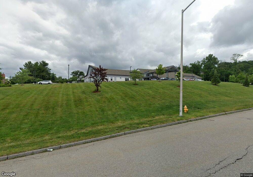
102 Randolph Rd Worcester, MA 01606
Greendale Neighborhood
Studio
--
Bath
68,545
Sq Ft
199,505
Sq Ft
About This Home
This home is located at 102 Randolph Rd, Worcester, MA 01606. 102 Randolph Rd is a home located in Worcester County with nearby schools including Jacob Hiatt Magnet School, Chandler Magnet, and Thorndyke Road School.
Ownership History
Date
Name
Owned For
Owner Type
Purchase Details
Closed on
Mar 19, 2012
Sold by
Randolph Road Rt and Papalilo
Bought by
Kmrn Invest Llc
Home Financials for this Owner
Home Financials are based on the most recent Mortgage that was taken out on this home.
Original Mortgage
$787,500
Outstanding Balance
$536,778
Interest Rate
3.86%
Mortgage Type
Commercial
Purchase Details
Closed on
Oct 16, 2009
Sold by
Intl Chrch Of Foursqua
Bought by
Randolph Road Rt and Papalilo
Home Financials for this Owner
Home Financials are based on the most recent Mortgage that was taken out on this home.
Original Mortgage
$618,750
Interest Rate
5.14%
Mortgage Type
Commercial
Purchase Details
Closed on
Jul 23, 2002
Sold by
Odd Fellows Home Of Ma
Bought by
Fourq Internatl Church
Create a Home Valuation Report for This Property
The Home Valuation Report is an in-depth analysis detailing your home's value as well as a comparison with similar homes in the area
Home Values in the Area
Average Home Value in this Area
Purchase History
| Date | Buyer | Sale Price | Title Company |
|---|---|---|---|
| Kmrn Invest Llc | $1,050,000 | -- | |
| Kmrn Invest Llc | $1,050,000 | -- | |
| Randolph Road Rt | $825,000 | -- | |
| Randolph Road Rt | $825,000 | -- | |
| Fourq Internatl Church | $1,212,000 | -- | |
| Internatl Church Fourq | $1,212,000 | -- |
Source: Public Records
Mortgage History
| Date | Status | Borrower | Loan Amount |
|---|---|---|---|
| Open | Kmrn Invest Llc | $787,500 | |
| Closed | Kmrn Invest Llc | $157,500 | |
| Closed | Internatl Church Fourq | $787,500 | |
| Previous Owner | Randolph Road Rt | $618,750 |
Source: Public Records
Tax History
| Year | Tax Paid | Tax Assessment Tax Assessment Total Assessment is a certain percentage of the fair market value that is determined by local assessors to be the total taxable value of land and additions on the property. | Land | Improvement |
|---|---|---|---|---|
| 2025 | $79,468 | $2,777,640 | $1,382,100 | $1,395,540 |
| 2024 | $83,732 | $2,787,360 | $1,382,100 | $1,405,260 |
| 2023 | $87,133 | $2,787,360 | $1,201,800 | $1,585,560 |
| 2022 | $92,903 | $2,787,360 | $1,201,800 | $1,585,560 |
| 2021 | $104,853 | $2,896,500 | $1,099,500 | $1,797,000 |
| 2020 | $60,607 | $1,723,740 | $1,099,500 | $624,240 |
| 2019 | $60,159 | $1,723,740 | $1,071,000 | $652,740 |
| 2018 | $58,659 | $1,723,740 | $1,071,000 | $652,740 |
| 2017 | $56,763 | $1,723,740 | $784,800 | $938,940 |
| 2016 | $33,718 | $992,300 | $759,400 | $232,900 |
| 2015 | $24,096 | $759,400 | $759,400 | $0 |
| 2014 | $20,398 | $1,043,900 | $700,000 | $343,900 |
Source: Public Records
Map
Nearby Homes
- 15 Ericsson St
- 18 Gosnold St
- 39 Whitmarsh Ave
- 169 Whitmarsh Ave
- 44 Boardman St
- 31 Boardman St
- 15 Boardman St
- 323 Burncoat St
- 331 Burncoat St
- 30 Melrose St
- 66 Eunice Ave
- 6 Roald St
- 45 Goldthwaite Rd
- 5 Wakefield St
- 58 Osceola Ave
- 30 Danielles Way
- 18 Danielles Way
- 3205 Halcyon Dr Unit 3205
- 2 Selden St
- 23 Dryden St
Your Personal Tour Guide
Ask me questions while you tour the home.