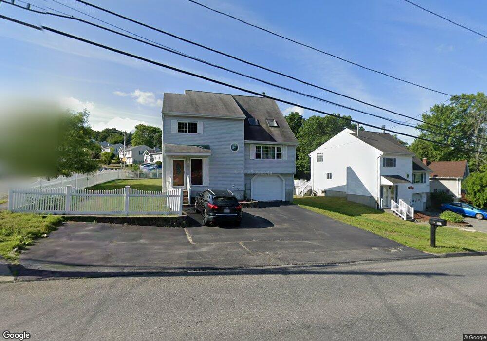
102 Sunderland Rd Worcester, MA 01604
Broadmeadow Brook NeighborhoodEstimated Value: $479,000 - $596,000
3
Beds
4
Baths
1,886
Sq Ft
$276/Sq Ft
Est. Value
About This Home
This home is located at 102 Sunderland Rd, Worcester, MA 01604 and is currently estimated at $519,790, approximately $275 per square foot. 102 Sunderland Rd is a home located in Worcester County with nearby schools including Jacob Hiatt Magnet School, Chandler Magnet, and Rice Square Elementary School.
Ownership History
Date
Name
Owned For
Owner Type
Purchase Details
Closed on
Feb 27, 1995
Sold by
Stankus Linda L
Bought by
Conte Angelo and Conte Darlene
Current Estimated Value
Home Financials for this Owner
Home Financials are based on the most recent Mortgage that was taken out on this home.
Original Mortgage
$105,000
Interest Rate
9.17%
Mortgage Type
Purchase Money Mortgage
Create a Home Valuation Report for This Property
The Home Valuation Report is an in-depth analysis detailing your home's value as well as a comparison with similar homes in the area
Home Values in the Area
Average Home Value in this Area
Purchase History
| Date | Buyer | Sale Price | Title Company |
|---|---|---|---|
| Conte Angelo | $137,000 | -- |
Source: Public Records
Mortgage History
| Date | Status | Borrower | Loan Amount |
|---|---|---|---|
| Open | Conte Angelo | $108,000 | |
| Closed | Conte Angelo | $105,000 | |
| Previous Owner | Conte Angelo | $82,900 |
Source: Public Records
Tax History
| Year | Tax Paid | Tax Assessment Tax Assessment Total Assessment is a certain percentage of the fair market value that is determined by local assessors to be the total taxable value of land and additions on the property. | Land | Improvement |
|---|---|---|---|---|
| 2025 | $5,740 | $435,200 | $117,500 | $317,700 |
| 2024 | $5,671 | $412,400 | $117,500 | $294,900 |
| 2023 | $5,466 | $381,200 | $102,200 | $279,000 |
| 2022 | $5,244 | $344,800 | $81,800 | $263,000 |
| 2021 | $5,211 | $320,100 | $65,400 | $254,700 |
| 2020 | $5,245 | $308,500 | $65,400 | $243,100 |
| 2019 | $4,694 | $260,800 | $58,800 | $202,000 |
| 2018 | $4,788 | $253,200 | $58,800 | $194,400 |
| 2017 | $4,565 | $237,500 | $58,800 | $178,700 |
| 2016 | $4,526 | $219,600 | $42,700 | $176,900 |
| 2015 | $4,407 | $219,600 | $42,700 | $176,900 |
| 2014 | $4,291 | $219,600 | $42,700 | $176,900 |
Source: Public Records
Map
Nearby Homes
- 16 Arborwood Dr
- 10 County St
- 53 Denver Terrace
- 12 Benham St
- 25 Stoneham Rd
- 62 Allston Ave
- 143 Commonwealth Ave
- 83 Massasoit Rd
- 20 Brightwood Ave
- 259 Massasoit Rd
- 256 Massasoit Rd
- 143 Dorcester
- 266 Massasoit Rd
- 16 Vincent Cir
- 330 Sunderland Rd Unit 80
- 21 Middlesex Ave Unit 102
- 80 Delmont Ave
- Lot B Crawford St
- 41 Modoc St
- 19 Middlesex Ave
- 100 Sunderland Rd
- 2 Wasilla Dr
- 98 Sunderland Rd
- 104 Sunderland Rd
- 109 Sunderland Rd
- 115 Sunderland Rd
- 4 Wasilla Dr
- 119 Sunderland Rd
- 1 Wasilla Dr
- 80 Corrine St
- 106 Sunderland Rd
- 77 Corrine St
- 28 Maranda St
- 56 Corrine St
- 3 Wasilla Dr
- 23 Wasilla Dr
- 94 Sunderland Rd
- 6 Wasilla Dr
- 81 Rudolph St
- 125 Sunderland Rd
Your Personal Tour Guide
Ask me questions while you tour the home.