102 W Lee Rd Delray Beach, FL 33445
High Point NeighborhoodEstimated Value: $551,000 - $824,000
3
Beds
3
Baths
2,201
Sq Ft
$301/Sq Ft
Est. Value
About This Home
This home is located at 102 W Lee Rd, Delray Beach, FL 33445 and is currently estimated at $663,592, approximately $301 per square foot. 102 W Lee Rd is a home located in Palm Beach County with nearby schools including Banyan Creek Elementary School, Carver Community Middle School, and Atlantic High School.
Ownership History
Date
Name
Owned For
Owner Type
Purchase Details
Closed on
Oct 13, 1998
Sold by
Lees Crossing-Delray Beach Ltd
Bought by
Johnson Edwardo E and Johnson Marjorie E
Current Estimated Value
Home Financials for this Owner
Home Financials are based on the most recent Mortgage that was taken out on this home.
Original Mortgage
$142,500
Outstanding Balance
$29,806
Interest Rate
6.95%
Mortgage Type
New Conventional
Estimated Equity
$633,786
Purchase Details
Closed on
Aug 14, 1995
Sold by
Clerk Circuit Court
Bought by
Bancboston Mtg Corp
Create a Home Valuation Report for This Property
The Home Valuation Report is an in-depth analysis detailing your home's value as well as a comparison with similar homes in the area
Home Values in the Area
Average Home Value in this Area
Purchase History
| Date | Buyer | Sale Price | Title Company |
|---|---|---|---|
| Johnson Edwardo E | $150,000 | -- | |
| Bancboston Mtg Corp | -- | -- |
Source: Public Records
Mortgage History
| Date | Status | Borrower | Loan Amount |
|---|---|---|---|
| Open | Johnson Edwardo E | $142,500 |
Source: Public Records
Tax History
| Year | Tax Paid | Tax Assessment Tax Assessment Total Assessment is a certain percentage of the fair market value that is determined by local assessors to be the total taxable value of land and additions on the property. | Land | Improvement |
|---|---|---|---|---|
| 2025 | $4,162 | $259,253 | -- | -- |
| 2024 | $4,162 | $251,947 | -- | -- |
| 2023 | $4,163 | $244,609 | $0 | $0 |
| 2022 | $4,079 | $237,484 | $0 | $0 |
| 2021 | $4,073 | $230,567 | $0 | $0 |
| 2020 | $4,039 | $227,384 | $0 | $0 |
| 2019 | $3,980 | $222,272 | $0 | $0 |
| 2018 | $3,806 | $218,128 | $0 | $0 |
| 2017 | $3,783 | $213,642 | $0 | $0 |
| 2016 | $3,792 | $209,248 | $0 | $0 |
| 2015 | $3,886 | $207,793 | $0 | $0 |
| 2014 | $3,909 | $206,144 | $0 | $0 |
Source: Public Records
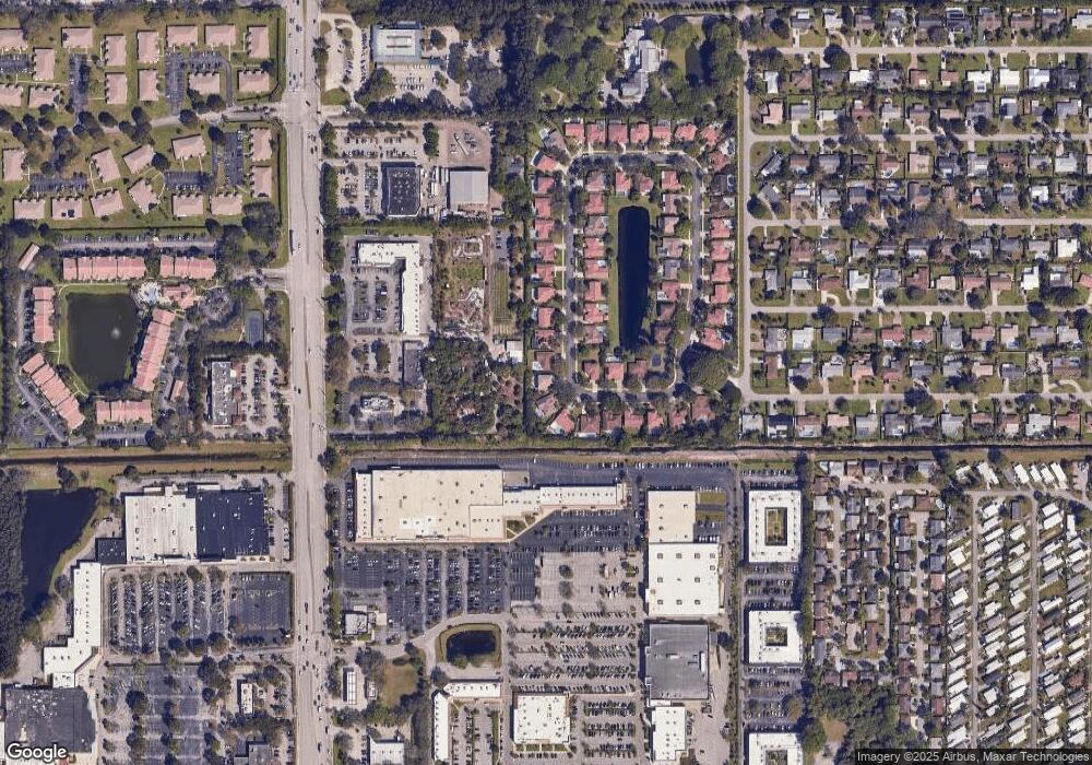
Map
Nearby Homes
- 5042 Lakefront Blvd Unit A
- 14539 Wood Pine Dr
- 5066 Lakefront Blvd Unit B
- 4694 Brady Blvd
- 4935 NW 2nd St Unit A
- 4935 NW 2nd St Unit D
- 14567 Sunset Dr
- 4605 Frances Dr
- 5091 Lakefront Blvd Unit D
- 5091 Lakefront Blvd Unit C
- 5073 Lakefront Blvd Unit D
- 5073 Lakefront Blvd Unit C
- 14577 Glenview Dr
- 14578 Glenview Dr
- 14412 Canalview Dr Unit C
- 14553 Elmhurst Dr
- 5165 NW 3rd St Unit A
- 5174 Lakefront Blvd Unit C
- 5170 NW 3rd Ct Unit C
- 5245 NW 3rd St Unit D
Your Personal Tour Guide
Ask me questions while you tour the home.