1020 Cannon Ln Summit, MS 39666
Estimated Value: $208,000 - $400,000
4
Beds
3
Baths
2,700
Sq Ft
$118/Sq Ft
Est. Value
About This Home
This home is located at 1020 Cannon Ln, Summit, MS 39666 and is currently estimated at $317,622, approximately $117 per square foot. 1020 Cannon Ln is a home located in Pike County with nearby schools including North Pike Elementary School, North Pike Middle School, and North Pike Senior High School.
Ownership History
Date
Name
Owned For
Owner Type
Purchase Details
Closed on
Nov 16, 2005
Sold by
Ward Bobby G and Ward Ottis L
Bought by
Hering Daniel J and Hering Debra
Current Estimated Value
Home Financials for this Owner
Home Financials are based on the most recent Mortgage that was taken out on this home.
Original Mortgage
$239,400
Outstanding Balance
$129,266
Interest Rate
5.9%
Mortgage Type
New Conventional
Estimated Equity
$188,356
Create a Home Valuation Report for This Property
The Home Valuation Report is an in-depth analysis detailing your home's value as well as a comparison with similar homes in the area
Purchase History
| Date | Buyer | Sale Price | Title Company |
|---|---|---|---|
| Hering Daniel J | -- | None Available |
Source: Public Records
Mortgage History
| Date | Status | Borrower | Loan Amount |
|---|---|---|---|
| Open | Hering Daniel J | $239,400 |
Source: Public Records
Tax History
| Year | Tax Paid | Tax Assessment Tax Assessment Total Assessment is a certain percentage of the fair market value that is determined by local assessors to be the total taxable value of land and additions on the property. | Land | Improvement |
|---|---|---|---|---|
| 2025 | $1,695 | $23,583 | $0 | $0 |
| 2024 | $1,720 | $20,022 | $0 | $0 |
| 2023 | $1,683 | $20,022 | $0 | $0 |
| 2022 | $1,659 | $20,022 | $0 | $0 |
| 2021 | $1,655 | $20,022 | $0 | $0 |
| 2020 | $1,763 | $20,787 | $0 | $0 |
| 2019 | $1,721 | $20,787 | $0 | $0 |
| 2018 | $1,709 | $20,787 | $0 | $0 |
| 2017 | $2,317 | $20,787 | $0 | $0 |
| 2016 | $2,010 | $20,787 | $0 | $0 |
| 2015 | $1,721 | $18,615 | $0 | $0 |
| 2014 | $1,677 | $18,616 | $0 | $0 |
| 2013 | -- | $18,616 | $0 | $0 |
Source: Public Records
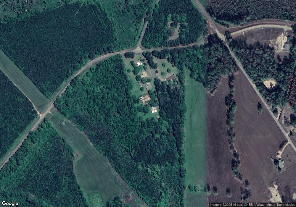
Map
Nearby Homes
- Tbd Hwy 570 River Road N and S
- 0 Lucille Ln
- 2075 Hartwell Rd
- 0 River Rd N
- TBD River Rd N
- 1022 Friendship Cir
- Tbd Atkinson Rd
- 1033 Spike Ln
- 3037 Brandi Rd
- 1073 Hillcrest Farms Ln
- 3174 W Topisaw N
- 0 Rolling Oaks Dr
- 1011 Rolling Oaks Dr
- 2008 Johnston Station Rd
- 1091 Moaks Creek Rd
- 8001 W Topisaw S
- 1053 Johnston Station Rd
- 1037 Boone Rd
- XXX Brewer Ln
- 1086 Mississippi 570
- 1026 Cannon Ln
- 1016 Cannon Ln
- 5160 Highway 570 E
- 6074 Highway 570 E
- 1006 Cannon Ln
- 9046 River Rd S
- 9056 River Rd S
- 9035 River Rd S
- 1042 River Rd N
- 5159 Highway 570 E
- 1119 River Rd N
- 8181 River Rd S
- 8135 River Rd S
- 1112 River Rd N
- 8172 River Rd S
- 1019 David Manning Rd
- 6195 Highway 570 E
- 1020 David Manning Rd
- 7003 Highway 570 E
- 1055 David Manning Rd