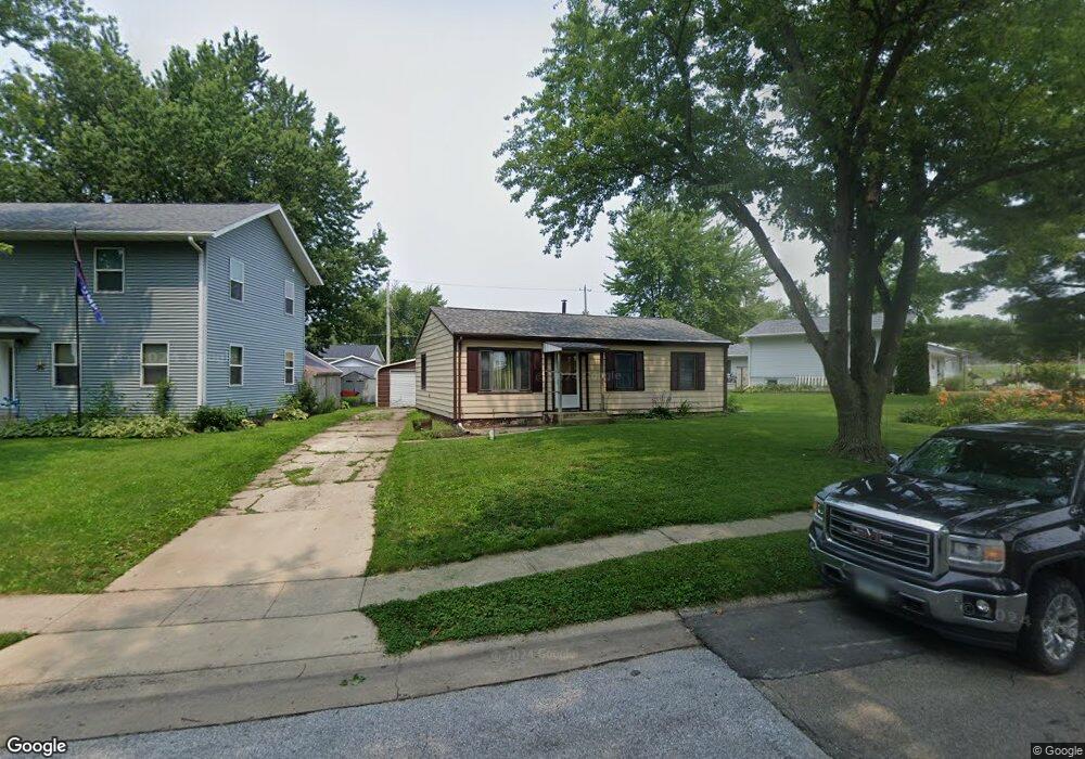
1020 E Grove St Maquoketa, IA 52060
Estimated Value: $215,655 - $279,000
3
Beds
3
Baths
1,802
Sq Ft
$139/Sq Ft
Est. Value
About This Home
This home is located at 1020 E Grove St, Maquoketa, IA 52060 and is currently estimated at $250,664, approximately $139 per square foot. 1020 E Grove St is a home located in Jackson County with nearby schools including Cardinal Elementary School, Briggs Elementary School, and Maquoketa Middle School.
Ownership History
Date
Name
Owned For
Owner Type
Purchase Details
Closed on
Oct 24, 2018
Sold by
B & J Realty Llc
Bought by
Keitel Ronald J and Keitel Patricia L
Current Estimated Value
Home Financials for this Owner
Home Financials are based on the most recent Mortgage that was taken out on this home.
Original Mortgage
$55,000
Interest Rate
3.7%
Mortgage Type
New Conventional
Purchase Details
Closed on
May 4, 2010
Sold by
Keitel Ron J and Keitel Pat L
Bought by
B & J Realty Llc
Create a Home Valuation Report for This Property
The Home Valuation Report is an in-depth analysis detailing your home's value as well as a comparison with similar homes in the area
Home Values in the Area
Average Home Value in this Area
Purchase History
| Date | Buyer | Sale Price | Title Company |
|---|---|---|---|
| Keitel Ronald J | -- | None Available | |
| B & J Realty Llc | $64,027 | None Available |
Source: Public Records
Mortgage History
| Date | Status | Borrower | Loan Amount |
|---|---|---|---|
| Previous Owner | Keitel Ronald J | $55,000 |
Source: Public Records
Tax History Compared to Growth
Tax History
| Year | Tax Paid | Tax Assessment Tax Assessment Total Assessment is a certain percentage of the fair market value that is determined by local assessors to be the total taxable value of land and additions on the property. | Land | Improvement |
|---|---|---|---|---|
| 2025 | $2,812 | $246,700 | $20,200 | $226,500 |
| 2024 | $2,812 | $201,100 | $15,700 | $185,400 |
| 2023 | $3,100 | $213,400 | $15,700 | $197,700 |
| 2022 | $2,984 | $159,500 | $15,700 | $143,800 |
| 2021 | $2,960 | $159,500 | $15,700 | $143,800 |
| 2020 | $2,960 | $152,300 | $15,700 | $136,600 |
| 2019 | $2,940 | $152,300 | $0 | $0 |
| 2018 | $2,778 | $151,300 | $0 | $0 |
| 2017 | $2,562 | $134,800 | $0 | $0 |
| 2016 | $2,466 | $134,800 | $0 | $0 |
| 2015 | $2,466 | $134,800 | $0 | $0 |
| 2014 | $2,506 | $134,800 | $0 | $0 |
Source: Public Records
Map
Nearby Homes
- 1016 E Grove St
- 917 Cardinal Dr
- 1014 E Grove St
- 915 Cardinal Dr
- 1027 E Grove St
- 1025 E Grove St
- 1021 E Grove St
- 1012 E Grove St
- 1019 E Grove St
- 913 Cardinal Dr
- 1017 E Grove St
- 1003 Cardinal Dr
- 1008 E Grove St
- 1015 E Grove St
- 408 Susan Dr
- 916 Cardinal Dr
- 911 Cardinal Dr
- 404 Susan Dr
- 914 Cardinal Dr
- 1005 Cardinal Dr