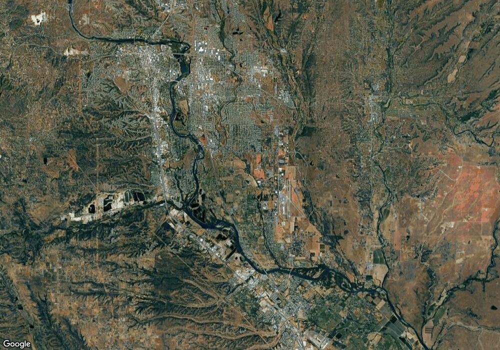
1020 Michael Redding, CA 96002
Enterprise NeighborhoodEstimated Value: $128,312
Studio
--
Bath
--
Sq Ft
8,712
Sq Ft Lot
About This Home
This home is located at 1020 Michael, Redding, CA 96002 and is currently estimated at $128,312. 1020 Michael is a home located in Shasta County with nearby schools including Lassen View Elementary School, Parsons Junior High School, and Enterprise High School.
Ownership History
Date
Name
Owned For
Owner Type
Purchase Details
Closed on
Jan 22, 2008
Sold by
King Edwin W and King Jean M
Bought by
King Edwin W and King Jean M
Current Estimated Value
Purchase Details
Closed on
Jul 23, 2005
Sold by
Lu Taipeng Peter and Lu Hsing Mei
Bought by
King Edwin W and King Jean M
Purchase Details
Closed on
Jun 29, 2004
Sold by
Grino Eliseo G and Grino Elisa H
Bought by
Lu Taipeng Peter and Lu Hsing Mei
Purchase Details
Closed on
Apr 28, 2003
Sold by
Gunner Clermont Inc
Bought by
Grino Eliseo G and Grino Elisa H
Create a Home Valuation Report for This Property
The Home Valuation Report is an in-depth analysis detailing your home's value as well as a comparison with similar homes in the area
Home Values in the Area
Average Home Value in this Area
Purchase History
| Date | Buyer | Sale Price | Title Company |
|---|---|---|---|
| King Edwin W | -- | None Available | |
| King Edwin W | $95,000 | First American Title Co | |
| Lu Taipeng Peter | $55,000 | -- | |
| Grino Eliseo G | $22,000 | Chicago Title Co |
Source: Public Records
Tax History Compared to Growth
Tax History
| Year | Tax Paid | Tax Assessment Tax Assessment Total Assessment is a certain percentage of the fair market value that is determined by local assessors to be the total taxable value of land and additions on the property. | Land | Improvement |
|---|---|---|---|---|
| 2025 | $878 | $80,000 | $80,000 | -- |
| 2024 | $884 | $80,000 | $80,000 | -- |
| 2023 | $884 | $80,000 | $80,000 | $0 |
| 2022 | $876 | $80,000 | $80,000 | $0 |
| 2021 | $809 | $75,000 | $75,000 | $0 |
| 2020 | $814 | $75,000 | $75,000 | $0 |
| 2019 | $824 | $75,000 | $75,000 | $0 |
| 2018 | $830 | $75,000 | $75,000 | $0 |
| 2017 | $862 | $75,000 | $75,000 | $0 |
| 2016 | $768 | $70,000 | $70,000 | $0 |
| 2015 | $773 | $70,000 | $70,000 | $0 |
| 2014 | $727 | $65,000 | $65,000 | $0 |
Source: Public Records
Map
Nearby Homes
- 3703 Harrow Ct
- 3911 Roesner Ave
- 3527 Adams Ln
- 952 Camino Ct
- 3540 Ricardo Ave
- 3896 Cambria Dr
- 3708 Traverse St
- 3428 Adams Ln
- 4218 Jane St
- 1209 C St
- 564 Estate St
- 3348 School St
- 4323 Churn Crk Rd
- 723 Woodacre Dr
- 1091 Del Sol Place
- 1118 4th St
- 3628 Somerset Ave
- 3178 Lawrence Rd
- 3293 Middleton Ln
- 3283 Middleton Ln
- 1040 Michael Ln
- 3747 Churn Creek Rd
- 1025 Michael Ln
- 3745 Churn Creek Rd
- 3741 Churn Creek Rd
- 0 Michael Ln
- 3737, 3739 Churn Creek 2
- 3859 Churn Creek Rd
- 1052 de Moll Dr
- 1060 de Moll Dr
- 1070 de Moll Dr
- 3872 Churn Creek Rd
- 3733 Churn Creek Rd
- 1082 de Moll Dr
- 3736 Churn Creek Rd
- 950 de Moll Dr
- 950 de Moll Dr
- 3739 Churn Creek Rd
- 3737 Churn Creek Rd
- 1051 de Moll Dr
