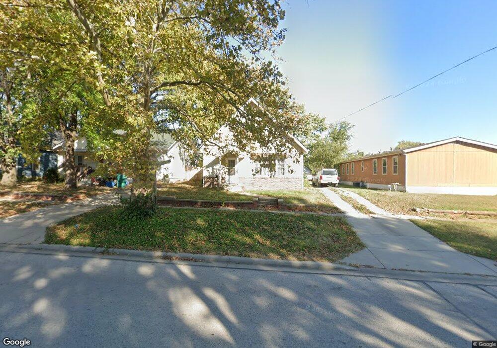
1020 Pacific Ave Osawatomie, KS 66064
Estimated Value: $185,000 - $221,000
4
Beds
2
Baths
2,095
Sq Ft
$97/Sq Ft
Est. Value
About This Home
This home is located at 1020 Pacific Ave, Osawatomie, KS 66064 and is currently estimated at $202,379, approximately $96 per square foot. 1020 Pacific Ave is a home located in Miami County with nearby schools including Swenson Early Childhood Education Center, Trojan Elementary School, and Osawatomie Middle School.
Ownership History
Date
Name
Owned For
Owner Type
Purchase Details
Closed on
Sep 17, 2021
Sold by
Kay Barker Pamela
Bought by
Barker Charles Ray
Current Estimated Value
Create a Home Valuation Report for This Property
The Home Valuation Report is an in-depth analysis detailing your home's value as well as a comparison with similar homes in the area
Home Values in the Area
Average Home Value in this Area
Purchase History
| Date | Buyer | Sale Price | Title Company |
|---|---|---|---|
| Barker Charles Ray | -- | None Listed On Document |
Source: Public Records
Tax History Compared to Growth
Tax History
| Year | Tax Paid | Tax Assessment Tax Assessment Total Assessment is a certain percentage of the fair market value that is determined by local assessors to be the total taxable value of land and additions on the property. | Land | Improvement |
|---|---|---|---|---|
| 2025 | $3,917 | $22,414 | $779 | $21,635 |
| 2024 | $3,917 | $21,760 | $698 | $21,062 |
| 2023 | $3,786 | $20,529 | $659 | $19,870 |
| 2022 | $2,885 | $14,870 | $818 | $14,052 |
| 2021 | $1,285 | $0 | $0 | $0 |
| 2020 | $2,147 | $0 | $0 | $0 |
| 2019 | $1,936 | $0 | $0 | $0 |
| 2018 | $1,891 | $0 | $0 | $0 |
| 2017 | $1,844 | $0 | $0 | $0 |
| 2016 | -- | $0 | $0 | $0 |
| 2015 | -- | $0 | $0 | $0 |
| 2014 | -- | $0 | $0 | $0 |
| 2013 | -- | $0 | $0 | $0 |
Source: Public Records
Map
Nearby Homes
- 934 Pacific St
- 716 10th St
- 931 Pacific St
- 1015 Main St
- 1109 Main St
- 1111 Main St
- 1117 Walnut Ave
- 900 Walnut Ave
- 903 Walnut Ave
- 835 Brown Ave
- 827 Pacific Ave
- 800 Pacific Ave
- 816 Chestnut St
- 721 Pacific Ave
- 736 Brown Ave
- 805 Chestnut Ave
- 901 Chestnut Ave
- 714 Chestnut Ave
- 711 Pacific Ave
- 1324 Pacific Ave
- 1026 Pacific Ave
- 1028 Pacific Ave
- 1028 W Pacific Ave
- 1030 Pacific Ave
- 1021 Brown Ave
- 1025 Brown Ave
- 1029 Brown Ave
- 1040 Pacific Ave
- 1035 Brown Ave
- 1025 Pacific Ave
- 1017 Pacific Ave
- 1029 Pacific Ave
- 1046 Pacific Ave
- 1037 Brown Ave
- 700 10th St
- 1037 Pacific Ave
- 1041 Brown Ave
- 1009 Pacific Ave
- 704 10th St
- 1043 Pacific Ave