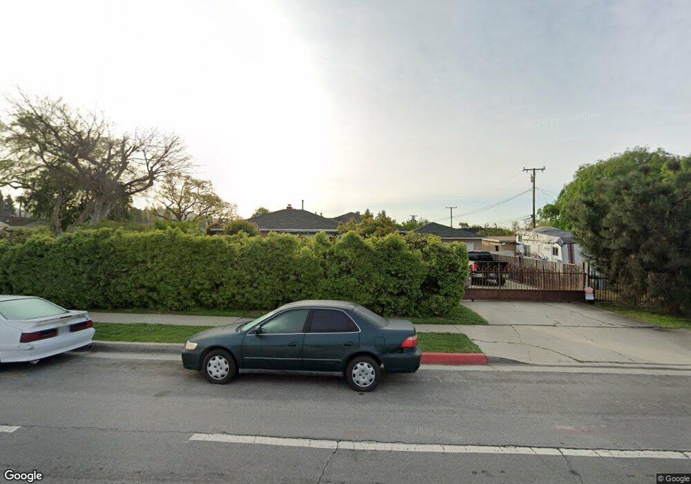
10204 Sherrill St Whittier, CA 90601
West Whittier NeighborhoodEstimated Value: $893,000 - $957,000
3
Beds
1
Bath
1,829
Sq Ft
$504/Sq Ft
Est. Value
About This Home
This home is located at 10204 Sherrill St, Whittier, CA 90601 and is currently estimated at $922,512, approximately $504 per square foot. 10204 Sherrill St is a home located in Los Angeles County with nearby schools including Orange Grove Elementary School, Walter F. Dexter Middle School, and Whittier High School.
Ownership History
Date
Name
Owned For
Owner Type
Purchase Details
Closed on
Sep 13, 1999
Sold by
Baba Raymond M and Baba Kathy S
Bought by
Hernandez Ricardo
Current Estimated Value
Home Financials for this Owner
Home Financials are based on the most recent Mortgage that was taken out on this home.
Original Mortgage
$219,450
Outstanding Balance
$64,809
Interest Rate
7.77%
Estimated Equity
$857,703
Create a Home Valuation Report for This Property
The Home Valuation Report is an in-depth analysis detailing your home's value as well as a comparison with similar homes in the area
Home Values in the Area
Average Home Value in this Area
Purchase History
| Date | Buyer | Sale Price | Title Company |
|---|---|---|---|
| Hernandez Ricardo | $231,000 | Fidelity National Title Co |
Source: Public Records
Mortgage History
| Date | Status | Borrower | Loan Amount |
|---|---|---|---|
| Open | Hernandez Ricardo | $219,450 |
Source: Public Records
Tax History Compared to Growth
Tax History
| Year | Tax Paid | Tax Assessment Tax Assessment Total Assessment is a certain percentage of the fair market value that is determined by local assessors to be the total taxable value of land and additions on the property. | Land | Improvement |
|---|---|---|---|---|
| 2025 | $4,817 | $355,018 | $189,805 | $165,213 |
| 2024 | $4,817 | $348,058 | $186,084 | $161,974 |
| 2023 | $4,490 | $341,235 | $182,436 | $158,799 |
| 2022 | $4,670 | $334,545 | $178,859 | $155,686 |
| 2021 | $4,562 | $327,986 | $175,352 | $152,634 |
| 2019 | $4,459 | $318,258 | $170,151 | $148,107 |
| 2018 | $4,277 | $312,018 | $166,815 | $145,203 |
| 2016 | $4,107 | $299,904 | $160,339 | $139,565 |
| 2015 | $4,009 | $295,400 | $157,931 | $137,469 |
| 2014 | $3,940 | $289,615 | $154,838 | $134,777 |
Source: Public Records
Map
Nearby Homes
- 5523 Pioneer Blvd Unit 30
- 5577 Pioneer Blvd Unit 5
- 5593 Pioneer Blvd Unit 12
- 5593 Pioneer Blvd Unit 18
- 10050 Obregon St
- 9900 Tagus St Unit 30
- 5729 Juarez Ave
- 10605 Cordoba Ct
- 5107 Vista Verde Way
- 5115 Castelotte Ct
- 5315 Bihr Ct
- 5307 Woodward Ln
- 5903 Redman Ave
- 9943 Noyes St
- 3930 Miguel Ave
- 11511 Beverly Dr
- 9338 Via Azul
- 9341 Via Azul
- Plan 1560 at Azul
- Plan 1680 at Azul
- 10210 Sherrill St
- 10203 Brian Ct
- 10216 Sherrill St
- 10211 Brian Ct
- 5461 Pioneer Blvd
- 5463 Pioneer Blvd
- 10215 Brian Ct
- 10205 Sherrill St
- 5473 Pioneer Blvd
- 10222 Sherrill St
- 10209 Sherrill St
- 5447 Pioneer Blvd
- 5475 Pioneer Blvd
- 5455 Pioneer Blvd
- 5449 Pioneer Blvd
- 10219 Brian Ct
- 10217 Sherrill St
- 5477 Pioneer Blvd Unit 27
- 5451 Pioneer Blvd Unit 1
- 5451 Pioneer Blvd Unit 14