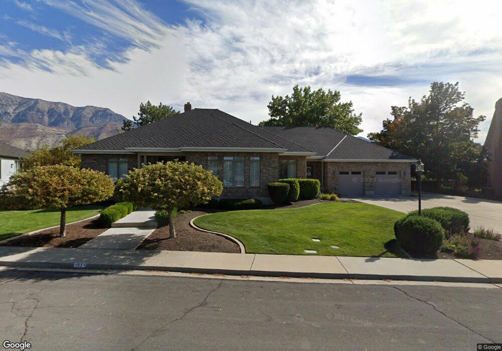
1021 Coventry Cir Orem, UT 84097
Hillcrest NeighborhoodEstimated Value: $1,102,000 - $1,557,220
4
Beds
5
Baths
3,520
Sq Ft
$370/Sq Ft
Est. Value
About This Home
This home is located at 1021 Coventry Cir, Orem, UT 84097 and is currently estimated at $1,302,073, approximately $369 per square foot. 1021 Coventry Cir is a home located in Utah County with nearby schools including Centennial Elementary, Lakeridge Jr High School, and Orem High School.
Ownership History
Date
Name
Owned For
Owner Type
Purchase Details
Closed on
Mar 20, 2026
Sold by
Nelson Claudia
Bought by
Asay Family Trust and Asay
Current Estimated Value
Purchase Details
Closed on
Apr 22, 2020
Sold by
Nelson Claudia G and The Claudia G Nelson Trust
Bought by
Asay Mackay Byron and Asay Robyn
Purchase Details
Closed on
Dec 7, 2016
Sold by
Nelson Claudia G
Bought by
Nelson Claudia G
Purchase Details
Closed on
Aug 15, 2007
Sold by
Cgn Family Llc
Bought by
Nelson Claudia G
Purchase Details
Closed on
Oct 18, 2005
Sold by
Nelson Claudia
Bought by
Cgn Family Llc
Create a Home Valuation Report for This Property
The Home Valuation Report is an in-depth analysis detailing your home's value as well as a comparison with similar homes in the area
Home Values in the Area
Average Home Value in this Area
Purchase History
| Date | Buyer | Sale Price | Title Company |
|---|---|---|---|
| Asay Family Trust | -- | Bartlett Title | |
| Asay Mackay Byron | -- | Real Advantage Title Ins | |
| Nelson Claudia G | -- | None Available | |
| Nelson Claudia G | -- | None Available | |
| Cgn Family Llc | -- | None Available |
Source: Public Records
Tax History
| Year | Tax Paid | Tax Assessment Tax Assessment Total Assessment is a certain percentage of the fair market value that is determined by local assessors to be the total taxable value of land and additions on the property. | Land | Improvement |
|---|---|---|---|---|
| 2025 | $4,744 | $679,855 | -- | -- |
| 2024 | $4,744 | $580,140 | $0 | $0 |
| 2023 | $4,238 | $556,985 | $0 | $0 |
| 2022 | $4,955 | $630,850 | $0 | $0 |
| 2021 | $4,460 | $860,200 | $185,900 | $674,300 |
| 2020 | $4,239 | $803,400 | $148,700 | $654,700 |
| 2019 | $3,703 | $729,800 | $148,700 | $581,100 |
| 2018 | $3,792 | $714,100 | $148,700 | $565,400 |
| 2017 | $3,718 | $375,100 | $0 | $0 |
| 2016 | $3,409 | $317,130 | $0 | $0 |
| 2015 | $3,210 | $282,370 | $0 | $0 |
| 2014 | $2,748 | $240,680 | $0 | $0 |
Source: Public Records
Map
Nearby Homes
- 1035 Coventry Cir
- 882 E 1000 S
- 868 E 1000 S
- 1061 S 890 E
- 1038 Coventry Cir
- 1056 S Palisades Dr
- 1026 Coventry Cir
- 864 E 1000 S
- 1062 S 890 E
- 983 S 870 E
- 1073 S 890 E
- 1055 S Palisades Dr
- 1015 S 1000 E
- 867 E 1000 S
- 1072 S Palisades Dr
- 863 E 1000 S
- 1074 S 890 E
- 1071 S Palisades Dr
- 973 S 870 E
- 970 S 925 E
Your Personal Tour Guide
Ask me questions while you tour the home.