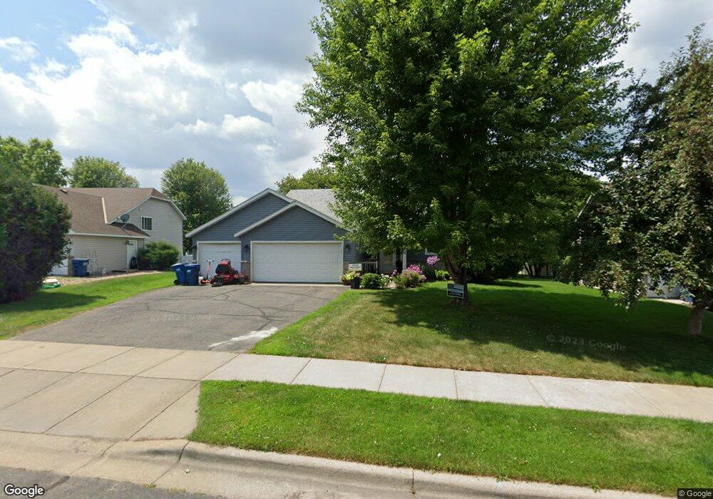
1021 Hillside Rd Sauk Rapids, MN 56379
Estimated Value: $299,027 - $360,000
4
Beds
2
Baths
1,104
Sq Ft
$295/Sq Ft
Est. Value
About This Home
This home is located at 1021 Hillside Rd, Sauk Rapids, MN 56379 and is currently estimated at $326,007, approximately $295 per square foot. 1021 Hillside Rd is a home located in Benton County with nearby schools including Mississippi Heights Elementary School, Sauk Rapids-Rice Middle School, and Sauk Rapids-Rice Senior High School.
Ownership History
Date
Name
Owned For
Owner Type
Purchase Details
Closed on
Mar 8, 2011
Sold by
Dusing Kyle D and Dusing Katherine E
Bought by
Dusing Kyle D and Dusing Katherine E
Current Estimated Value
Home Financials for this Owner
Home Financials are based on the most recent Mortgage that was taken out on this home.
Original Mortgage
$87,500
Outstanding Balance
$4,053
Interest Rate
4.85%
Mortgage Type
New Conventional
Estimated Equity
$321,954
Create a Home Valuation Report for This Property
The Home Valuation Report is an in-depth analysis detailing your home's value as well as a comparison with similar homes in the area
Home Values in the Area
Average Home Value in this Area
Purchase History
| Date | Buyer | Sale Price | Title Company |
|---|---|---|---|
| Dusing Kyle D | -- | -- |
Source: Public Records
Mortgage History
| Date | Status | Borrower | Loan Amount |
|---|---|---|---|
| Open | Dusing Kyle D | $87,500 |
Source: Public Records
Tax History Compared to Growth
Tax History
| Year | Tax Paid | Tax Assessment Tax Assessment Total Assessment is a certain percentage of the fair market value that is determined by local assessors to be the total taxable value of land and additions on the property. | Land | Improvement |
|---|---|---|---|---|
| 2025 | $3,358 | $281,300 | $32,700 | $248,600 |
| 2024 | $3,366 | $278,900 | $32,700 | $246,200 |
| 2023 | $3,208 | $285,900 | $32,700 | $253,200 |
| 2022 | $2,956 | $251,600 | $29,700 | $221,900 |
| 2021 | $2,692 | $214,600 | $29,700 | $184,900 |
| 2018 | $2,294 | $153,600 | $25,088 | $128,512 |
| 2017 | $2,294 | $139,200 | $24,590 | $114,610 |
| 2016 | $2,234 | $158,000 | $28,600 | $129,400 |
| 2015 | $2,206 | $121,200 | $23,840 | $97,360 |
| 2014 | -- | $115,500 | $23,578 | $91,922 |
| 2013 | -- | $116,900 | $23,645 | $93,255 |
Source: Public Records
Map
Nearby Homes
- 1424 Hillside Ct
- 1408 10th St NE
- 1000 10th Ave NE
- 1294 Stone Ridge Rd
- 1 Skyview Dr
- 1021 5th St S
- xxx Lot 3
- 1930 Prospect Dr NE
- 1804 8th Ave S
- 1803 8th Ave S
- 116 Columbia Ave NE
- 1526 Prairie View Ln NE
- 608 Summit Ave S
- 117 Columbia Ave NE
- 100 9th Ave S
- 2148 Morningside Dr NE
- 20 Columbia Ave SE
- xxx Lot 2
- 970 Golden Spike Rd NE
- 430 5th Ave NE
- 1025 Hillside Rd
- 1017 Hillside Rd
- 1024 Brook Ct
- 1013 Hillside Rd
- 1020 Hillside Rd
- 1020 Brook Ct
- 1016 Hillside Rd
- 1010 Brook Ct
- 1028 Brook Ct
- 1009 Hillside Rd
- 1028 Hillside Rd
- 1010 Hillside Rd
- 1006 Brook Ct
- 1107 Hillside Rd
- 1005 Hillside Rd
- 1108 Hillside Rd
- 1015 Meadows Dr
- 1019 Brook Ct
- 1023 Meadows Dr
- 1409 Hillside Ct