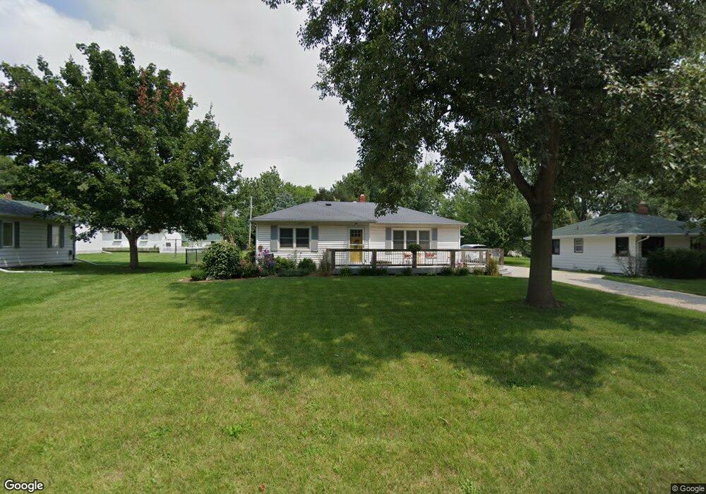
1021 Maple Ave Norwalk, IA 50211
Estimated Value: $212,000 - $235,461
4
Beds
3
Baths
1,040
Sq Ft
$215/Sq Ft
Est. Value
About This Home
This home is located at 1021 Maple Ave, Norwalk, IA 50211 and is currently estimated at $223,615, approximately $215 per square foot. 1021 Maple Ave is a home located in Warren County with nearby schools including Oviatt Elementary School, Orchard Hills Elementary School, and Lakewood Elementary School.
Ownership History
Date
Name
Owned For
Owner Type
Purchase Details
Closed on
Jun 25, 2018
Sold by
Lear Susan M and Landis Susan M
Bought by
Lear Susan M
Current Estimated Value
Home Financials for this Owner
Home Financials are based on the most recent Mortgage that was taken out on this home.
Original Mortgage
$104,000
Outstanding Balance
$62,368
Interest Rate
4.5%
Mortgage Type
New Conventional
Estimated Equity
$161,247
Purchase Details
Closed on
May 25, 2007
Sold by
Mees Eugene L and Mees Shirley G
Bought by
Landis Susan M
Home Financials for this Owner
Home Financials are based on the most recent Mortgage that was taken out on this home.
Original Mortgage
$103,920
Interest Rate
6.22%
Mortgage Type
New Conventional
Create a Home Valuation Report for This Property
The Home Valuation Report is an in-depth analysis detailing your home's value as well as a comparison with similar homes in the area
Home Values in the Area
Average Home Value in this Area
Purchase History
| Date | Buyer | Sale Price | Title Company |
|---|---|---|---|
| Lear Susan M | -- | Boston National Title Agency | |
| Landis Susan M | -- | None Available |
Source: Public Records
Mortgage History
| Date | Status | Borrower | Loan Amount |
|---|---|---|---|
| Open | Lear Susan M | $104,000 | |
| Closed | Landis Susan M | $103,920 |
Source: Public Records
Tax History Compared to Growth
Tax History
| Year | Tax Paid | Tax Assessment Tax Assessment Total Assessment is a certain percentage of the fair market value that is determined by local assessors to be the total taxable value of land and additions on the property. | Land | Improvement |
|---|---|---|---|---|
| 2025 | $3,202 | $202,300 | $41,500 | $160,800 |
| 2024 | $3,192 | $180,100 | $34,900 | $145,200 |
| 2023 | $3,384 | $180,100 | $34,900 | $145,200 |
| 2022 | $3,372 | $160,200 | $34,900 | $125,300 |
| 2021 | $3,404 | $160,200 | $34,900 | $125,300 |
| 2020 | $3,404 | $152,500 | $34,900 | $117,600 |
| 2019 | $2,708 | $152,500 | $34,900 | $117,600 |
| 2018 | $2,620 | $120,800 | $0 | $0 |
| 2017 | $2,620 | $120,800 | $0 | $0 |
| 2016 | $2,582 | $116,200 | $0 | $0 |
| 2015 | $2,582 | $116,200 | $0 | $0 |
| 2014 | $2,522 | $113,400 | $0 | $0 |
Source: Public Records
Map
Nearby Homes
- 902 School Ave
- 500 W Walnut Place
- 1000 North Ave
- 711 Wright Rd
- 734 Wright Rd
- 735 Wright Rd
- 728 Wright Rd
- 729 Wright Rd
- The Trend Setter Plan at Sunset Estates
- Jefferson Plan at Sunset Estates
- The Urban Prairie Plan at Sunset Estates
- Reagan Plan at Sunset Estates
- Fillmore Plan at Sunset Estates
- Harrison III Plan at Sunset Estates
- The Grand Gianna Plan at Sunset Estates
- Hoover B Plan at Sunset Estates
- The Way Cool Plan at Sunset Estates
- Hoover Plan at Sunset Estates
- Eisenhower Plan at Sunset Estates
- Grant Plan at Sunset Estates