1021 Quin Ln McComb, MS 39648
Estimated Value: $128,000 - $208,539
--
Bed
--
Bath
2,114
Sq Ft
$84/Sq Ft
Est. Value
About This Home
This home is located at 1021 Quin Ln, McComb, MS 39648 and is currently estimated at $178,385, approximately $84 per square foot. 1021 Quin Ln is a home with nearby schools including Eva Gordon Lower Elementary School, Osyka Elementary School, and South Pike Junior High School.
Ownership History
Date
Name
Owned For
Owner Type
Purchase Details
Closed on
Jan 30, 2009
Sold by
Felder Vernell and Felder Benniea Maria
Bought by
Weatherspoon Michael D and Weatherspoon Adelia D
Current Estimated Value
Home Financials for this Owner
Home Financials are based on the most recent Mortgage that was taken out on this home.
Original Mortgage
$114,100
Interest Rate
5.23%
Mortgage Type
New Conventional
Create a Home Valuation Report for This Property
The Home Valuation Report is an in-depth analysis detailing your home's value as well as a comparison with similar homes in the area
Home Values in the Area
Average Home Value in this Area
Purchase History
| Date | Buyer | Sale Price | Title Company |
|---|---|---|---|
| Weatherspoon Michael D | -- | First American Title |
Source: Public Records
Mortgage History
| Date | Status | Borrower | Loan Amount |
|---|---|---|---|
| Closed | Weatherspoon Michael D | $114,100 |
Source: Public Records
Tax History Compared to Growth
Tax History
| Year | Tax Paid | Tax Assessment Tax Assessment Total Assessment is a certain percentage of the fair market value that is determined by local assessors to be the total taxable value of land and additions on the property. | Land | Improvement |
|---|---|---|---|---|
| 2025 | $1,335 | $14,954 | $0 | $0 |
| 2024 | $1,335 | $12,695 | $0 | $0 |
| 2023 | $1,284 | $12,695 | $0 | $0 |
| 2022 | $1,267 | $12,695 | $0 | $0 |
| 2021 | $1,099 | $11,743 | $0 | $0 |
| 2020 | $1,142 | $11,819 | $0 | $0 |
| 2019 | $1,116 | $11,819 | $0 | $0 |
| 2018 | $1,085 | $11,819 | $0 | $0 |
| 2017 | $1,107 | $11,819 | $0 | $0 |
| 2016 | $1,106 | $11,819 | $0 | $0 |
| 2015 | -- | $11,416 | $0 | $0 |
| 2014 | -- | $17,124 | $0 | $0 |
| 2013 | -- | $17,124 | $0 | $0 |
Source: Public Records
Map
Nearby Homes
- 1031 Beck St
- 4022 Old Highway 24 Extension
- 1074 Pleasant Grove Rd
- 4134 U S 98
- 5089 U S 98
- 4115 Old Hwy 24
- 1041 Fortenberry Cir
- 1106 Harrison Dr
- 0 Gibson Rd and Fortenberry Cir Unit 4128519
- 6121 Gibson Rd
- XXX Wa Walker Rd
- 7020 Gibson Rd
- 1002 Lawson Rd
- Tbd Union Church Rd Unit LotWP001
- 2147 McComb Holmesville Rd
- No Integrity Rd
- 0 Integrity Rd
- 2159 Oakdale Rd
- 3033 Barto Leggett Rd
- X Wild Estate
- 1014 Roberts St
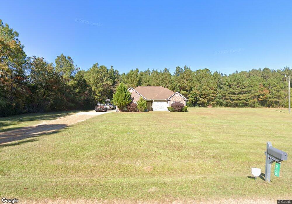
- 1020 Quin Ln
- 0000 Robert St
- 2032 Pleasant Grove Rd
- 1031 Quin Ln
- 1030 Quin Ln
- 1063 Quin Ln
- 0 Quin Ln
- 2023 Pleasant Grove Rd
- 2052 Pleasant Grove Rd
- 1036 Quin Ln
- 1024 Roberts St
- 2016 Pleasant Grove Rd
- 2050 Pleasant Grove Rd
- 1041 Quin Ln
- 2029 Pleasant Grove Rd
- 1078 Quin Ln
- 2037 Pleasant Grove Rd
- 2012 Pleasant Grove Rd
- 2053 Pleasant Grove Rd