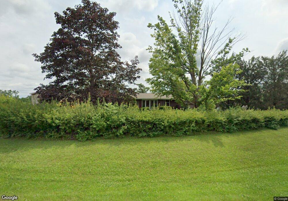
10211 Hall Rd Cedar Rapids, IA 52411
Estimated Value: $329,000 - $372,000
3
Beds
3
Baths
1,304
Sq Ft
$264/Sq Ft
Est. Value
About This Home
This home is located at 10211 Hall Rd, Cedar Rapids, IA 52411 and is currently estimated at $344,902, approximately $264 per square foot. 10211 Hall Rd is a home located in Linn County with nearby schools including Alburnett Elementary School, Alburnett Junior/Senior High School, and Essential Montessori School.
Ownership History
Date
Name
Owned For
Owner Type
Purchase Details
Closed on
Jun 8, 2010
Sold by
Vinson Thomas Noel and Vinson Karen Nan
Bought by
Fulk Scott D and Fulk Tamara R
Current Estimated Value
Home Financials for this Owner
Home Financials are based on the most recent Mortgage that was taken out on this home.
Original Mortgage
$160,554
Outstanding Balance
$108,025
Interest Rate
5.05%
Mortgage Type
New Conventional
Estimated Equity
$236,877
Create a Home Valuation Report for This Property
The Home Valuation Report is an in-depth analysis detailing your home's value as well as a comparison with similar homes in the area
Purchase History
| Date | Buyer | Sale Price | Title Company |
|---|---|---|---|
| Fulk Scott D | $169,000 | None Available |
Source: Public Records
Mortgage History
| Date | Status | Borrower | Loan Amount |
|---|---|---|---|
| Open | Fulk Scott D | $160,554 |
Source: Public Records
Tax History
| Year | Tax Paid | Tax Assessment Tax Assessment Total Assessment is a certain percentage of the fair market value that is determined by local assessors to be the total taxable value of land and additions on the property. | Land | Improvement |
|---|---|---|---|---|
| 2025 | $3,304 | $304,900 | $54,000 | $250,900 |
| 2024 | $3,072 | $281,600 | $59,700 | $221,900 |
| 2023 | $3,072 | $281,600 | $59,700 | $221,900 |
| 2022 | $3,046 | $223,600 | $59,700 | $163,900 |
| 2021 | $3,048 | $223,600 | $59,700 | $163,900 |
| 2020 | $3,048 | $211,500 | $44,100 | $167,400 |
| 2019 | $2,664 | $200,900 | $44,100 | $156,800 |
Source: Public Records
Map
Nearby Homes
- 10101 Hall Rd
- 9800 Hall Rd
- 9655 Feather Ridge Rd
- 3551 Mclain Way
- 3534 Reed Rd
- 3678 Mclain Way
- 3553 Mclain Way
- 3676 Mclain Way
- 3660 Mclain Way
- 3674 Mclain Way
- 3664 Mclain Way
- 3012 Prairielight Ct
- 3671 Mclain Way
- 3667 Mclain Way
- 3669 Mclain Way
- 3526 Reed Rd
- 3541 Todd Hills Rd
- 2870 Grassland Ct
- 2879 Grassland Ct
- Lot 23 Feather Ridge Pass
- 10301 Hall Rd
- 10212 Hall Rd
- 10210 Hall Rd
- 10300 Hall Rd
- 10200 Hall Rd
- 10202 Hawks Haven Rd
- 10107 Hall Rd
- 10200 Hawks Haven Rd
- 10304 Hawks Haven Rd
- 10308 Hall Rd
- 10104 Hawks Haven Rd
- 10100 Hawks Haven Rd
- 10101 Hawks Haven Rd
- 10009 Hall Rd
- 10201 Hawks Haven Rd
- 10400 Hawks Haven Rd
- 10009 Hawks Haven Rd
- 10102 Hall Rd
- 10003 Hall Rd
- 10004 Hawks Haven Rd
Your Personal Tour Guide
Ask me questions while you tour the home.