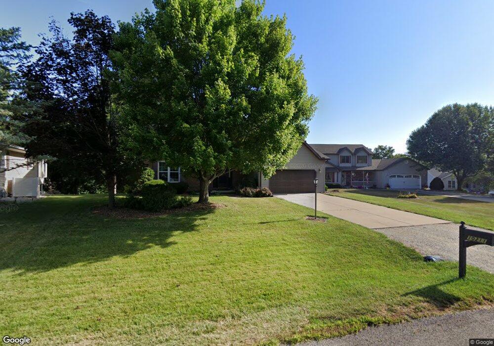
10211 W Guinivere Dr Mapleton, IL 61547
Estimated Value: $328,987 - $361,000
3
Beds
3
Baths
2,032
Sq Ft
$169/Sq Ft
Est. Value
About This Home
This home is located at 10211 W Guinivere Dr, Mapleton, IL 61547 and is currently estimated at $342,747, approximately $168 per square foot. 10211 W Guinivere Dr is a home located in Peoria County with nearby schools including Illini Bluffs Elementary School, Illini Bluffs Middle School, and Illini Bluffs High School.
Ownership History
Date
Name
Owned For
Owner Type
Purchase Details
Closed on
Nov 12, 2021
Sold by
Batterham Chad J and Batterham Jill R
Bought by
Lano Benjamin and Lano Barbara
Current Estimated Value
Home Financials for this Owner
Home Financials are based on the most recent Mortgage that was taken out on this home.
Original Mortgage
$203,600
Outstanding Balance
$186,564
Interest Rate
2.99%
Mortgage Type
New Conventional
Estimated Equity
$156,183
Purchase Details
Closed on
Nov 16, 2004
Bought by
Batterham Chad J and Batterham Jill R
Create a Home Valuation Report for This Property
The Home Valuation Report is an in-depth analysis detailing your home's value as well as a comparison with similar homes in the area
Purchase History
| Date | Buyer | Sale Price | Title Company |
|---|---|---|---|
| Lano Benjamin | $280,000 | Cusack Gilfillan Llc | |
| Batterham Chad J | $210,000 | -- |
Source: Public Records
Mortgage History
| Date | Status | Borrower | Loan Amount |
|---|---|---|---|
| Open | Lano Benjamin | $203,600 |
Source: Public Records
Tax History
| Year | Tax Paid | Tax Assessment Tax Assessment Total Assessment is a certain percentage of the fair market value that is determined by local assessors to be the total taxable value of land and additions on the property. | Land | Improvement |
|---|---|---|---|---|
| 2024 | $7,039 | $90,980 | $14,310 | $76,670 |
| 2023 | $6,538 | $84,240 | $13,250 | $70,990 |
| 2022 | $6,053 | $78,110 | $12,850 | $65,260 |
| 2021 | $5,826 | $75,110 | $12,360 | $62,750 |
| 2020 | $5,663 | $73,640 | $12,120 | $61,520 |
| 2019 | $5,616 | $73,640 | $12,120 | $61,520 |
| 2018 | $5,575 | $73,620 | $12,120 | $61,500 |
| 2017 | $5,587 | $74,360 | $12,240 | $62,120 |
| 2016 | $5,400 | $75,110 | $12,360 | $62,750 |
| 2015 | $4,986 | $73,640 | $12,120 | $61,520 |
| 2014 | $4,876 | $72,370 | $11,910 | $60,460 |
| 2013 | -- | $72,370 | $11,910 | $60,460 |
Source: Public Records
Map
Nearby Homes
- 9913 W Guinivere Dr
- 4304 S Arn Ct
- 409 W Lake Camelot Dr
- 10520 W Sir Durham Ct
- 9522 W Excalibur Ct
- 9517 W Whittingham Point
- 9603 W Littlefield Dr
- 9320 W Lake Camelot Dr
- 9811 W Lake Lancelot Dr
- 9622 W Lancaster Rd
- 5221 S Cameron Ln
- 2922 S Turbett Rd
- 2400 S Cameron Ln
- 0 W Country View Dr
- 3 W Country View Dr
- 6820 W Pfeiffer Rd
- Lot 24 S Baker Ln
- 8109 S Mccumber Rd
- 2409 S Hanna City Glasford Rd
- Lot 1 S Hidden Point Dr
- 10207 W Guinivere Dr
- 10217 W Guinivere Dr
- 10203 W Guinevere
- 10203 W Guinivere Dr
- 4601 S King Arthur Ct
- 4600 S King Arthur Ct
- 10210 W Guinivere Dr
- 10218 W Guinivere Dr
- 10125 W Guinivere Dr
- 4603 S King Arthur Ct
- 10124 W Guinivere Dr
- 4608 S King Arthur Ct
- 10224 W Guinivere Dr
- 10305 W Guinivere Dr
- 10119 W Guinivere Dr
- 4631 S King Arthur Ct
- 4612 S King Arthur Ct
- 4611 S King Arthur Ct
- 4716 S Sir Lancelot Ct
- 4709 S Sir Lancelot Ct
Your Personal Tour Guide
Ask me questions while you tour the home.