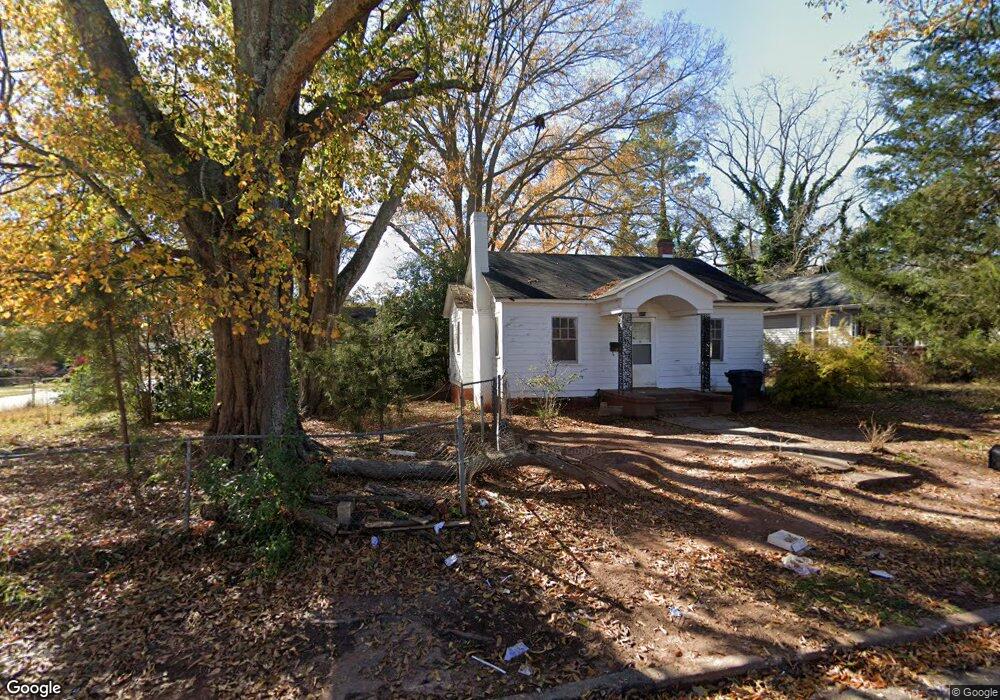
1022 Brock St Anderson, SC 29624
Estimated Value: $102,000 - $177,000
3
Beds
2
Baths
1,000
Sq Ft
$126/Sq Ft
Est. Value
About This Home
This home is located at 1022 Brock St, Anderson, SC 29624 and is currently estimated at $125,803, approximately $125 per square foot. 1022 Brock St is a home located in Anderson County with nearby schools including Nevitt Forest Elementary School, McCants Middle School, and T.L. Hanna High School.
Ownership History
Date
Name
Owned For
Owner Type
Purchase Details
Closed on
Jun 24, 2022
Sold by
K Town Homes Llc
Bought by
Anderson Haus Llc
Current Estimated Value
Purchase Details
Closed on
Jun 21, 2022
Sold by
G Depasquale Pe Llc
Bought by
K Town Homes Llc
Purchase Details
Closed on
Jul 25, 2013
Sold by
Swfl Llc
Bought by
G Depasquale Pe Llc
Purchase Details
Closed on
Jun 4, 2010
Sold by
C & C Realty Partners Llc
Bought by
Nuwave Investors Of Swfl Llc
Purchase Details
Closed on
Oct 24, 2008
Sold by
L & B Rentals
Bought by
C&C Realty Partners Llc
Create a Home Valuation Report for This Property
The Home Valuation Report is an in-depth analysis detailing your home's value as well as a comparison with similar homes in the area
Home Values in the Area
Average Home Value in this Area
Purchase History
| Date | Buyer | Sale Price | Title Company |
|---|---|---|---|
| Anderson Haus Llc | $251,700 | Welch Heather N | |
| Anderson Haus Llc | $251,700 | None Listed On Document | |
| K Town Homes Llc | $200,000 | None Listed On Document | |
| G Depasquale Pe Llc | -- | -- | |
| Nuwave Investors Of Swfl Llc | -- | -- | |
| C&C Realty Partners Llc | $18,500 | -- |
Source: Public Records
Tax History Compared to Growth
Tax History
| Year | Tax Paid | Tax Assessment Tax Assessment Total Assessment is a certain percentage of the fair market value that is determined by local assessors to be the total taxable value of land and additions on the property. | Land | Improvement |
|---|---|---|---|---|
| 2024 | $1,012 | $2,900 | $290 | $2,610 |
| 2023 | $1,012 | $2,900 | $290 | $2,610 |
| 2022 | $577 | $1,320 | $290 | $1,030 |
| 2021 | $532 | $1,060 | $180 | $880 |
| 2020 | $525 | $1,060 | $180 | $880 |
| 2019 | $525 | $1,060 | $180 | $880 |
| 2018 | $520 | $1,060 | $180 | $880 |
| 2017 | -- | $1,060 | $180 | $880 |
| 2016 | $499 | $1,020 | $180 | $840 |
| 2015 | $500 | $1,020 | $180 | $840 |
| 2014 | $490 | $1,020 | $180 | $840 |
Source: Public Records
Map
Nearby Homes
- 602 Caughlin Ave
- 405 Washington St
- 1111 E River St
- 106 Riverview Dr
- 1303 E River St
- 1402 Mitchell St
- 910 E Whitner St
- 525 Fulwer St
- 509 E Hampton St
- 902 E Whitner St
- 905 E Whitner St
- 419 Douglas St
- 519 Thomas St
- 1308 Roadway St
- 404 Short St
- 103 Farmer St
- 912 Pickens St
- 1311 Gilmer St
- 306 Broyles St
- 513 Cleveland Ave
- 502 Caughlin Ave
- 1020 Brock St
- 1018 Brock St
- 501 Caughlin Ave
- 504 Caughlin Ave Unit 506
- 503 Caughlin Ave
- 505 Caughlin Ave
- 506 Caughlin Ave
- 415 Caughlin Ave
- 1023 Brock St
- 0 Brock St
- 1016 Brock St
- 507 Caughlin Ave
- 1017 Brock St
- 1017 Elizabeth St
- 1015 Brock St
- 1021 Elizabeth St
- 1015 Elizabeth St
- 511 Caughlin Ave
- 411 Caughlin Ave