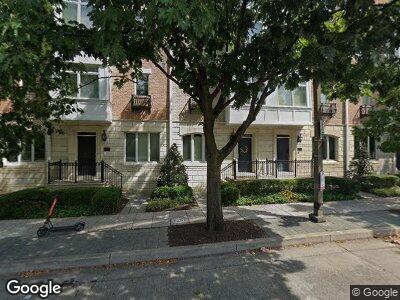
1022 E Key Hwy Baltimore, MD 21230
Locust Point NeighborhoodEstimated Value: $4,139,800
--
Bed
--
Bath
14,088
Sq Ft
$294/Sq Ft
Est. Value
About This Home
This home is located at 1022 E Key Hwy, Baltimore, MD 21230 and is currently priced at $4,139,800, approximately $293 per square foot. 1022 E Key Hwy is a home located in Baltimore City with nearby schools including Francis Scott Key Elementary/Middle School, Booker T. Washington Middle School, and Paul Laurence Dunbar Community High School.
Ownership History
Date
Name
Owned For
Owner Type
Purchase Details
Closed on
Jan 31, 2022
Sold by
American Sugar Refining Inc
Bought by
Asr Baltimore Refinery Llc
Current Estimated Value
Purchase Details
Closed on
Apr 22, 2005
Sold by
1022 Khe Llc
Bought by
American Sugar Trucking Inc
Purchase Details
Closed on
May 2, 1997
Sold by
Zepp Charles R
Bought by
1022 Khe Llc
Purchase Details
Closed on
Nov 27, 1996
Sold by
Zepp Charles R
Bought by
Zepp Charles R and Hovermale Beverly J
Create a Home Valuation Report for This Property
The Home Valuation Report is an in-depth analysis detailing your home's value as well as a comparison with similar homes in the area
Home Values in the Area
Average Home Value in this Area
Purchase History
| Date | Buyer | Sale Price | Title Company |
|---|---|---|---|
| Asr Baltimore Refinery Llc | -- | None Listed On Document | |
| American Sugar Trucking Inc | $1,456,815 | -- | |
| American Sugar Trucking Inc | $1,400,000 | -- | |
| 1022 Khe Llc | $795,000 | -- | |
| Zepp Charles R | -- | -- |
Source: Public Records
Tax History Compared to Growth
Tax History
| Year | Tax Paid | Tax Assessment Tax Assessment Total Assessment is a certain percentage of the fair market value that is determined by local assessors to be the total taxable value of land and additions on the property. | Land | Improvement |
|---|---|---|---|---|
| 2024 | $19,416 | $826,667 | $0 | $0 |
| 2023 | $19,023 | $809,900 | $400,500 | $409,400 |
| 2022 | $18,824 | $797,633 | $0 | $0 |
| 2021 | $18,535 | $785,367 | $0 | $0 |
| 2020 | $18,245 | $773,100 | $400,500 | $372,600 |
| 2019 | $18,158 | $773,100 | $400,500 | $372,600 |
| 2018 | $18,245 | $773,100 | $400,500 | $372,600 |
| 2017 | $18,543 | $785,700 | $0 | $0 |
| 2016 | $16,184 | $730,767 | $0 | $0 |
| 2015 | $16,184 | $675,867 | $0 | $0 |
| 2014 | $16,184 | $620,900 | $0 | $0 |
Source: Public Records
Map
Nearby Homes
- 1308 Lowman St
- 1317 Lowman St
- 1314 Haubert St
- 1452 Decatur St
- 1421 Decatur St
- 1310 Hull St
- 1421 Haubert St
- 1423 Haubert St
- 1452 Boyle St
- 1428 Hull St
- 1113 Haubert St
- 1232 Cooksie St
- 1436 E Fort Ave
- 1437 E Fort Ave
- 1335 Cooksie St
- 720 E Fort Ave
- 1345 Cooksie St
- 1132 Cooksie St
- 1525 Cuba St
- 1536 Boyle St
- 1022 E Key Hwy
- 1020-1 E Key Hwy
- 1100 E Key Hwy
- 1401 Woodall St
- 1400 Woodall St
- 1404 Woodall St
- 1425 Woodall St
- 1406 Woodall St
- 1427 Woodall St
- 1408 Woodall St
- 1020 E Key Hwy
- 1429 Woodall St
- 1410 Woodall St
- 1412 Woodall St
- 1431 Woodall St
- 1414 Woodall St
- 1000 E Key Hwy
- 1433 Woodall St
- 1416 Woodall St
- 1435 Woodall St
