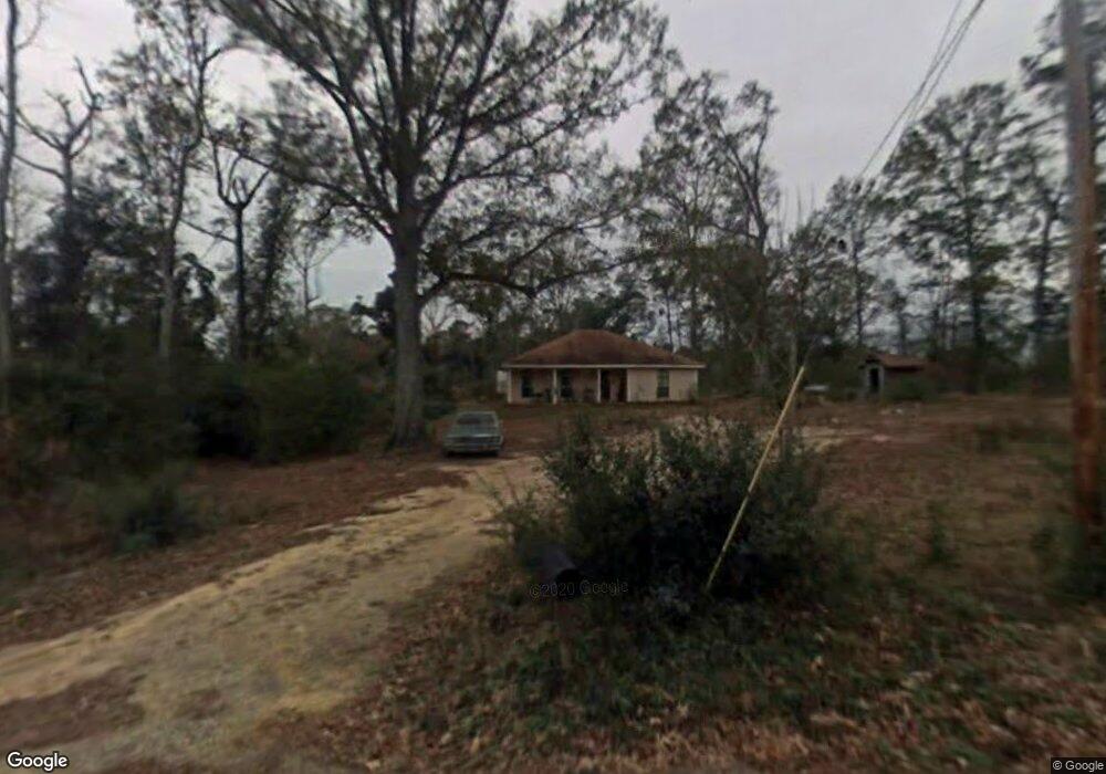
10223 Possum Fork Rd Picayune, MS 39466
Estimated Value: $121,000 - $375,000
2
Beds
1
Bath
1,367
Sq Ft
$174/Sq Ft
Est. Value
About This Home
This home is located at 10223 Possum Fork Rd, Picayune, MS 39466 and is currently estimated at $237,463, approximately $173 per square foot. 10223 Possum Fork Rd is a home located in Hancock County with nearby schools including West Hancock Elementary School, Hancock Middle School, and Hancock High School.
Ownership History
Date
Name
Owned For
Owner Type
Purchase Details
Closed on
Jun 29, 2022
Sold by
Cynthia Rizzo
Bought by
Hancock County
Current Estimated Value
Home Financials for this Owner
Home Financials are based on the most recent Mortgage that was taken out on this home.
Original Mortgage
$7,000
Interest Rate
5.78%
Mortgage Type
New Conventional
Purchase Details
Closed on
Dec 31, 2020
Sold by
Strategic Real Estate Investment Llc
Bought by
Houston John W
Purchase Details
Closed on
Aug 30, 2018
Sold by
Botts William R
Bought by
Foster Victor C and Foster Debra F
Create a Home Valuation Report for This Property
The Home Valuation Report is an in-depth analysis detailing your home's value as well as a comparison with similar homes in the area
Home Values in the Area
Average Home Value in this Area
Purchase History
| Date | Buyer | Sale Price | Title Company |
|---|---|---|---|
| Hancock County | $11,000 | None Listed On Document | |
| Houston John W | -- | None Listed On Document | |
| Foster Victor C | -- | -- | |
| Foster Victor C | -- | None Listed On Document |
Source: Public Records
Mortgage History
| Date | Status | Borrower | Loan Amount |
|---|---|---|---|
| Previous Owner | Houston John W | $7,000 | |
| Previous Owner | Hancock County | $964,949 |
Source: Public Records
Tax History Compared to Growth
Tax History
| Year | Tax Paid | Tax Assessment Tax Assessment Total Assessment is a certain percentage of the fair market value that is determined by local assessors to be the total taxable value of land and additions on the property. | Land | Improvement |
|---|---|---|---|---|
| 2024 | $851 | $8,931 | $1,650 | $7,281 |
| 2023 | $816 | $8,573 | $1,650 | $6,923 |
| 2022 | $1,216 | $12,771 | $2,475 | $10,296 |
| 2021 | $1,216 | $12,771 | $2,475 | $10,296 |
| 2020 | $1,172 | $11,861 | $2,475 | $9,386 |
| 2019 | $1,172 | $11,861 | $2,475 | $9,386 |
| 2018 | $74 | $8,251 | $1,650 | $6,601 |
| 2017 | $74 | $8,251 | $1,650 | $6,601 |
| 2016 | $72 | $8,251 | $1,650 | $6,601 |
| 2015 | $28 | $7,801 | $1,800 | $6,001 |
| 2014 | $25 | $7,780 | $1,800 | $5,980 |
| 2013 | $24 | $7,780 | $1,800 | $5,980 |
Source: Public Records
Map
Nearby Homes
- 11192 Willie Lee Rd
- 27019 Leetown Rd
- 11080 Road 231
- 27261 Varnado Cutoff Rd
- 25541 Broadridge Dr
- 1452d Caesar Necaise Rd
- 1452c Caesar Necaise Rd
- 25215 Karly Dr
- NHN Cypress Place
- 0 Cypress Place Unit 4128643
- 0 Cypress Place Unit 4104178
- 27588 E Lake Cypress Dr
- 00 Caesar Necaise Rd
- 38 Wyatt Ln
- 8460 Mint Julep Dr
- 8405 Mint Julep Dr
- 24327 Rester Rd
- NHN Mint Julep Airpark
- 27201 E Lake Cypress Dr
- 0 E Lake Cypress Dr Unit 4133035
- 999 Possum Fork
- 10279 Possum Fork Rd
- 0 Possum Fork Rd
- 10123 Possum Fork Rd
- 10200 Possum Fork Rd
- 10324 Possum Fork Rd
- 10282 Possum Fork Rd
- 10322 Possum Fork Rd
- 10330 Possum Fork Rd
- 10029 Possum Fork Rd
- 10029 Possum Fork Rd
- 10013 Possum Fork Rd
- 10047 Possum Fork Rd
- 10120 Possum Fork Rd
- 11299 Willie Lee Rd
- 10009 Possum Fork Rd
- 11197 Willie Lee Rd
- 0 Roger Lee Rd
- 9928 Possum Fork Rd
- 11273 Willie Lee Rd