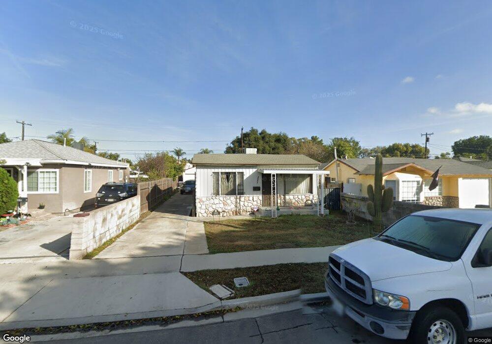
1023 E 71st Way Long Beach, CA 90805
Hamilton NeighborhoodEstimated Value: $616,000 - $699,000
3
Beds
1
Bath
960
Sq Ft
$685/Sq Ft
Est. Value
About This Home
This home is located at 1023 E 71st Way, Long Beach, CA 90805 and is currently estimated at $657,345, approximately $684 per square foot. 1023 E 71st Way is a home located in Los Angeles County with nearby schools including Grant Elementary School, Hamilton Middle School, and Jordan High School.
Ownership History
Date
Name
Owned For
Owner Type
Purchase Details
Closed on
Aug 27, 1997
Sold by
The Secretary Of Veterans Affairs
Bought by
Barnes Kenneth
Current Estimated Value
Home Financials for this Owner
Home Financials are based on the most recent Mortgage that was taken out on this home.
Original Mortgage
$86,900
Outstanding Balance
$13,443
Interest Rate
7.45%
Mortgage Type
VA
Estimated Equity
$643,902
Purchase Details
Closed on
Feb 21, 1997
Sold by
Avaricio Placido and Avaricio Clarita
Bought by
Va
Create a Home Valuation Report for This Property
The Home Valuation Report is an in-depth analysis detailing your home's value as well as a comparison with similar homes in the area
Home Values in the Area
Average Home Value in this Area
Purchase History
| Date | Buyer | Sale Price | Title Company |
|---|---|---|---|
| Barnes Kenneth | $87,000 | None Available | |
| Va | $97,715 | Stewart Title |
Source: Public Records
Mortgage History
| Date | Status | Borrower | Loan Amount |
|---|---|---|---|
| Open | Barnes Kenneth | $86,900 |
Source: Public Records
Tax History
| Year | Tax Paid | Tax Assessment Tax Assessment Total Assessment is a certain percentage of the fair market value that is determined by local assessors to be the total taxable value of land and additions on the property. | Land | Improvement |
|---|---|---|---|---|
| 2025 | $2,547 | $183,596 | $98,185 | $85,411 |
| 2024 | $2,547 | $179,997 | $96,260 | $83,737 |
| 2023 | $2,506 | $176,469 | $94,373 | $82,096 |
| 2022 | $2,366 | $173,010 | $92,523 | $80,487 |
| 2021 | $2,318 | $169,618 | $90,709 | $78,909 |
| 2019 | $2,283 | $164,588 | $88,019 | $76,569 |
| 2018 | $4,341 | $161,362 | $86,294 | $75,068 |
| 2016 | $1,957 | $155,098 | $82,944 | $72,154 |
| 2015 | $1,880 | $152,770 | $81,699 | $71,071 |
| 2014 | $1,870 | $149,778 | $80,099 | $69,679 |
Source: Public Records
Map
Nearby Homes
- 1050 E 72nd St
- 6535 E 72nd St Unit 1
- 6824 Marcelle St
- 16101 Ansmith Ave
- 16600 Orange Ave Unit 124
- 16600 Orange Ave Unit 146
- 16600 Orange Ave Unit 130
- 16600 Orange Ave Unit 48
- 16600 Orange Ave Unit 77
- 6733 Caro St Unit 47
- 16710 Orange Ave Unit A1
- 16710 Orange Ave Unit L59
- 7229 Jackson St
- 6841 Millmark Ave
- 16601 Garfield Ave Unit 91
- 16601 Garfield Ave Unit 110
- 16707 Garfield Ave Unit 1806
- 15351 Orange Ave Unit 17
- 15325 Orange Ave
- 16511 Garfield Ave Unit D40
- 1031 E 71st Way
- 1021 E 71st Way
- 1039 E 71st Way
- 1011 E 71st Way
- 1024 E 72nd St
- 1045 E 71st Way
- 1005 E 71st Way
- 1040 E 72nd St
- 1020 E 72nd St
- 1042 E 72nd St
- 1010 E 72nd St
- 1051 E 71st Way
- 1001 E 71st Way
- 1044 E 72nd St
- 1006 E 72nd St
- 1020 E 71st Way
- 1028 E 71st Way
- 1008 E 71st Way
- 1057 E 71st Way
- 925 E 71st Way
Your Personal Tour Guide
Ask me questions while you tour the home.