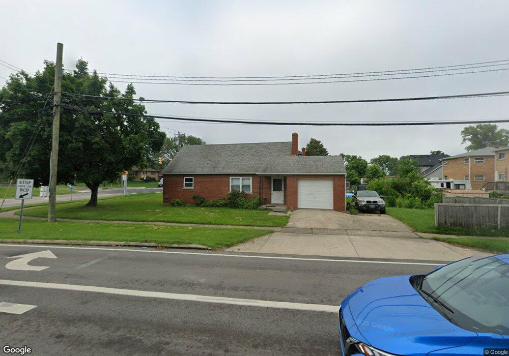
1023 Fuhrman Rd Cincinnati, OH 45215
Estimated Value: $184,092 - $262,000
4
Beds
1
Bath
900
Sq Ft
$247/Sq Ft
Est. Value
About This Home
This home is located at 1023 Fuhrman Rd, Cincinnati, OH 45215 and is currently estimated at $222,273, approximately $246 per square foot. 1023 Fuhrman Rd is a home located in Hamilton County with nearby schools including Reading Community High School, Saints Peter and Paul Academy, and Mount Notre Dame High School.
Ownership History
Date
Name
Owned For
Owner Type
Purchase Details
Closed on
Feb 9, 2023
Sold by
Fletcher Steven G and Fletcher Donna M
Bought by
Smith Donna E and Smith Douglas E
Current Estimated Value
Home Financials for this Owner
Home Financials are based on the most recent Mortgage that was taken out on this home.
Original Mortgage
$76,000
Outstanding Balance
$73,524
Interest Rate
6.12%
Mortgage Type
New Conventional
Estimated Equity
$148,749
Create a Home Valuation Report for This Property
The Home Valuation Report is an in-depth analysis detailing your home's value as well as a comparison with similar homes in the area
Home Values in the Area
Average Home Value in this Area
Purchase History
| Date | Buyer | Sale Price | Title Company |
|---|---|---|---|
| Smith Donna E | $95,000 | -- |
Source: Public Records
Mortgage History
| Date | Status | Borrower | Loan Amount |
|---|---|---|---|
| Open | Smith Donna E | $76,000 |
Source: Public Records
Tax History Compared to Growth
Tax History
| Year | Tax Paid | Tax Assessment Tax Assessment Total Assessment is a certain percentage of the fair market value that is determined by local assessors to be the total taxable value of land and additions on the property. | Land | Improvement |
|---|---|---|---|---|
| 2024 | $3,088 | $59,672 | $10,822 | $48,850 |
| 2023 | $3,135 | $59,672 | $10,822 | $48,850 |
| 2022 | $2,629 | $38,777 | $9,380 | $29,397 |
| 2021 | $2,195 | $38,777 | $9,380 | $29,397 |
| 2020 | $2,219 | $38,777 | $9,380 | $29,397 |
| 2019 | $2,150 | $34,318 | $8,302 | $26,016 |
| 2018 | $2,152 | $34,318 | $8,302 | $26,016 |
| 2017 | $2,028 | $34,318 | $8,302 | $26,016 |
| 2016 | $2,045 | $34,703 | $8,138 | $26,565 |
| 2015 | $2,063 | $34,703 | $8,138 | $26,565 |
| 2014 | $1,805 | $34,703 | $8,138 | $26,565 |
| 2013 | $1,829 | $35,410 | $8,302 | $27,108 |
Source: Public Records
Map
Nearby Homes
- 2071 Longmeadow Ln
- 2127 Longmeadow Ln
- 796 Kenray Ct
- L Apple Ridge Ln
- 636 Maple Dr
- 1246 Thurnridge Dr
- 1194 Fuhrman Rd
- 2558 Apple Ridge Ln
- 2920 E Galbraith Rd
- 0 Hill St Unit 1616370
- 234 Mcguire Ln
- 310 E Vine St
- 1626 Krylon Dr
- 797 4th St
- 2413 Carol Dr
- 2451 Hunt Rd
- 1521 Hunt Rd
- 1684 Sanborn Dr
- 3275 Legacy Trace
- 2598 Maple Tree Ct
- 898 E Columbia Ave
- 894 E Columbia Ave
- 1027 Fuhrman Rd
- 1091 Thurnridge Dr
- 841 Maple Dr
- 890 E Columbia Ave
- 1095 Thurnridge Dr
- 1099 Thurnridge Dr
- 837 Maple Dr
- 886 E Columbia Ave
- 838 Maple Dr
- 1034 Fuhrman Rd
- 1103 Thurnridge Dr
- 882 E Columbia Ave
- 833 Maple Dr
- 1107 Thurnridge Dr
- 832 Maple Dr
- 1037 Fuhrman Rd
- 1090 Thurnridge Dr
- 1038 Fuhrman Rd