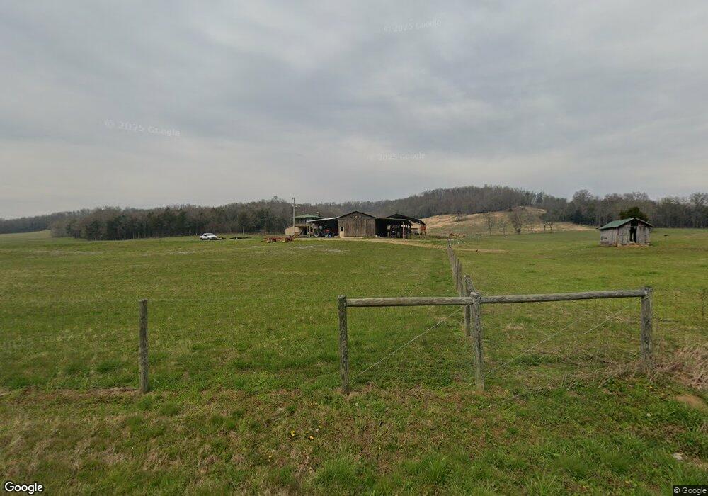
1023 Norton Branch Rd Beechgrove, TN 37018
Estimated Value: $280,000 - $3,210,000
--
Bed
2
Baths
2,896
Sq Ft
$685/Sq Ft
Est. Value
About This Home
This home is located at 1023 Norton Branch Rd, Beechgrove, TN 37018 and is currently estimated at $1,982,897, approximately $684 per square foot. 1023 Norton Branch Rd is a home located in Coffee County with nearby schools including North Coffee Elementary School, Coffee County Middle School, and Coffee County Central High School.
Ownership History
Date
Name
Owned For
Owner Type
Purchase Details
Closed on
Jun 16, 2016
Sold by
Mcknight Lance
Bought by
Lnl Brothers Holding Llc
Current Estimated Value
Purchase Details
Closed on
Aug 3, 2007
Sold by
Mcknight Family Limited
Bought by
Mcknight Lance
Purchase Details
Closed on
Jan 27, 1997
Sold by
Richardson Eva J
Bought by
Mcknight Faye W
Create a Home Valuation Report for This Property
The Home Valuation Report is an in-depth analysis detailing your home's value as well as a comparison with similar homes in the area
Home Values in the Area
Average Home Value in this Area
Purchase History
| Date | Buyer | Sale Price | Title Company |
|---|---|---|---|
| Lnl Brothers Holding Llc | $1,400,000 | -- | |
| Mcknight Lance | -- | -- | |
| Mcknight Faye W | $568,700 | -- |
Source: Public Records
Tax History Compared to Growth
Tax History
| Year | Tax Paid | Tax Assessment Tax Assessment Total Assessment is a certain percentage of the fair market value that is determined by local assessors to be the total taxable value of land and additions on the property. | Land | Improvement |
|---|---|---|---|---|
| 2024 | $5,092 | $218,450 | $113,750 | $104,700 |
| 2023 | $5,092 | $218,450 | $0 | $0 |
| 2022 | $5,092 | $218,450 | $113,750 | $104,700 |
| 2021 | $5,382 | $183,550 | $90,900 | $92,650 |
| 2020 | $5,382 | $183,550 | $90,900 | $92,650 |
| 2019 | $5,382 | $183,550 | $90,900 | $92,650 |
| 2018 | $5,382 | $183,550 | $90,900 | $92,650 |
| 2017 | $5,432 | $166,475 | $86,825 | $79,650 |
| 2016 | $4,929 | $152,250 | $86,825 | $65,425 |
| 2015 | $4,929 | $151,075 | $86,800 | $64,275 |
| 2014 | $4,929 | $151,074 | $0 | $0 |
Source: Public Records
Map
Nearby Homes
- 826 Norton Branch Rd
- 0 Paul Harrell Rd
- 0 Gossburg Rd Unit RTC3007203
- 0 Gossburg Rd Unit RTC2516931
- 0 Gossburg Rd Unit RTC2516930
- 0 Gossburg Rd Unit RTC2516922
- 15717 Manchester Pike
- 2629 Jernigans Branch Rd
- 4C Old U S 41
- 4B Old U S 41
- 4A Old U S 41
- 0 Opossum Paw Rd
- 0 Earl Warren Rd
- 5 Earl Warren Rd
- 139 Bruce Meadows Dr
- 116 Dandelion Ln
- 750 Walker Rd
- 126 Tom Walker Dr
- 1959 French Brantley Rd
- 426 Fern Gully Ln
- 990 Norton Branch Rd
- 1178 Norton Branch Rd
- 0 Norton's Branch Rd Unit RTC2460460
- 0 Norton Br Rd
- 1204 Norton Branch Rd
- 800 Norton Branch Rd
- 1084 Norton Branch Rd
- 1330 Norton Branch Rd
- 720 Norton Branch Rd
- 2 Norton Branch Rd
- 0 Norton Branch Rd
- 1508 Norton Branch Rd
- 214 Heady Hill Ln
- 1751 Norton Branch Rd
- 330 Cedar Bend Rd Unit 366/33
- 1782 Norton Branch Rd
- 1825 Norton Branch Rd
- 455 Cedar Bend Rd
- 1748 Gossburg Rd
- 647 Cedar Bend Rd