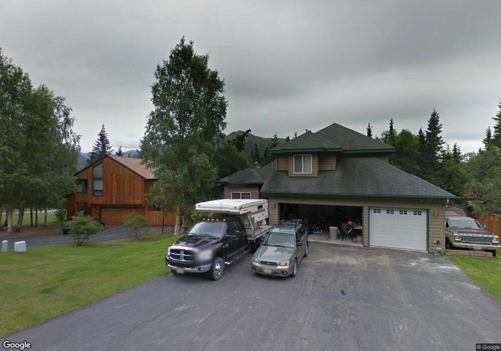
10230 Silvertip Cir Eagle River, AK 99577
Eagle River Valley NeighborhoodEstimated Value: $391,000 - $763,000
4
Beds
4
Baths
3,092
Sq Ft
$208/Sq Ft
Est. Value
About This Home
This home is located at 10230 Silvertip Cir, Eagle River, AK 99577 and is currently estimated at $644,058, approximately $208 per square foot. 10230 Silvertip Cir is a home located in Anchorage Municipality with nearby schools including Ravenwood Elementary School, Gruening Middle School, and Eagle River High School.
Ownership History
Date
Name
Owned For
Owner Type
Purchase Details
Closed on
Mar 13, 2009
Sold by
Morhain Kenneth A and Morhain Kathy A
Bought by
Oistad Wesley K and Oistad Cynthia G
Current Estimated Value
Home Financials for this Owner
Home Financials are based on the most recent Mortgage that was taken out on this home.
Original Mortgage
$386,000
Outstanding Balance
$239,889
Interest Rate
5.03%
Mortgage Type
Purchase Money Mortgage
Estimated Equity
$404,169
Create a Home Valuation Report for This Property
The Home Valuation Report is an in-depth analysis detailing your home's value as well as a comparison with similar homes in the area
Home Values in the Area
Average Home Value in this Area
Purchase History
| Date | Buyer | Sale Price | Title Company |
|---|---|---|---|
| Oistad Wesley K | -- | Stewart |
Source: Public Records
Mortgage History
| Date | Status | Borrower | Loan Amount |
|---|---|---|---|
| Open | Oistad Wesley K | $386,000 |
Source: Public Records
Tax History
| Year | Tax Paid | Tax Assessment Tax Assessment Total Assessment is a certain percentage of the fair market value that is determined by local assessors to be the total taxable value of land and additions on the property. | Land | Improvement |
|---|---|---|---|---|
| 2025 | $8,889 | $659,200 | $136,200 | $523,000 |
| 2024 | $8,889 | $631,600 | $120,500 | $511,100 |
| 2023 | $9,508 | $578,000 | $117,000 | $461,000 |
| 2022 | $8,413 | $557,100 | $113,000 | $444,100 |
| 2021 | $9,119 | $515,500 | $113,000 | $402,500 |
| 2020 | $7,201 | $502,700 | $113,000 | $389,700 |
| 2019 | $7,346 | $507,400 | $113,000 | $394,400 |
| 2018 | $7,154 | $495,200 | $105,000 | $390,200 |
| 2017 | $7,614 | $501,300 | $105,000 | $396,300 |
| 2016 | $6,499 | $487,300 | $99,400 | $387,900 |
| 2015 | $6,499 | $472,900 | $100,500 | $372,400 |
| 2014 | $6,499 | $470,400 | $97,300 | $373,100 |
Source: Public Records
Map
Nearby Homes
- 20608 Lucas Ave
- #1 Mile Hi Way
- 20514 Birch Crest Ln
- 9545 Grey Owl Way
- 20779 Mountain Vista Dr
- L7 Grey Owl Way
- 9621 Nizki Cir
- L2 Grey Owl Way
- 19823 Eagle River Rd
- 20850 Mountainside Dr
- 20610 Mountainside Dr
- 20844 Trailhead Ave Unit 6
- 19817 Belknap Cir
- 20638 Driftwood Bay Dr
- 20239 Glacier Park Cir
- 19861 Highland Ridge Dr
- 19855 Highland Ridge Dr
- 19413 First St
- 8935 Birch Park Cir
- 19950 Driftwood Bay Dr Unit 7
- L9 B2 Silvertip Cir
- 10244 Silvertip Cir
- 21027 Upper Lowland Ave
- 21043 Upper Lowland Ave
- 10225 Silvertip Cir
- 21007 Upper Lowland Ave
- 10245 Silvertip Cir
- 10235 Silvertip Cir
- 10254 Silvertip Cir
- 10255 Silvertip Cir
- 10219 Silvertip Cir
- L3 Upper Lowland Ave
- Lot 3 Upper Lowland Ave
- NHN Upper Lowland Ave
- 20976 Upper Lowland Ave
- 10143 Stewart Dr
- 20975 Upper Lowland Ave
- 21042 Upper Lowland Ave
- 21026 Upper Lowland Ave
- 10336 Stewart Dr
Your Personal Tour Guide
Ask me questions while you tour the home.