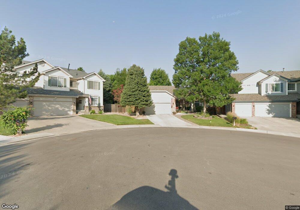
10231 Gemstone Ct Parker, CO 80134
Clarke Farms NeighborhoodEstimated Value: $705,410 - $756,000
4
Beds
2
Baths
3,273
Sq Ft
$224/Sq Ft
Est. Value
About This Home
This home is located at 10231 Gemstone Ct, Parker, CO 80134 and is currently estimated at $732,353, approximately $223 per square foot. 10231 Gemstone Ct is a home located in Douglas County with nearby schools including Cherokee Trail Elementary School, Sierra Middle School, and Chaparral High School.
Ownership History
Date
Name
Owned For
Owner Type
Purchase Details
Closed on
Jun 1, 2021
Sold by
The Cotten Family Trust
Bought by
Zimmer Robert and Henry Karyn
Current Estimated Value
Home Financials for this Owner
Home Financials are based on the most recent Mortgage that was taken out on this home.
Original Mortgage
$400,000
Outstanding Balance
$359,775
Interest Rate
2.9%
Mortgage Type
New Conventional
Estimated Equity
$372,578
Purchase Details
Closed on
Jan 26, 2012
Sold by
Cotten John P and Cotten Lanae L
Bought by
The Cotten Family Trust
Purchase Details
Closed on
Apr 22, 1998
Sold by
The Ryland Group Inc
Bought by
Cotten John P and Cotten Lanae L
Home Financials for this Owner
Home Financials are based on the most recent Mortgage that was taken out on this home.
Original Mortgage
$170,000
Interest Rate
7.21%
Purchase Details
Closed on
Oct 15, 1997
Sold by
Stonegate Westerra
Bought by
Ryland Group Inc
Create a Home Valuation Report for This Property
The Home Valuation Report is an in-depth analysis detailing your home's value as well as a comparison with similar homes in the area
Home Values in the Area
Average Home Value in this Area
Purchase History
| Date | Buyer | Sale Price | Title Company |
|---|---|---|---|
| Zimmer Robert | $650,000 | Guardian Title | |
| The Cotten Family Trust | -- | None Available | |
| Cotten John P | $217,792 | Land Title | |
| Ryland Group Inc | $310,800 | -- |
Source: Public Records
Mortgage History
| Date | Status | Borrower | Loan Amount |
|---|---|---|---|
| Open | Zimmer Robert | $400,000 | |
| Previous Owner | Cotten John P | $170,000 |
Source: Public Records
Tax History
| Year | Tax Paid | Tax Assessment Tax Assessment Total Assessment is a certain percentage of the fair market value that is determined by local assessors to be the total taxable value of land and additions on the property. | Land | Improvement |
|---|---|---|---|---|
| 2025 | $5,059 | $45,390 | $10,290 | $35,100 |
| 2024 | $5,059 | $50,920 | $9,450 | $41,470 |
| 2023 | $5,102 | $50,920 | $9,450 | $41,470 |
| 2022 | $3,637 | $32,950 | $6,380 | $26,570 |
| 2021 | $2,952 | $32,950 | $6,380 | $26,570 |
| 2020 | $2,734 | $31,850 | $6,990 | $24,860 |
| 2019 | $2,667 | $31,850 | $6,990 | $24,860 |
| 2018 | $2,301 | $28,210 | $6,310 | $21,900 |
| 2017 | $2,170 | $28,210 | $6,310 | $21,900 |
| 2016 | $2,836 | $27,030 | $5,570 | $21,460 |
| 2015 | $2,891 | $27,030 | $5,570 | $21,460 |
| 2014 | $2,752 | $23,200 | $5,410 | $17,790 |
Source: Public Records
Map
Nearby Homes
- 17130 Opal Hill Dr
- 17351 Cornerstone Dr
- 10370 Longleaf Dr
- 10318 Severance Dr
- 10505 Berthoud Way
- 10221 Amethyst Way
- 10518 Holyoke Dr
- 16430 Amberstone Way
- 10607 Clarke Farms Dr
- 9652 Deerhorn Ct Unit 106
- 16351 Parkside Dr
- 17034 Wellington Dr
- 10612 Clarke Farms Dr
- 9608 Deerhorn Ct Unit 81
- 10617 Clarke Farms Dr
- 10626 Oakmoor Ct
- 9800 Cheewall Ln
- 16213 Quarry Hill Dr
- 16224 Quarry Hill Dr
- 10635 Clarke Farms Dr
- 10221 Gemstone Ct
- 10241 Gemstone Ct
- 10260 Topaz Cir
- 10270 Topaz Cir
- 10211 Gemstone Ct
- 10250 Topaz Cir
- 10242 Gemstone Ct
- 17078 Opal Hill Dr
- 17031 Cornerstone Dr
- 17045 Cornerstone Dr
- 17017 Cornerstone Dr
- 10201 Gemstone Ct
- 17064 Opal Hill Dr
- 10232 Gemstone Ct
- 17059 Cornerstone Dr
- 10240 Topaz Cir
- 10212 Gemstone Ct
- 17050 Opal Hill Dr
- 17073 Cornerstone Dr
- 17036 Opal Hill Dr
Your Personal Tour Guide
Ask me questions while you tour the home.