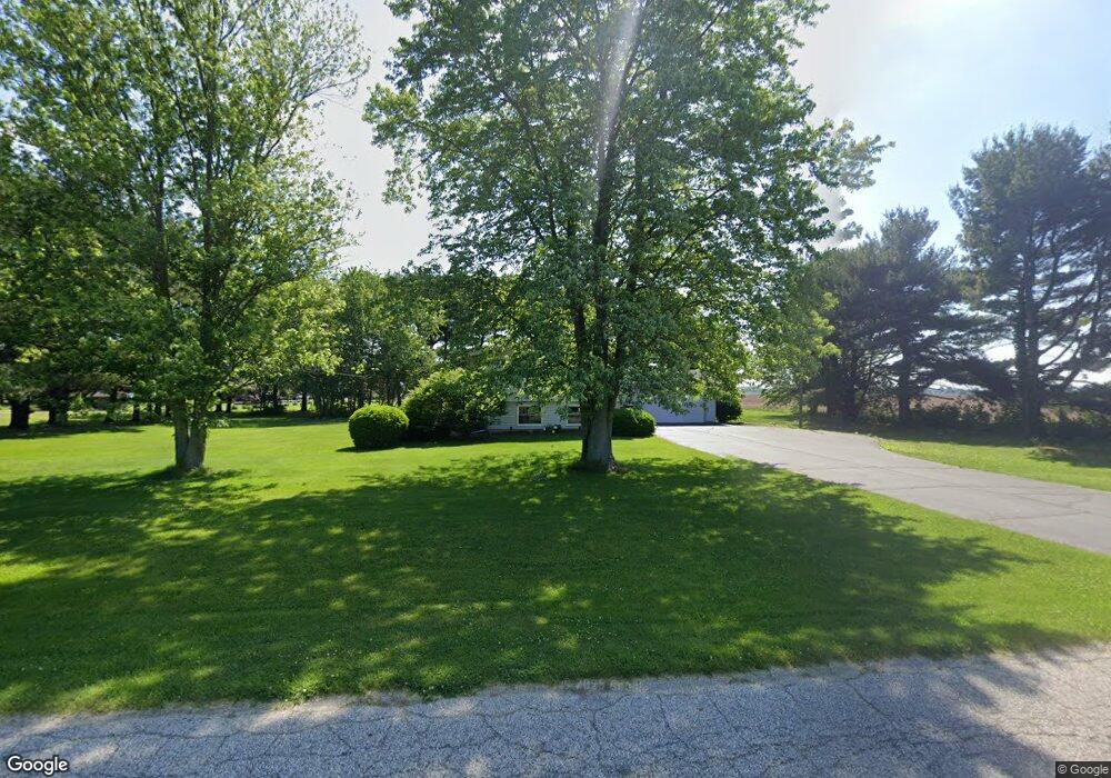
10233 S 1150 W Wanatah, IN 46390
Estimated Value: $259,000 - $330,000
4
Beds
2
Baths
2,012
Sq Ft
$139/Sq Ft
Est. Value
About This Home
This home is located at 10233 S 1150 W, Wanatah, IN 46390 and is currently estimated at $280,373, approximately $139 per square foot. 10233 S 1150 W is a home located in LaPorte County with nearby schools including South Central Elementary School and South Central Junior/Senior High School.
Ownership History
Date
Name
Owned For
Owner Type
Purchase Details
Closed on
Mar 1, 2006
Sold by
Walter George W and Walter Janice R
Bought by
Bessler Marshall
Current Estimated Value
Home Financials for this Owner
Home Financials are based on the most recent Mortgage that was taken out on this home.
Original Mortgage
$116,000
Outstanding Balance
$65,675
Interest Rate
6.2%
Mortgage Type
Fannie Mae Freddie Mac
Estimated Equity
$214,698
Create a Home Valuation Report for This Property
The Home Valuation Report is an in-depth analysis detailing your home's value as well as a comparison with similar homes in the area
Home Values in the Area
Average Home Value in this Area
Purchase History
| Date | Buyer | Sale Price | Title Company |
|---|---|---|---|
| Bessler Marshall | -- | Ticor Title Insurance Co |
Source: Public Records
Mortgage History
| Date | Status | Borrower | Loan Amount |
|---|---|---|---|
| Open | Bessler Marshall | $116,000 |
Source: Public Records
Tax History Compared to Growth
Tax History
| Year | Tax Paid | Tax Assessment Tax Assessment Total Assessment is a certain percentage of the fair market value that is determined by local assessors to be the total taxable value of land and additions on the property. | Land | Improvement |
|---|---|---|---|---|
| 2024 | $1,384 | $155,000 | $38,800 | $116,200 |
| 2022 | $1,436 | $155,600 | $38,800 | $116,800 |
| 2021 | $1,294 | $145,600 | $38,800 | $106,800 |
| 2020 | $1,314 | $145,600 | $38,800 | $106,800 |
| 2019 | $1,210 | $135,800 | $33,500 | $102,300 |
| 2018 | $1,099 | $132,900 | $33,500 | $99,400 |
| 2017 | $1,101 | $130,300 | $33,500 | $96,800 |
| 2016 | $971 | $129,200 | $33,500 | $95,700 |
| 2014 | $1,119 | $143,200 | $36,000 | $107,200 |
Source: Public Records
Map
Nearby Homes
- 105 Earl St
- 9552 S Bigelow Mill Rd
- 116 Sprunger Dr
- 207 N Washington St
- 627 Fieldcrest Cir
- 104 W Cross St
- 305 N Ohio St
- 87 Kaper Ln
- 83 Kaper Ln
- 0 W Hwy 30 Unit GNR545374
- W 800 S V L
- 0 Porters Vale Blvd Unit GNR544918
- 0 St Road 2 Unit GNR544911
- 421 Amy Rose Ln
- 168 Jamestown Ave
- 0 Parcel B 325 E
- 0 Parcel A 325 E
- 493 N 414 E
- 439 Northfield Ln
- 518 E 600 N