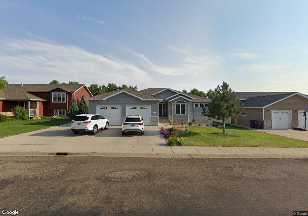
1024 12th St E Dickinson, ND 58601
Estimated Value: $377,000 - $432,061
5
Beds
1
Bath
1,492
Sq Ft
$274/Sq Ft
Est. Value
About This Home
This home is located at 1024 12th St E, Dickinson, ND 58601 and is currently estimated at $409,020, approximately $274 per square foot. 1024 12th St E is a home with nearby schools including Trinity Catholic Schools and Trinity Elementary School East.
Ownership History
Date
Name
Owned For
Owner Type
Purchase Details
Closed on
Jan 11, 2024
Sold by
Deejay Brian
Bought by
Bui Kobe and Huynh Thu Thi
Current Estimated Value
Purchase Details
Closed on
Nov 30, 2010
Sold by
Big K Industries Inc
Bought by
Jay Brian Dee
Home Financials for this Owner
Home Financials are based on the most recent Mortgage that was taken out on this home.
Original Mortgage
$154,280
Interest Rate
4.22%
Mortgage Type
New Conventional
Create a Home Valuation Report for This Property
The Home Valuation Report is an in-depth analysis detailing your home's value as well as a comparison with similar homes in the area
Home Values in the Area
Average Home Value in this Area
Purchase History
| Date | Buyer | Sale Price | Title Company |
|---|---|---|---|
| Bui Kobe | -- | Corinthian Title | |
| Jay Brian Dee | -- | None Available |
Source: Public Records
Mortgage History
| Date | Status | Borrower | Loan Amount |
|---|---|---|---|
| Previous Owner | Jay Brian Dee | $154,280 |
Source: Public Records
Tax History
| Year | Tax Paid | Tax Assessment Tax Assessment Total Assessment is a certain percentage of the fair market value that is determined by local assessors to be the total taxable value of land and additions on the property. | Land | Improvement |
|---|---|---|---|---|
| 2025 | $5,280 | $324,200 | $35,800 | $288,400 |
| 2024 | $4,019 | $324,200 | $35,800 | $288,400 |
| 2023 | $3,198 | $324,200 | $35,800 | $288,400 |
| 2022 | $3,029 | $152,250 | $0 | $0 |
| 2021 | $2,982 | $289,900 | $35,800 | $254,100 |
| 2020 | $3,023 | $289,900 | $35,800 | $254,100 |
| 2019 | $3,032 | $289,900 | $35,800 | $254,100 |
| 2017 | $2,957 | $302,600 | $35,800 | $266,800 |
| 2015 | $2,957 | $337,800 | $34,000 | $303,800 |
| 2014 | $3,086 | $326,300 | $34,000 | $292,300 |
| 2013 | -- | $314,700 | $34,000 | $280,700 |
Source: Public Records
Map
Nearby Homes
- 1008 12th St E
- 1019 12th St E
- 1040 12th St E
- 1003 12th St E
- 1054 12th St E
- 1210 Alexander Dr
- 1219 Alexander Dr
- 1080 12th St E
- 1089 12th St E
- 1162 Gum Ave
- 1230 Alexander Dr
- 1120 Gum Ave
- 1225 Alexander Dr
- 989 Museum Dr
- 1070 Gum Ave
- 1169 11th Ave E
- 1266 Gum Ave
- 1094 Gum Ave
- 1240 Alexander Dr
- 1310 Gum Ave
Your Personal Tour Guide
Ask me questions while you tour the home.