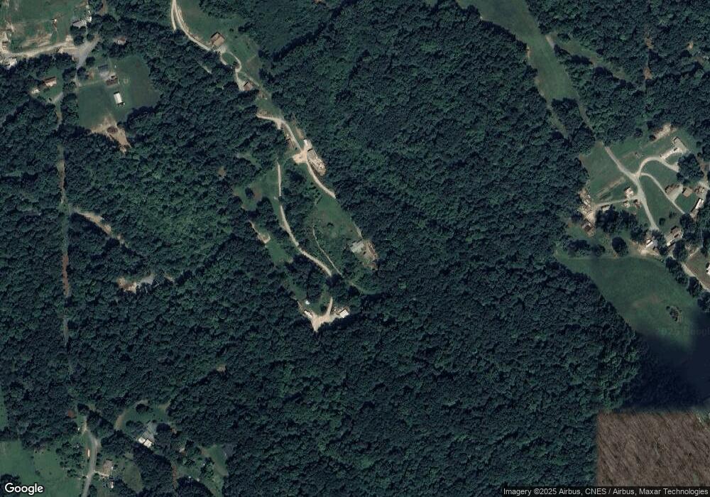
1024 Frank Thornton Rd Dandridge, TN 37725
Estimated Value: $61,000 - $298,000
--
Bed
2
Baths
1,512
Sq Ft
$143/Sq Ft
Est. Value
About This Home
This home is located at 1024 Frank Thornton Rd, Dandridge, TN 37725 and is currently estimated at $216,333, approximately $143 per square foot. 1024 Frank Thornton Rd is a home located in Jefferson County.
Ownership History
Date
Name
Owned For
Owner Type
Purchase Details
Closed on
Feb 7, 2025
Sold by
Thornton Edward E
Bought by
Larkin Meredith and Larkin Brandon
Current Estimated Value
Purchase Details
Closed on
Aug 18, 2022
Sold by
Thornton Edward E and Thornton Loma E
Bought by
Walter Michael W
Purchase Details
Closed on
Aug 17, 2022
Sold by
Thornton Deanna F
Bought by
Thornton Edward E
Purchase Details
Closed on
Sep 13, 2018
Sold by
Thornton Edward E
Bought by
Thornton Edward E
Purchase Details
Closed on
Dec 19, 1997
Bought by
Thornton Steven C
Create a Home Valuation Report for This Property
The Home Valuation Report is an in-depth analysis detailing your home's value as well as a comparison with similar homes in the area
Home Values in the Area
Average Home Value in this Area
Purchase History
| Date | Buyer | Sale Price | Title Company |
|---|---|---|---|
| Larkin Meredith | $60,000 | None Listed On Document | |
| Larkin Meredith | $60,000 | None Listed On Document | |
| Walter Michael W | $85,000 | -- | |
| Walter Michael W | $85,000 | None Listed On Document | |
| Thornton Edward E | -- | None Listed On Document | |
| Thornton Edward E | -- | None Available | |
| Thornton Steven C | -- | -- |
Source: Public Records
Tax History Compared to Growth
Tax History
| Year | Tax Paid | Tax Assessment Tax Assessment Total Assessment is a certain percentage of the fair market value that is determined by local assessors to be the total taxable value of land and additions on the property. | Land | Improvement |
|---|---|---|---|---|
| 2025 | $711 | $49,725 | $14,400 | $35,325 |
| 2023 | $471 | $20,475 | $0 | $0 |
| 2022 | $483 | $22,050 | $8,775 | $13,275 |
| 2021 | $483 | $22,050 | $8,775 | $13,275 |
| 2020 | $483 | $22,050 | $8,775 | $13,275 |
| 2019 | $483 | $22,050 | $8,775 | $13,275 |
| 2018 | $546 | $23,250 | $8,775 | $14,475 |
| 2017 | $546 | $23,250 | $8,775 | $14,475 |
| 2016 | $546 | $23,250 | $8,775 | $14,475 |
| 2015 | $546 | $23,250 | $8,775 | $14,475 |
| 2014 | $546 | $23,250 | $8,775 | $14,475 |
Source: Public Records
Map
Nearby Homes
- 1011 Frank Thornton Rd
- 1011 Frank Thornton Rd
- 0 Rex Thornton Rd
- 0 Rex Thornton Rd Unit 212086
- 1020 Frank Thornton Rd
- 2648 McGaha Hollow Rd
- 2644 McGaha Hollow Rd
- 1007 Frank Thornton Rd
- LT 3 McGaha Hollow Rd
- LT 2 McGaha Hollow Rd
- 0 McGaha Hollow Rd
- 2645 McGaha Hollow Rd
- 1008 Frank Thornton Rd
- 2657 McGaha Hollow Rd
- P81.01 Collier Loop Rd
- 9.3 ac. Prosser Thornton Rd
- 2675 McGaha Hollow Rd
- 2635 McGaha Hollow Rd
- 3527 Collier Loop
- 3527 Collier Loop
