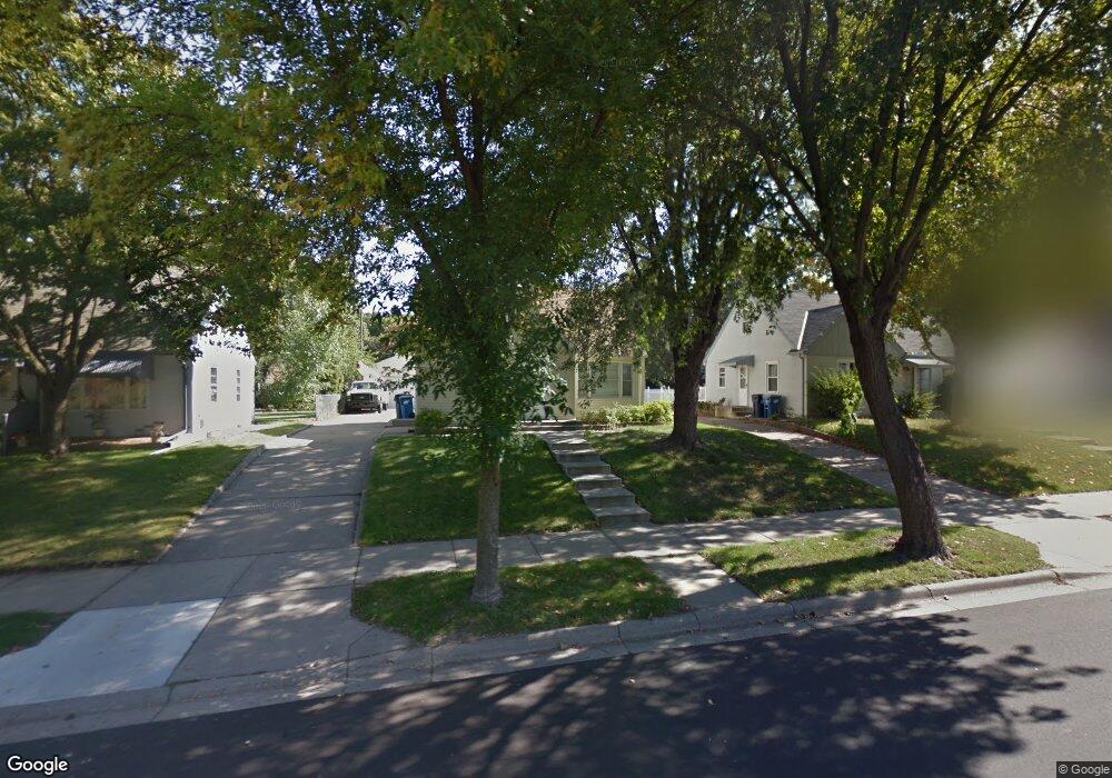
1024 Sperl St Saint Paul, MN 55118
Estimated Value: $313,949 - $358,000
3
Beds
2
Baths
1,156
Sq Ft
$291/Sq Ft
Est. Value
About This Home
This home is located at 1024 Sperl St, Saint Paul, MN 55118 and is currently estimated at $335,987, approximately $290 per square foot. 1024 Sperl St is a home located in Dakota County with nearby schools including Moreland Arts & Health Sciences Magnet School, Heritage E-STEM Magnet School, and Two Rivers High School.
Ownership History
Date
Name
Owned For
Owner Type
Purchase Details
Closed on
Sep 22, 2016
Sold by
West Mitchell J and West Casey
Bought by
Jossart Darin R
Current Estimated Value
Home Financials for this Owner
Home Financials are based on the most recent Mortgage that was taken out on this home.
Original Mortgage
$182,000
Outstanding Balance
$145,468
Interest Rate
3.45%
Mortgage Type
New Conventional
Estimated Equity
$190,519
Purchase Details
Closed on
Jan 8, 2014
Sold by
Onsted Nicole
Bought by
West Mitchell and West Casey
Purchase Details
Closed on
Sep 30, 2005
Sold by
Witnam Michael S and Witnam Jill M
Bought by
West Mitchell and Onsted Nicole
Purchase Details
Closed on
Aug 2, 1996
Sold by
Husnik Craig and Husnik Katherine
Bought by
Witham Michael S and Kedrowski Jill M
Create a Home Valuation Report for This Property
The Home Valuation Report is an in-depth analysis detailing your home's value as well as a comparison with similar homes in the area
Home Values in the Area
Average Home Value in this Area
Purchase History
| Date | Buyer | Sale Price | Title Company |
|---|---|---|---|
| Jossart Darin R | $192,000 | Partners Title Llc | |
| West Mitchell | -- | None Available | |
| West Mitchell | $213,000 | -- | |
| Witham Michael S | $93,000 | -- |
Source: Public Records
Mortgage History
| Date | Status | Borrower | Loan Amount |
|---|---|---|---|
| Open | Jossart Darin R | $182,000 |
Source: Public Records
Tax History Compared to Growth
Tax History
| Year | Tax Paid | Tax Assessment Tax Assessment Total Assessment is a certain percentage of the fair market value that is determined by local assessors to be the total taxable value of land and additions on the property. | Land | Improvement |
|---|---|---|---|---|
| 2024 | $3,604 | $291,500 | $66,800 | $224,700 |
| 2023 | $3,604 | $299,700 | $70,800 | $228,900 |
| 2022 | $3,090 | $285,600 | $70,500 | $215,100 |
| 2021 | $2,848 | $247,500 | $61,300 | $186,200 |
| 2020 | $2,790 | $228,800 | $58,400 | $170,400 |
| 2019 | $2,545 | $218,900 | $55,600 | $163,300 |
| 2018 | $2,378 | $193,900 | $52,000 | $141,900 |
| 2017 | $2,216 | $189,700 | $49,500 | $140,200 |
| 2016 | $2,153 | $172,300 | $45,000 | $127,300 |
| 2015 | $2,074 | $146,207 | $38,398 | $107,809 |
| 2014 | -- | $136,179 | $35,093 | $101,086 |
| 2013 | -- | $127,350 | $31,880 | $95,470 |
Source: Public Records
Map
Nearby Homes
- 254 Arion St E
- 273 Butler Ave E
- 235 Mainzer St
- 297 Hurley St E
- 1107 Oakdale Ave
- 1616 Stickney Ave
- 1560 Stickney Ave
- 377 Winona St E
- 1425 Evans Ave
- 1421 Evans Ave
- 180 Wyoming St E
- 203 Moreland Ave E
- 369 Belvidere St E Unit 369B
- 1436 Stickney Ave
- 751 Woodbury St
- 492 Curtice St E
- 1251 Macarthur Ave
- 255 Curtice St E
- 230 Stanley Ave
- 344 Page St E